
Solitude Lane in Richmond, California
Solitude Lane in Richmond is a residential street. It runs in an east-west direction starting from Rain Cloud Drive and crosses Crows Nest Way.
- Road Type
- residential street
- Route
- east-west
Image
Schools
Bus stops
Streets nearby
Crows Nest Way400 ft
Silver Belt Drive0.1 mi
Rain Cloud Drive0.1 mi
Devils Drop Court0.1 mi
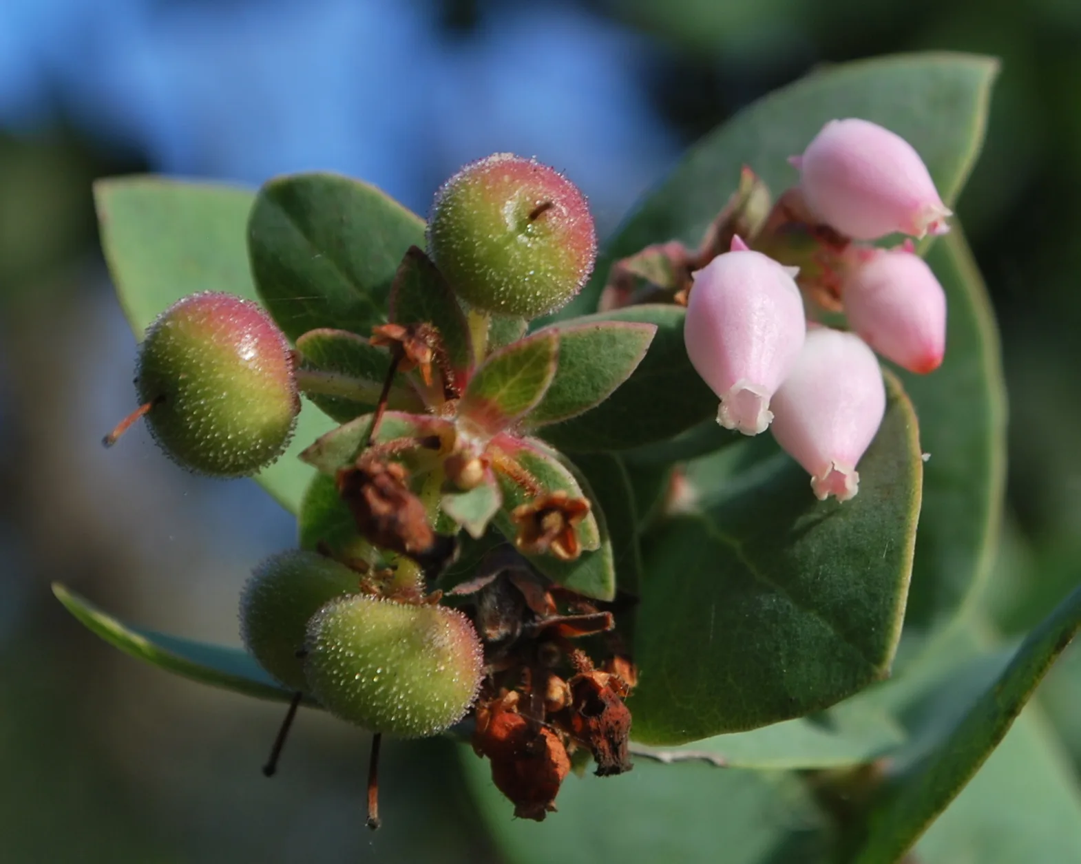
Manzanita Loop Trail0.1 mi
Skyview Drive0.2 mi
Travalini Court0.2 mi
Echo Hawk Court0.2 mi
Amend Road0.2 mi
Manazanita Loop Trail0.3 mi
Big Bear Court0.3 mi
Heavenly Ridge Trail0.3 mi
Skyview Place0.3 mi
Garrison Road0.3 mi
Kipling Drive0.3 mi
Little Peak Court0.3 mi
Maison Way0.3 mi
Fascination Circle0.3 mi
Amend Court0.3 mi
Soft Shadow Court0.3 mi
Pioneer Court0.3 mi
Ponderosa Court0.4 mi
Kipling Court0.4 mi
Snowdrift Court0.4 mi
Dias Court0.4 mi
Sobrante Ridge footpath0.4 mi
Heavenly Ridge Lane0.4 mi
Pamela Court0.4 mi
Powder Bowl Court0.4 mi
Archery Court0.4 mi
Olinda Court0.5 mi
Olinda RoadOlinda Road & Archery Way, Olinda Road & Robinhood Drive, Olinda Road & Olinda Elementary School, 5481 Olinda Road, Sherwood Forest Baptist Church, Olinda Road & Wendy Lane
0.5 mi
Castro Ranch RoadCastro Ranch Road & Olinda Drive, Castro Ranch Road & Amend Road
0.5 mi
Simoni Drive0.5 mi
Nottingham Drive0.5 mi
Archery Way0.5 mi
Spanish Trails Court0.5 mi
Nottingham Court0.6 mi
Marian Court0.6 mi
Sherwood Forest Drive0.6 mi
Hidden Springs Court0.6 mi
Scotts Chute Court0.6 mi
Broken Oaks Trail0.6 mi
Sobrante Ridge Trail0.6 mi
Morningside Drive0.7 mi
Thunderhead Court0.7 mi
Rocky Road0.7 mi
 Public transit map Richmond Legend
| Railway | |
| Bus | |
| Streetcar |
 Bicycle map Richmond Legend
| Bike path | |
| Bike lane on roadway | |
| Cycling allowed on bus lane | |
| Bicycle street | |
| Open to cyclists | |
| Open to cyclists, good path | |
| Cycling prohibited | |
| Cobblestone |
| Long-distance bike route | (depending on scale) | |
| Long-distance bike route |
 Pedestrian map Richmond Legend
| Path |
| Long-distance hiking trail | (depending on scale) | |
| Long-distance hiking trail | ||
| Pedestrians prohibited |