
Auto Center Drive in Santa Clarita, California
Auto Center Drive in Santa Clarita is an unclassified road. It runs in a north-south direction and crosses Creekside Road and Magic Mountain Parkway and ends at Town Center Drive, while the other end is a cul-de-sac. Auto Center Drive is also known as Newhall Avenue. Auto Center Drive also exists in Claremont, Compton and Palmdale.
- Alternate Name
- Newhall Avenue
- Road Type
- unclassified road
- Route
- north-south
Image
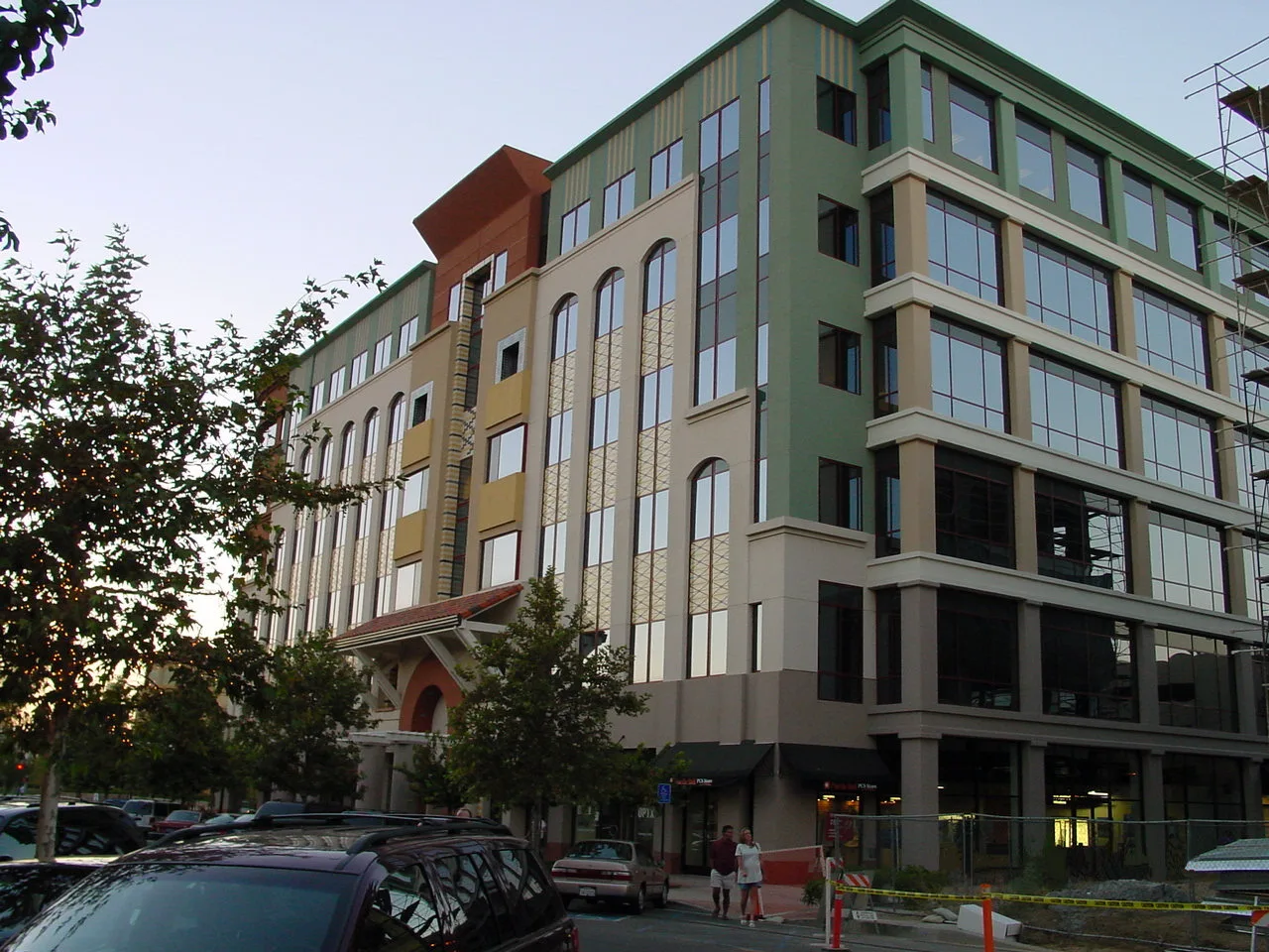
Variety stores
Liquor stores
Video game stores
Banks
Car washes
Movie theaters
Restaurants
Furniture stores
Fast food restaurants
Cosmetics stores
Supermarkets
Candy stores
Sporting goods stores
Cafes
Streets nearby
Creekside RoadDollar Tree, Barnes & Noble, Black Bear Diner
450 ft
Town Center DriveBurger King, Saddle Ranch, Cinnabon, BJ's, The Cheesecake Factory, The Dudes Brewing Company, Pottery Barn, Larsen's Steakhouse, City National Bank, Souplantation, Macy's, Wokcano, Solita, Chop Stop, HomeGoods, Crumbl Cookies, Tillys, Party City, The Good Feet Store, Nordstrom Rack, TJ Maxx, Gyu-Kaku
0.2 mi
Theater DriveRegal Edwards Valencia Stadium 12 & IMAX, Salt Creek, Buca di Beppo
0.3 mi
Citrus Street0.3 mi
Carrige Lane0.4 mi
Riverchase DrivePeet's Coffee, Jamba, Logix FCU, Luv'n Donuts, Cold Stone Creamery, School's First Federal Credit Union, Ooh La La Panini, Sutra Threading Salon, Westside Tan, Masa Ramen
0.4 mi
Magic Mountain ParkwayBen & Jerry's, Firehouse Subs, Baja Fresh, Starbucks, Toppers, Black Angus, Hook Burger, Presto Pasta, Nékter Juice Bar, Jersey Mike's Subs, 85°C
0.4 mi
East Island Road0.5 mi
Waterside Court0.5 mi
Lakeside Road0.5 mi
Rodin Lane0.5 mi
Bridgeport Lane0.5 mi
West Island Road0.5 mi
Avenue ScottScott & Anza, Scott & Kearny, Scott & Stanford
0.5 mi
Avignon Drive0.5 mi
Van Gogh Lane0.5 mi
San Francisquito Creek Trail0.5 mi
Colonial Lane0.5 mi
Twin Tides Drive0.6 mi
Edgewater Lane0.6 mi
McBean ParkwayMcDonald's, Wells Fargo, Circle K, McBean & Bridgeport, McBean & Mall, McBean & Town Center, McBean & Newhall Ranch, McBean & Baywood, McBean & Magic Mountain, McBean & Creekside, Zankou Chicken, Chase
0.6 mi
View Pointe Lane0.6 mi
Cape Cod Drive0.6 mi
Apartment buildings nearby
Monticello Apartment Homes0.4 mi
Banks nearby
Wells Fargo0.2 mi
Car dealerships nearby
Kia of Valencia300 ft
Hello Mazda of Valencia300 ft
Bestway400 ft
Parkway Buick Gmc Cadillac0.1 mi
Parkway Hyundai0.1 mi
GMC0.1 mi
Infiniti0.2 mi
Audi Valencia0.2 mi
AutoNation Ford Valencia0.3 mi
Commercial buildings nearby
Princess Cruises0.2 mi
Department stores nearby
Target0.3 mi
Fast food restaurants nearby
Chick-fil-A0.1 mi
Chipotle0.3 mi
McDonald's0.4 mi
Fitness centers nearby
Henry Mayo Fitness and Health0.4 mi
Hotels nearby
Hyatt Regency0.4 mi
Post offices nearby
United States Post Office0.3 mi
Restaurants nearby
Mimi's Cafe500 ft
Johnny Rockets0.3 mi
Olive Garden0.3 mi
Red Robin0.4 mi
Rivers nearby
South Fork Santa Clara River0.2 mi
Santa Clara River0.4 mi
Shopping malls nearby
Westfield Valencia Center0.2 mi
 Public transit map Santa Clarita Legend
| Railway | |
| Bus | |
| Streetcar |
 Bicycle map Santa Clarita Legend
| Bike path | |
| Bike lane on roadway | |
| Cycling allowed on bus lane | |
| Bicycle street | |
| Open to cyclists | |
| Open to cyclists, good path | |
| Cycling prohibited | |
| Cobblestone |
| Long-distance bike route | (depending on scale) | |
| Long-distance bike route |
 Pedestrian map Santa Clarita Legend
| Path |
| Long-distance hiking trail | (depending on scale) | |
| Long-distance hiking trail | ||
| Pedestrians prohibited |