
Sherman Way in Van Nuys Neighborhood Council District, Los Angeles, California
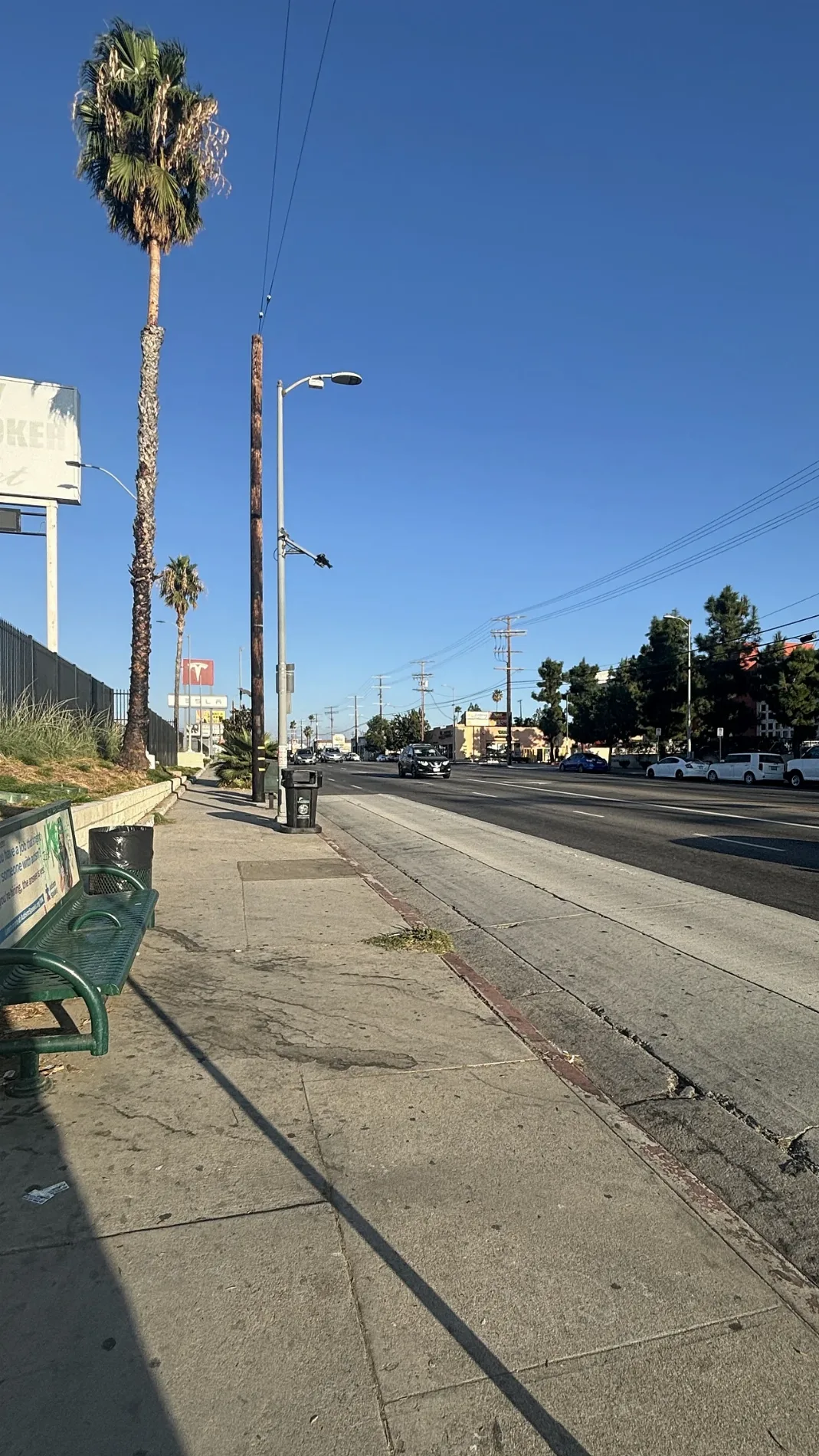
Sherman Way in Van Nuys Neighborhood Council District in Los Angeles is a main road. It runs in an east-west direction and crosses Lurline Avenue, Kelvin Avenue, De Soto Avenue, Loma Verde Avenue, Independence Avenue, Balboa Boulevard, Genesta Avenue, Amestoy Avenue, Louise Avenue, Andasol Avenue, Encino Avenue and Caldus Avenue. It ends in a cul-de-sac and connects Reseda, Lake Balboa Neighborhood Council District, Van Nuys Neighborhood Council District, North Hollywood Northeast Neighborhood Council District, Canoga Park Neighborhood Council District and Winnetka Neighborhood Council District. Nearby you can find among others 5 fast food restaurants, 4 places of worship, 2 restaurants and a cafe. The nearest stops include Sherman/Kester, Sherman/Noble, Sherman/Orion, Sherman/Cedros and Sherman/Sepulveda. The bus lines 1C, 4, 162, 2034, FlyAway Van Nuys and Panorama City/Van Nuys serve this stop. Ⓦ.
- Road Type
- residential street
- Speed Limit
- 25 mph
- Route
- east-west
Image
Fast food restaurants
Beauty salons
Restaurants
Bus stops
- bus lines 1C, 4, 162, 2034, FlyAway Van Nuys, Panorama City/Van Nuys
Places of worship
Cafes
Pharmacies
Banks
Bakeries
Social facilities
Streets nearby
Gault StreetBanks nearby
ChaseBars nearby
Liquid ZooCafes nearby
StarbucksCar washes nearby
Van Nuys Express Car WashFast food restaurants nearby
McDonald'sGas stations nearby
ChevronHotels nearby
Hyland Inn Van NuysLiquor stores nearby
Tori Liquor & Junior MarketPharmacies nearby
CVS PharmacySupermarkets nearby
JONS MarketplaceWarehouses nearby
City Self Storage| Named after | Moses Sherman |
|---|---|
| Located in | Los Angeles |
| Country | United States |
| Location | San Fernando Valley |
 Public transit map Van Nuys Neighborhood Council District Legend
| Railway | |
| Bus | |
| Streetcar |
 Bicycle map Van Nuys Neighborhood Council District Legend
| Bike path | |
| Bike lane on roadway | |
| Cycling allowed on bus lane | |
| Bicycle street | |
| Open to cyclists | |
| Open to cyclists, good path | |
| Cycling prohibited | |
| Cobblestone |
| Long-distance bike route | (depending on scale) | |
| Long-distance bike route |
 Pedestrian map Van Nuys Neighborhood Council District Legend
| Path |
| Long-distance hiking trail | (depending on scale) | |
| Long-distance hiking trail | ||
| Pedestrians prohibited |