
West 125th Street in Calumet Park, Illinois
West 125th Street in Calumet Park is a residential street. It runs in an east-west direction and crosses Paulina Street and ends at 125th Street, while the other end is a cul-de-sac.
- Road Type
- residential street
- Route
- east-west
Image
Schools
Auto parts stores
Gift shops
Pharmacies
Bus stops
Platforms
Vending machines
Stations
Rental services
Furniture stores
Police stations
Streets nearby
Paulina Street50 ft
South Ashland AvenueAshland Avenue, Metra
0.2 mi
126th Street0.2 mi
125th Street0.2 mi
Honore Street0.2 mi
Justine Street0.2 mi
South Page StreetSaint Isidore School, 119th Street & Page
0.2 mi
124th Street124th Street & Racine, 124th Street & Throop, 124th Street & Aberdeen, 124th Street & Morgan, 124th Street & Halsted, 124th Street & Peoria
0.2 mi
Laflin Street0.3 mi
West 123rd Street0.3 mi
Marshfield AvenueAdvance Auto Parts, Rent-A-Center, Edible Arrangements, Walgreens
0.3 mi
South Marshfield Avenue0.3 mi
Bishop StreetCalumet Park, U-Haul
0.3 mi
West 127th StreetBurr Oak, Metra, 127th Street & Page, 127th Street & Bishop, 127th Street & Ashland
0.3 mi
West Asher Street0.3 mi
Lincoln Street0.3 mi
Winchester Avenue0.3 mi
West 122nd Place0.4 mi
128th Street0.4 mi
Oak StreetWood & Oak/128th Street, Saint Aidan's Episcopal Church
0.5 mi
Prairie StreetPrairie Street, Grace Methodist Church
0.5 mi
Union StreetWood & Union
0.5 mi
Wood StreetWood & 127th Street, Wood & York, Wood & Oak/128th Street, Wood & Union
0.5 mi
Community centers nearby
Calumet Township Community Center0.2 mi
Convenience stores nearby
Shell0.2 mi
GoLo0.3 mi
Citgo0.3 mi
BP Shop0.3 mi
Mobil Mart0.3 mi
Fast food restaurants nearby
McDonald's0.3 mi
Burger King0.3 mi
Wendy's0.4 mi
Taco Bell0.4 mi
Fire stations nearby
Calumet Park Fire Department0.1 mi
Gas stations nearby
BP0.3 mi
Mobil0.3 mi
Hotels nearby
Plaza Inn0.4 mi
Days Inn Calumet Park0.4 mi
Industrial areas nearby
Calumet Park Public Works0.3 mi
Libraries nearby
Calumet Park Public Library0.3 mi
Motels nearby
Knights Inn Calumet Park0.4 mi
Parks nearby
Veterans Park0.3 mi
Centennial Park0.4 mi
Places of worship nearby
Saint Isidore Roman Catholic Church0.3 mi
Railways nearby
Blue Island Sub District350 ft
Sports fields nearby
Schrei Field0.5 mi
Train stations nearby
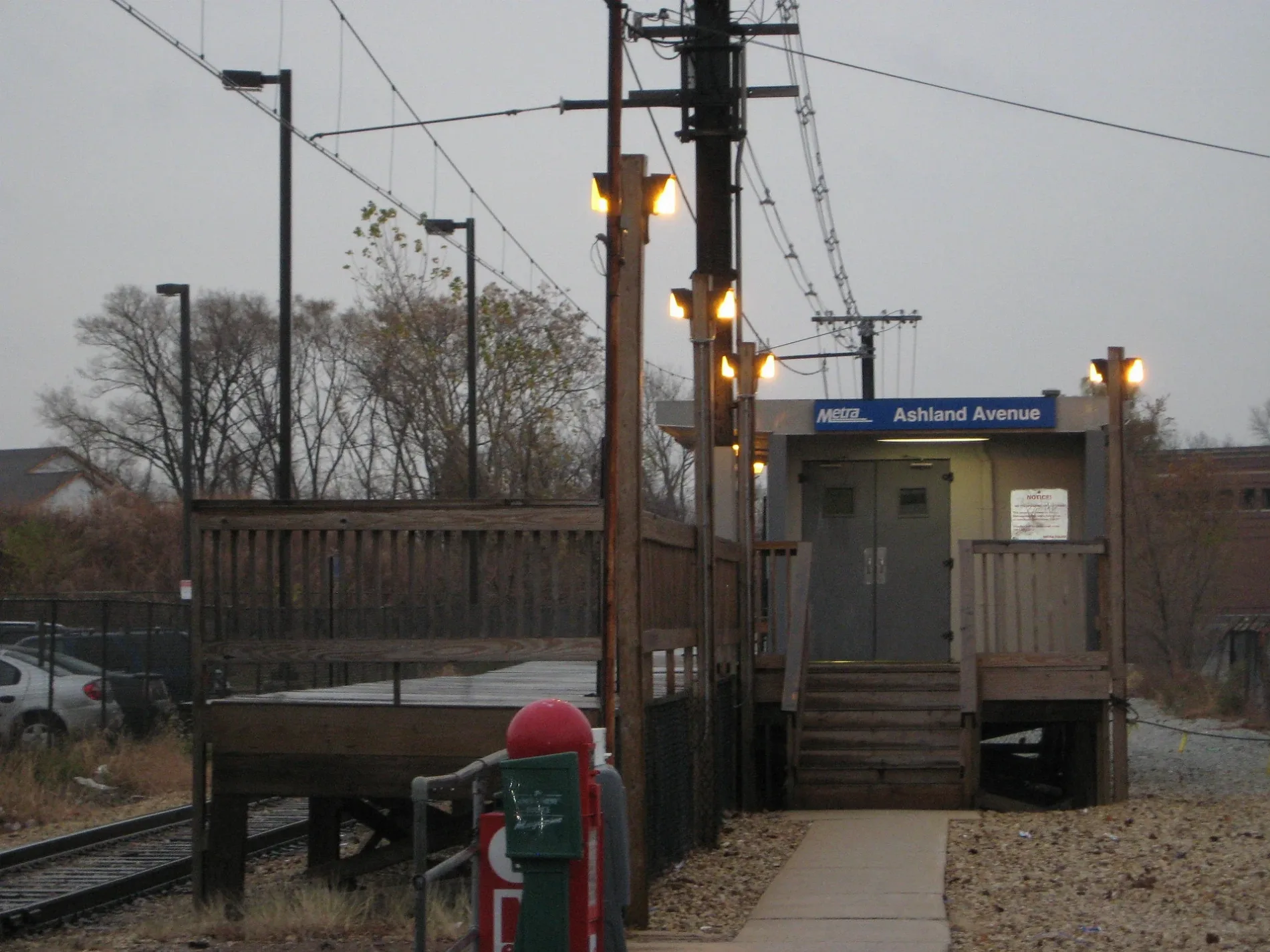
Ashland Metra Station0.2 mi
Burr Oak Metra Station0.4 mi
Variety stores nearby
Family Dollar0.2 mi
 Public transit map Calumet Park Legend
| Railway | |
| Bus | |
| Streetcar |
 Bicycle map Calumet Park Legend
| Bike path | |
| Bike lane on roadway | |
| Cycling allowed on bus lane | |
| Bicycle street | |
| Open to cyclists | |
| Open to cyclists, good path | |
| Cycling prohibited | |
| Cobblestone |
| Long-distance bike route | (depending on scale) | |
| Long-distance bike route |
 Pedestrian map Calumet Park Legend
| Path |
| Long-distance hiking trail | (depending on scale) | |
| Long-distance hiking trail | ||
| Pedestrians prohibited |