
South Cedar Lane in Elmwood Charter Township, Michigan
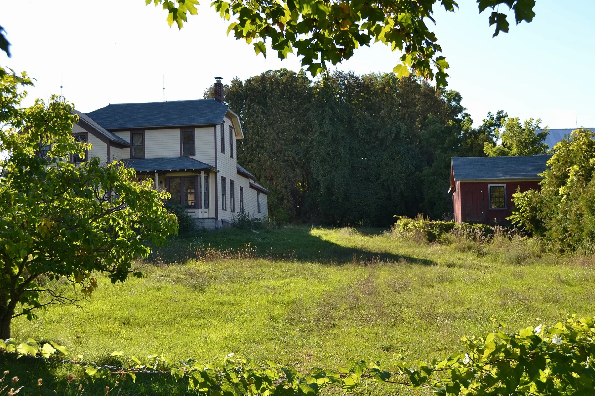
South Cedar Lane in Elmwood Charter Township is a residential street. It runs in a north-south direction and ends at East Cherry Bend Road, while the other end is a cul-de-sac. South Cedar Lane also exists in Ottawa County.
- Road Type
- residential street
- Route
- north-south
Image
Social facilities
Garden centers
Farm stores
Streets nearby
Leelanau Trail300 ft
Cherry Bend Tart Trail ParkingCherry Bend Trailhead
450 ft
South Sunset Drive0.2 mi
South Sylvia Street0.3 mi
South Pedalers Lane0.3 mi
Pickwick Drive0.3 mi
East Claremont Drive0.3 mi
South Meadowbrook Drive0.3 mi
South Regal Street0.3 mi
Markel Court0.3 mi
East Westmore Drive0.3 mi
South Roseland Drive0.4 mi
South Briar Drive0.4 mi
East Pico Drive0.4 mi
East Harbor Hills Drive0.4 mi
South Twin Creek Drive0.4 mi
East Grandview Court0.4 mi
Paradise Drive0.4 mi
South West Bay Shore DriveGreilickville, Harrington's By The Bay, West End Tavern, Crystal Spring
0.4 mi
East Cedar Bay Trail0.4 mi
South Marina Village Drive0.4 mi
South Elk Run Drive0.4 mi
Schooner Drive0.5 mi
Fisherman Curve0.5 mi
East Cherry Bend RoadCherry Bend, Elmwood Twp. Recycling Drop
0.5 mi
South Harbor Pointe Drive0.5 mi
Buildings nearby
AT&T0.2 mi
Grand Traverse Regional Arts Campus0.4 mi
Commercial buildings nearby
Korner Gem0.5 mi
Convenience stores nearby
Cherry Bend Grocery0.3 mi
Fast food restaurants nearby
Buchan's West Bay0.5 mi
Fire stations nearby
Elmwood Township Fire & Rescue0.5 mi
Gas stations nearby
Speedway0.5 mi
Marinas nearby
CenterPointe Marina0.5 mi
Harbor West Yacht Club0.5 mi
Parks nearby
Cedar Lake Boating Access Site0.1 mi
Cherry Bend Community Park0.3 mi
Places of worship nearby
West Bay Covenant Church0.4 mi
Residential areas nearby
Cedar View500 ft
Bay View0.1 mi
Cedar Lake Gardens0.2 mi
Grand View Terrace0.2 mi
Cherry Bend Heights0.3 mi
Harbor Hills West0.3 mi
Briarwood0.4 mi
Cedar Creek Commons0.5 mi
Streams nearby
Cedar Creek0.4 mi
Brewery Creek0.5 mi
Veterinary clinics nearby
VCA Cherry Bend Animal Hospital500 ft
 Public transit map Elmwood Charter Township Legend
| Railway | |
| Bus | |
| Streetcar |
 Bicycle map Elmwood Charter Township Legend
| Bike path | |
| Bike lane on roadway | |
| Cycling allowed on bus lane | |
| Bicycle street | |
| Open to cyclists | |
| Open to cyclists, good path | |
| Cycling prohibited | |
| Cobblestone |
| Long-distance bike route | (depending on scale) | |
| Long-distance bike route |
 Pedestrian map Elmwood Charter Township Legend
| Path |
| Long-distance hiking trail | (depending on scale) | |
| Long-distance hiking trail | ||
| Pedestrians prohibited |