
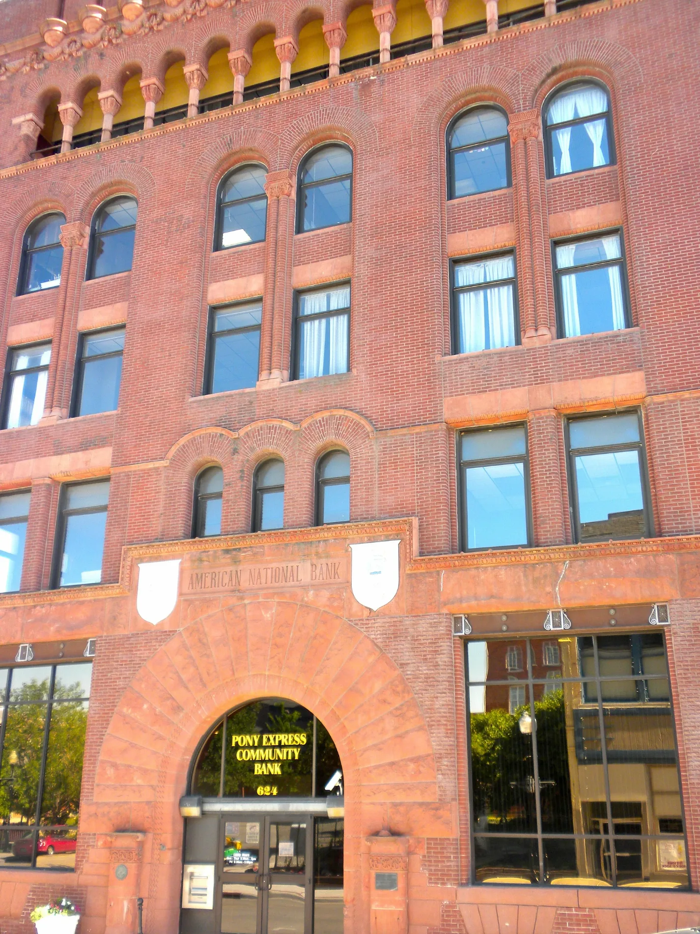
South 11th Street in St. Joseph, Missouri
South 11th Street in Saint Joseph is a residential street. It runs in a north-south direction starting from Felix Street and crosses Edmond Street, Charles Street, Sylvanie Street and Angelique Street and ends at Messanie Street. South 11th Street also exists in Osage County, Christian County, Jasper County, Putnam County and Atchison County.
- Road Type
- residential street
- Route
- north-south
Image
Schools
Cafes
Banks
Delis
Auto repair shops
Restaurants
Artworks
Florists
Gift shops
Hair salons
Pubs
Places of worship
Craft stores
Sporting goods stores
Clothing stores
Tea shops
Attractions
Streets nearby
South 12th Street400 ft
South 10th StreetPatee Park Baptist Church
0.1 mi
Edmond StreetSherwood School, 1st Barrel Brewing, President Lincoln Mural, Edmond Street Parlor, Equity Bank, Mokaska Coffee Company, Garden Gate Flowers
0.1 mi
South 13th Street0.1 mi
South 9th Street0.1 mi
North 10th Street0.2 mi
Francis StreetPony Express Monument, The Lucky Tiger, Restoration Church, Geneo's Pizza and Pub, RC's Lunch Car
0.2 mi
North 9th Street0.2 mi
South 8th StreetArt Attack Studio LLC, Tower Skate Co
0.2 mi
North 12th Street0.2 mi
South 15th Street0.3 mi
Vine Street0.3 mi
North 13th Street0.3 mi
Sylvanie Street0.3 mi
South 16th Street0.3 mi
North 16th Street0.3 mi
North 15th Street0.3 mi
Charles StreetThe Big FIsh
0.3 mi
South 17th Street0.4 mi
Messanie StreetTitleMax, Hornbill Asian Market, MO
0.4 mi
Locust StreetMagoons Famous Delicatessen
0.4 mi
Angelique StreetHorace Mann School
0.4 mi
Patee Street0.4 mi
South 14th StreetEverett School
0.5 mi
South 19th Street0.5 mi
South 18th Street0.5 mi
Buildings nearby
St Joseph School District0.1 mi
Twin Spires0.1 mi
The Dome0.1 mi
St Joseph News-Press0.2 mi
Bartlett Center0.5 mi
Commercial buildings nearby
Edmond Office Plaza0.1 mi
Family Guidance Center0.2 mi
Fast food restaurants nearby
Taco Bell0.2 mi
Libraries nearby
St Joseph Public Library0.1 mi
Museums nearby
Wyeth-Tootle Mansion200 ft
Parks nearby
Civic Center Park0.1 mi
Lewis Park0.3 mi
Places of worship nearby
First English Evangelical Lutheran Church0.1 mi
Francis Street First United Methodist Church0.2 mi
First Baptist Church0.2 mi
Calvary Chapel of Saint Joseph0.3 mi
Saint Joseph Restoration Church0.3 mi
Saint Francis Baptist Temple0.4 mi
Temple Adath Joseph0.4 mi
Post offices nearby
US Post Office and Courthouse0.2 mi
Residential buildings nearby
City View Lofts400 ft
Restaurants nearby
JC Wyatt House0.2 mi
Town halls nearby
Saint Joseph City Hall0.2 mi
 Public transit map Saint Joseph Legend
| Railway | |
| Bus | |
| Streetcar |
 Bicycle map Saint Joseph Legend
| Bike path | |
| Bike lane on roadway | |
| Cycling allowed on bus lane | |
| Bicycle street | |
| Open to cyclists | |
| Open to cyclists, good path | |
| Cycling prohibited | |
| Cobblestone |
| Long-distance bike route | (depending on scale) | |
| Long-distance bike route |
 Pedestrian map Saint Joseph Legend
| Path |
| Long-distance hiking trail | (depending on scale) | |
| Long-distance hiking trail | ||
| Pedestrians prohibited |