
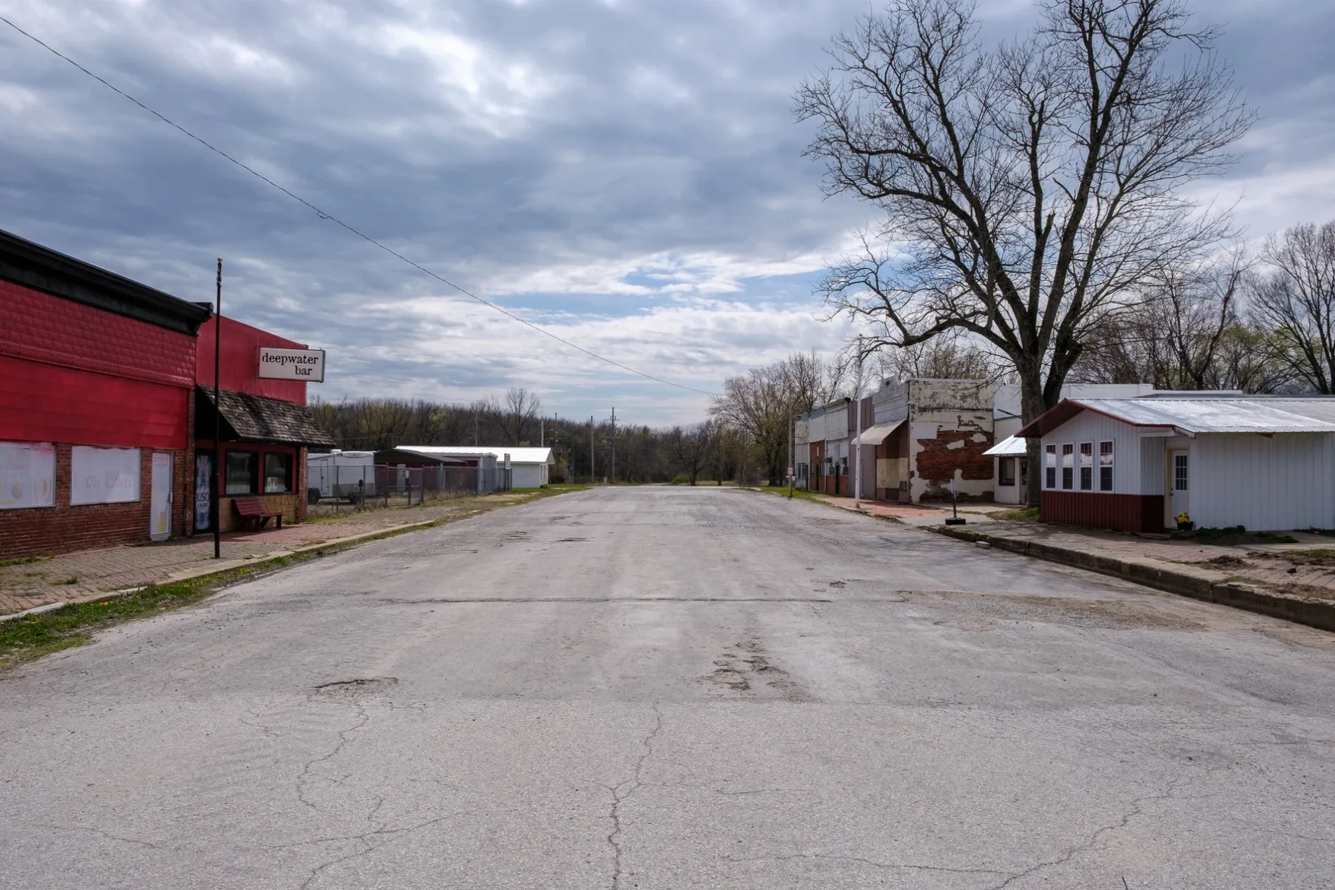
South 3rd Street in Deepwater, Missouri
South 3rd Street in Deepwater is a residential street. It runs in a north-south direction starting from North 3rd Street and crosses C Street, D Street, E Street and F Street and ends at G Street. South 3rd Street also exists in Clinton.
- Road Type
- residential street
- Route
- north-south
Image
Bars
Streets nearby
D Street400 ft
South 4th Street400 ft
South 2nd StreetDeepwater Bar
0.1 mi
F Street0.1 mi
South 5th Street0.1 mi
E Street0.1 mi
South 1st Street0.2 mi
G Street0.2 mi
B Street0.2 mi
South 6th Street0.2 mi
C StreetDeepwater
0.3 mi
North 3rd Street0.3 mi
South 7th Street0.3 mi
North 1st Street0.3 mi
A Street0.3 mi
North 4th Street0.3 mi
North 2nd Street0.3 mi
North 5th Street0.3 mi
11th Street0.3 mi
North 6th Street0.3 mi
North Street0.4 mi
South 8th Street0.4 mi
North 7th Street0.4 mi
H Street0.4 mi
North 8th Street0.4 mi
Southwest 101 Road0.4 mi
Grove Street0.4 mi
Southwest 786 Road0.5 mi
Holiday0.6 mi
Sherwood Avenue0.6 mi
Devonshire0.7 mi
Green Meadows Lane0.7 mi
Cloverdale0.7 mi
Southwest 700 Road0.7 mi
Carriage Drive0.7 mi
Southeast 700 Road1.3 mi
Southeast 41 RoadNew Harmony School
1.4 mi
Southwest 131 Road1.4 mi
Southeast 800 Road1.4 mi
Southwest 51 Road1.6 mi
Southwest 900 Road1.6 mi
Southeast 900 Road1.9 mi
Southwest 201 RoadPleasant Valley Church
2.1 mi
Southwest 101st Road2.3 mi
Southwest 512.5 mi
Southwest 500 Road2.6 mi
Southwest 1000 Road2.7 mi
 Public transit map Deepwater Legend
| Railway | |
| Bus | |
| Streetcar |
 Bicycle map Deepwater Legend
| Bike path | |
| Bike lane on roadway | |
| Cycling allowed on bus lane | |
| Bicycle street | |
| Open to cyclists | |
| Open to cyclists, good path | |
| Cycling prohibited | |
| Cobblestone |
| Long-distance bike route | (depending on scale) | |
| Long-distance bike route |
 Pedestrian map Deepwater Legend
| Path |
| Long-distance hiking trail | (depending on scale) | |
| Long-distance hiking trail | ||
| Pedestrians prohibited |