
Barrow in Carlow
Barrow in Carlow in The Municipal District of Carlow is a river. Barrow also exists in Strawhall. Ⓦ.
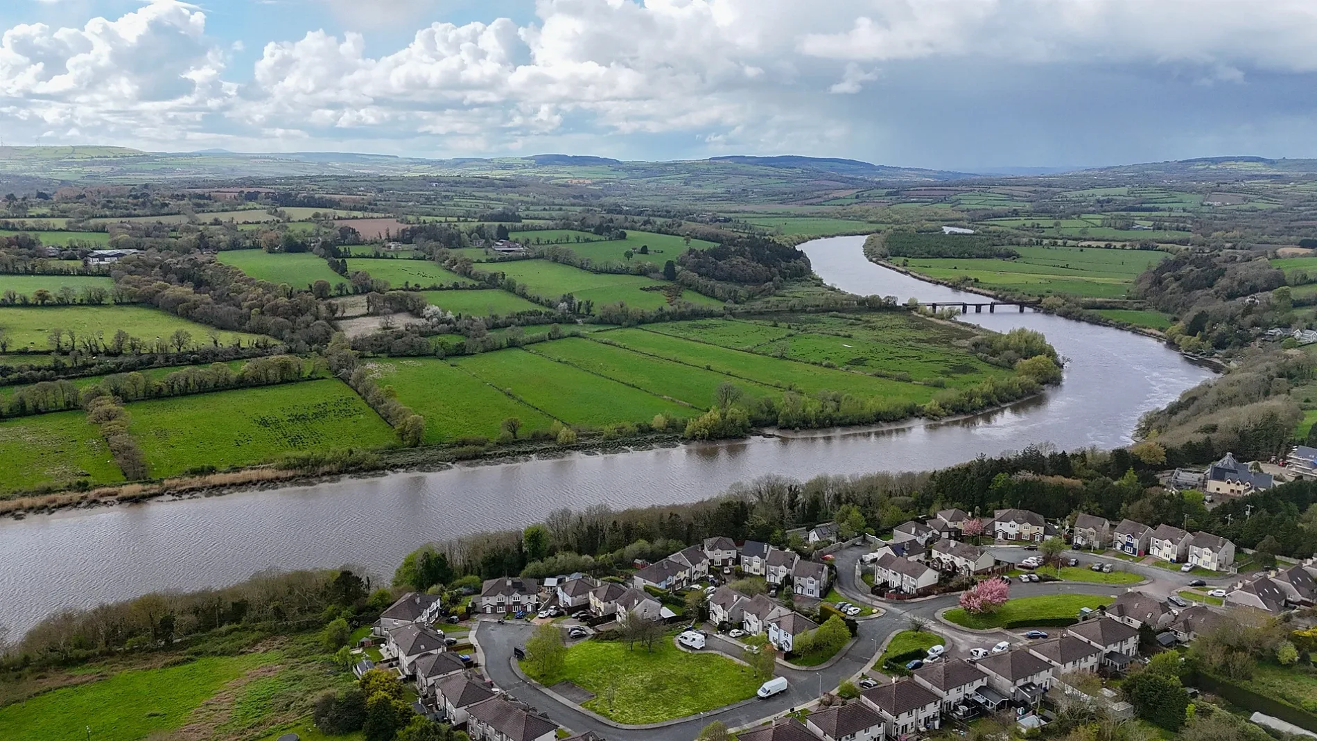
- Waterway Type
- river
Petrol stations
Pet shops
Convenience stores
Fast food restaurants
University
Roads nearby
The Barrow Way200 m
Shaw Park200 m
Hazel CourtThe Barrow Trackway Burial Ground
250 m
Braganza250 m
The Elms300 m
Montgomery Street300 m
Park LaneOakview Food Store
300 m
Athy Road350 m
Andy Murphy Road350 m
William Dargan Road400 m
Tanner Hall400 m
Barrow Track400 m
Athy Road Roundabout450 m
Cannery Road500 m
Sleaty StreetZokia
500 m
Frederick Avenue550 m
Heather Hill Square550 m
Greenbank RoadEasyGo Fast Charger
550 m
Delta CentreDelta Centre Café
550 m
Court Place600 m
Dublin RoadCircle K, Deerpark, Deerpark Texaco, Ceatharloch
600 m
Tinteán Rísigh650 m
Railway RoadESB Electric Vehicle Charge Point
700 m
Aylesbury700 m
Saint Joseph's RoadCarlow, Carlow Train Station, Saint Joseph's National School
750 m
Strawhall Industrial Estate750 m
Pinewood800 m
Attraction nearby
Delta Sensory Gardens550 m
Buildings nearby
TheGrid.ie400 m
Freemasons400 m
Greenbanks450 m
Car parts shops nearby
AD Motor Factors250 m
Cemeteries nearby
The Old Graves200 m
District Hospital burial Ground (Disused)550 m
Carlow College Burial Ground600 m
Commercial areas nearby
Barrowside Business Park150 m
Carlow Gateway Business Centre750 m
Courthouses nearby
Carlow Courthouse550 m
Gardens nearby
An Gháirdín Beo650 m
Houses nearby
Braganza House300 m
Lodge350 m
Industrial areas nearby
Strawhall AGI650 m
Museum nearby
Carlow Military Museum300 m
Places of worship nearby
Carlow Presbyterian Church450 m
Post depots nearby
An Post Carlow Deliver Services Unit100 m
Residential areas nearby
Brotherton500 m
School buildings nearby
St. Leo's College600 m
Sports centres nearby
Saint Patrick's Boys AFC300 m
Town halls nearby
Carlow County Buildings500 m
| Length | 192 |
|---|---|
| Country | Ireland |
| Mouth | Suir |
| Tributary | River Nore, Gowran River, Figile River, Finnery River, Burren River, Owenass River |
| Native label | An Bhearú |
| Described by source | Brockhaus and Efron Encyclopedic Dictionary, The Nuttall Encyclopædia, Encyclopædia Britannica 11th edition, Down Survey |
Public transport map Carlow Legend
| Railway | |
| Bus | |
| Tram |
Cycling map Carlow Legend
| Cycle path | |
| Cycle lane on road | |
| Cycling on bus lane | |
| Bicycle street | |
| Cyclists allowed | |
| Cyclists allowed, good surface | |
| No cycling | |
| Cobblestones |
| Long-distance cycle route | (depending on scale) | |
| Long-distance cycle route |
Walking map Carlow Legend
| Path |
| Long-distance hiking trail | (depending on scale) | |
| Long-distance hiking trail | ||
| No pedestrians |