
Barrow in Athy
Barrow in Athy in The Municipal District of Athy is a river. Barrow also exists in The Municipal District of Kildare — Newbridge. Ⓦ.
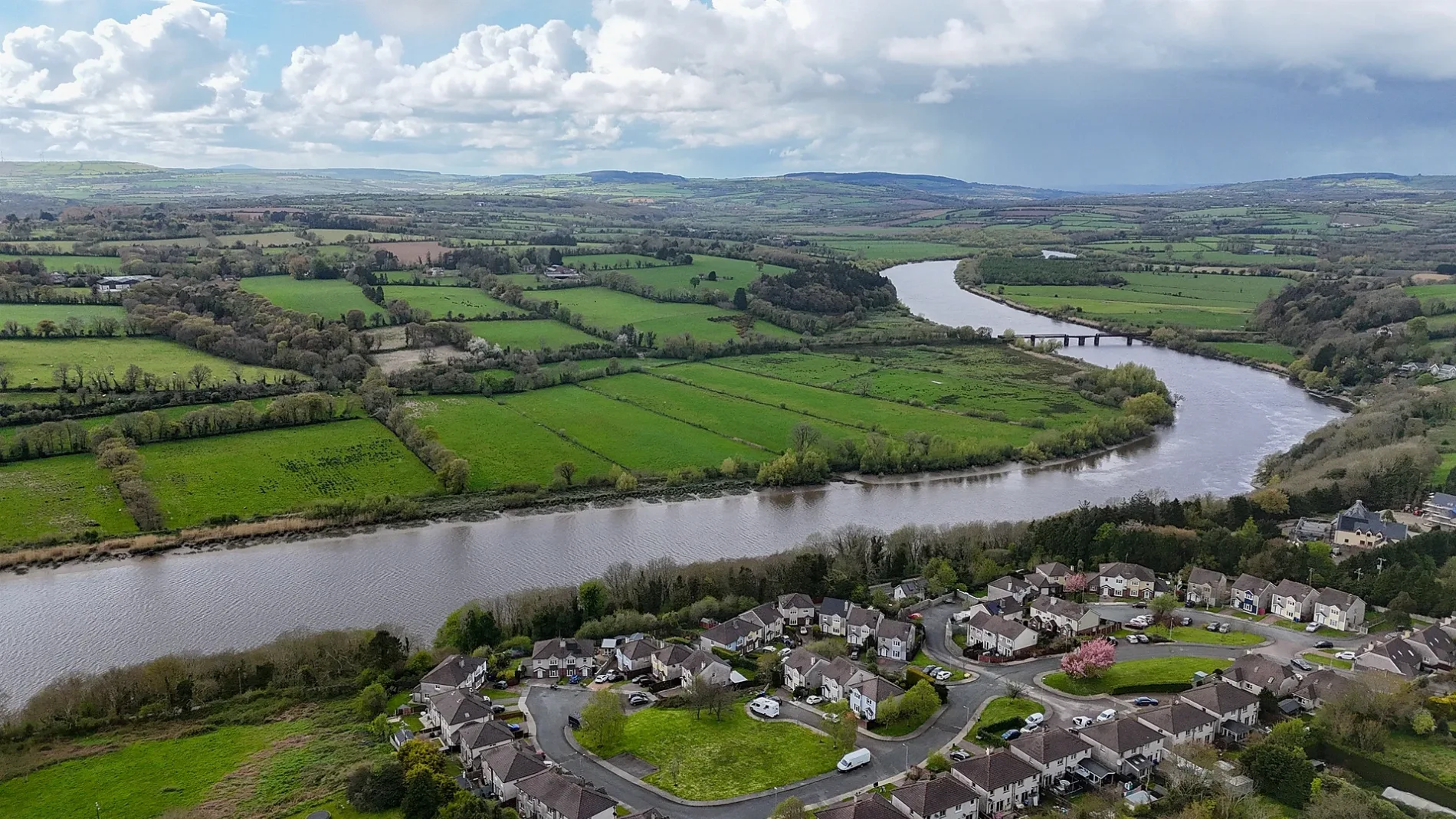
- Waterway Type
- river
Beauty salons
Pubs
Tourist information offices
Dentist
Hairdressers
Library
Bookshops
Bus stops
Bank
Colleges
Benches
Platforms
Museum
- Shackleton Museum and Athy Heritage Centre (fee required, web) at Emily Square – approx. 150 m.
Travel agencies
Cafés
Jewellers
Pharmacy
Fast food restaurants
Department stores
Electronics shops
Variety stores
Roads nearby
Back Square100 m
Priory CourtThe Beauty Spot
150 m
Crom-a-Boo Bridge150 m
Convent LaneAthy Public Library, Gone Fishing
150 m
Edmund Rice SquareVerona, Val's Pet Supplies, Crom A Boo Cabs, Insomnia
150 m
Barrow QuayHouse 41, Barrow Quay, ATA College
150 m
Leinster StreetAnn’s Place, Castle Inn, Square coffee bar, Athy Autoparts, McEvoy’s, New Moon Tandoori, New World Chinese Take-Away, Orlik Aga Polish Food, Apache Pizza, Perry's Supermarket, Doyle's Pharmacy, The Nag’s Head, Dooley’s, Clancy’s, Brereton’s, Brian Smith, Hyland Brothers, 29 Urban Corner, McCabe's Pharmacy, Bradbury's, House of L.A., BoyleSports, Grab & Go, Glamour, Athy, Winkle's, The Card and Party Shop, The Good Burger, KW Opticians, Athy (Leinster Street), River Barrow and Fish
150 m
Emily RowPolari Travel, King Fireplaces, Ernest Shackleton
150 m
Butler's Lane200 m
Offaly Street200 m
Janeville200 m
Stanhope StreetPeony Inn, The Bay Tree, Sam Sunderland, Infinity Cycles
200 m
Garter LaneBarróg Jiu-jitsu, The C.I. Bar
200 m
Stanhope Mews200 m
Duke StreetHomesavers, Griffin Hawe Ltd, Montó, Athy Post Office, Gillen Jewellers, AIB, Athy (Duke Street), League Barbers, Dealz, Shaw's, The Duke, Lyons Bookshop, Mani in Pasta, Moore's Pharmacy, Euronics
250 m
Ricklian PlaceCampbell Glass and Windows
250 m
Saint John's Lane250 m
Meeting LaneAthy Youth Café, Eastern Europe Food supermarket
300 m
Stanhope Place300 m
Chapel LaneMama Mia, Carry Out
300 m
Mount Hawkins400 m
Convent Garden Apartments450 m
Amenities nearby
Shining Stars Childcare250 m
Apartment buildings nearby
Castlefield250 m
Brownfields nearby
Abbeylands200 m
Buildings nearby
Bake150 m
White Castle150 m
Scout den250 m
Foods4u300 m
Cemeteries nearby
Saint John's Graveyard200 m
Community centres nearby
Athy Church of Ireland Centre200 m
Constructions nearby
Emily SquareNgai's Restaurant, Bank of Ireland, O’Brien’s, Shackleton Museum and Athy Heritage Centre, J. Anderson, Town Café, The Dental Suite, Royal Garden
150 m
Courthouses nearby
Athy Courthouse100 m
Fitness centres nearby
K Leisure Athy400 m
Hotels nearby
The Abbey350 m
Industrial buildings nearby
Pumping Station550 m
Museum nearby
Town Hall150 m
Office buildings nearby
Shackleton Museum Office100 m
Pet shops nearby
Miran's Pet and Grooming200 m
Places of worship nearby
Saint Michael's Church of Ireland250 m
Saint Michael's Church300 m
Public buildings nearby
Kildare County Council400 m
Recreation grounds nearby
5th Kildare Athy Scouts300 m
Residential areas nearby
Preston GatePreston Gate, The Music Stand
200 m
Beech Grove250 m
Saint Joseph's Terrace Lower400 m
Sports pitches nearby
Athy Skate Park300 m
Streams nearby
Moneen River350 m
Supermarkets nearby
SuperValu300 m
| Length | 192 |
|---|---|
| Country | Ireland |
| Mouth | Suir |
| Tributary | River Nore, Gowran River, Figile River, Finnery River, Burren River, Owenass River |
| Native label | An Bhearú |
| Described by source | Brockhaus and Efron Encyclopedic Dictionary, The Nuttall Encyclopædia, Encyclopædia Britannica 11th edition, Down Survey |
 Public transport map Athy Legend
| Railway | |
| Bus | |
| Tram |
 Cycling map Athy Legend
| Cycle path | |
| Cycle lane on road | |
| Cycling on bus lane | |
| Bicycle street | |
| Cyclists allowed | |
| Cyclists allowed, good surface | |
| No cycling | |
| Cobblestones |
| Long-distance cycle route | (depending on scale) | |
| Long-distance cycle route |
 Walking map Athy Legend
| Path |
| Long-distance hiking trail | (depending on scale) | |
| Long-distance hiking trail | ||
| No pedestrians |