
Erne in Farranseer
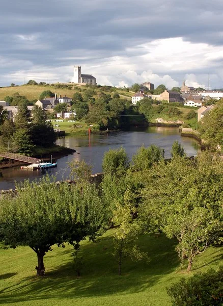
Erne in Farranseer in Ballyjamesduff Municipal District is a river. Erne also exists in Cloggy, Drummora Great, Drummora Little and Slanore. Ⓦ.
- Waterway Type
- river
Roads nearby
Farranseer Lane600 m
Cloggy Road1000 m
Drumcrow Lane1000 m
Cornafean Clapper Bridge1,2 km
Cornafean RoadCornafean
1,2 km
Cloggy Bridge1,2 km
Arvagh Road1,4 km
Kiltrasna Road1,6 km
Cornafean GFC running track1,7 km
Shancor Lane1,8 km
Drumrockady RoadDrumcoghill Upper
1,8 km
Drumora Road2,0 km
Drumcrow Road2,0 km
Killashandra Road2,1 km
Lismore Demesne2,2 km
Lismore View2,2 km
Drumcarban Road2,2 km
Abandoned railways nearby
MGWR Killeshandra Branch800 m
Body of waters nearby
Drumcrow Lough400 m
Cornafean Lough500 m
Lough Mentis950 m
Black Lough1,6 km
Buildings nearby
Cornafean Community Centre1,8 km
Farmyards nearby
Bogue Dairy Farm2,1 km
Forests nearby
White Lough Forest1,4 km
Legaweel Forest2,3 km
Golf courses nearby
Cornafean Pitch and Putt1,4 km
Houses nearby
Farranseer House950 m
Cloggy House1,3 km
Drumcarban1,6 km
Drummora Cottage1,8 km
Legaland1,9 km
Industrial areas nearby
Felix Gormley Used Metal Disposals2,2 km
Meadows nearby
Red Island2,3 km
Residential areas nearby
Riverside Park2,3 km
Retail buildings nearby
MacSeains1,2 km
Rivers nearby
Ballinagh2,2 km
Sports centres nearby
Cornafean GFC1,5 km
Sports pitches nearby
Páirc Naomh Fionnán1,6 km
Streams nearby
Farranseer400 m
Slanore1,1 km
Behy1,3 km
Shancor1,9 km
Wetlands nearby
Cloggy Wetland1,3 km
Drumcrow Wetland1,4 km
Legaweel2,4 km
Woodlands nearby
Annagh Wood950 m
Newtown Bog Woodland1,5 km
Drummora Great Wood1,7 km
| Length | 116 |
|---|---|
| Country | United Kingdom, Ireland |
| Mouth | Atlantic Ocean |
| Tributary | River Annalee |
| Native label | An Éirne |
| Described by source | Granat Encyclopedic Dictionary, Encyclopædia Britannica 11th edition |
Public transport map Farranseer Legend
| Railway | |
| Bus | |
| Tram |
Cycling map Farranseer Legend
| Cycle path | |
| Cycle lane on road | |
| Cycling on bus lane | |
| Bicycle street | |
| Cyclists allowed | |
| Cyclists allowed, good surface | |
| No cycling | |
| Cobblestones |
| Long-distance cycle route | (depending on scale) | |
| Long-distance cycle route |
Walking map Farranseer Legend
| Path |
| Long-distance hiking trail | (depending on scale) | |
| Long-distance hiking trail | ||
| No pedestrians |