
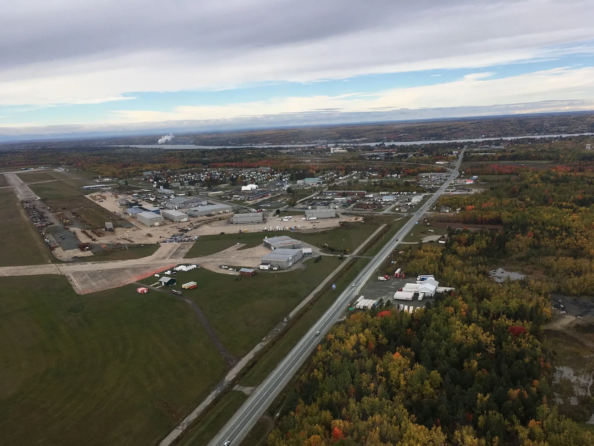
Route 11 in Napan, Greater Miramichi Rural District, New Brunswick
Route 11 in Greater Miramichi Rural District is a two-lane expressway (80 km/h). It runs in a southeast-northwest direction and crosses North Napan Road, South Napan Road, Weldfield-Collette Road, MacDonald Road, Edgar Street, Tofino Street, Bay du Vin Road and Route 440. It ends in a cul-de-sac and connects Napan, St. Margarets, Glenwood and Redmondville. This road is part of the long-distance road "11". Route 11 also exists in City of Miramichi and Municipalité d'Alnwick.
- Road Type
- expressway
- Lanes
- 2
- Speed Limit
- 80
- Route
- southeast-northwest
Image
Petrol stations
Roads nearby
Marville Street1,0 km
Route 11Tim Hortons, Petro-Canada, Subway, Irving, Maritime Bus Miramichi
1,2 km
Torbay Street1,3 km
Pollard Boulevard1,3 km
Thorneycroft Street1,3 km
Schlumberger Drive1,3 km
Searle Road1,4 km
Gimli Street1,4 km
McDonald Street1,4 km
Timmerman Street1,4 km
Perimeter Road1,5 km
Maher StreetCurtis Park, Irving Circle-K
1,5 km
Cole Crescent1,5 km
Ottawa Crescent1,6 km
Hannah Hill Road1,6 km
South Napan RoadCentre Napan, Napan Elementary School
1,6 km
Toronto Drive1,6 km
Vancouver Crescent1,7 km
Winnipeg Crescent1,8 km
Airforce Crescent1,8 km
Edmonton Crescent1,8 km
General Manson Way1,9 km
PLC Lane2,0 km
Crosby Crescent2,0 km
Johnsons Bridge Road2,0 km
Weldfield-Collette Road2,1 km
Springvale Avenue2,1 km
Halifax Street2,2 km
King StreetChatham
2,2 km
Quebec Street2,2 km
Walsh AvenueSky Tec Satellite
2,3 km
Ironmen Road2,3 km
Chapel Road2,3 km
Bramalea Avenue2,3 km
Old Station Road2,4 km
North Napan RoadShell
2,4 km
Gordon Road2,4 km
Sullivan Court2,5 km
Manuel Court2,5 km
Henderson Street2,5 km
University Avenue2,6 km
Maplegrove Court2,6 km
Vanstone Avenue2,8 km
Heritage Road2,8 km
Victoria Avenue2,9 km
Hostel nearby
The Officers Quarters Hostel1,5 km
Sports centres nearby
Lord Beaverbrook Arena2,3 km
Streams nearby
Black Brook1,9 km
Napan River2,1 km
Gallows Brook2,1 km
 Public transport map Napan Legend
| Railway | |
| Bus | |
| Tram |
 Cycling map Napan Legend
| Cycle path | |
| Cycle lane on road | |
| Cycling on bus lane | |
| Bicycle street | |
| Cyclists allowed | |
| Cyclists allowed, good surface | |
| No cycling | |
| Cobblestones |
| Long-distance cycle route | (depending on scale) | |
| Long-distance cycle route |
 Walking map Napan Legend
| Path |
| Long-distance hiking trail | (depending on scale) | |
| Long-distance hiking trail | ||
| No pedestrians |