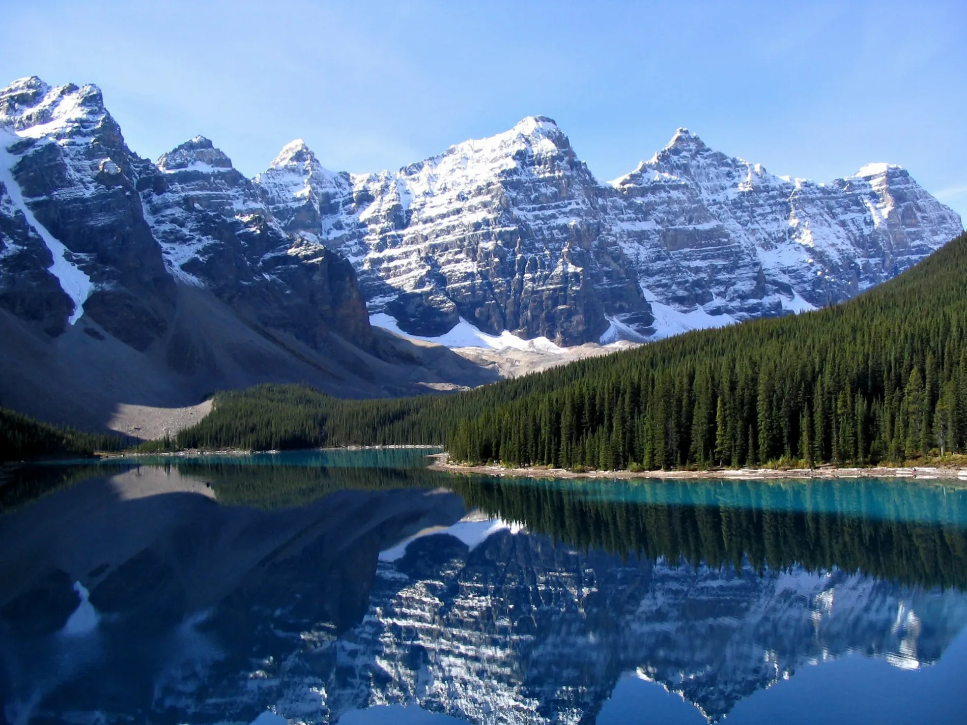
Canada

This City map of Canada shows the country’s streets, paths and places across an area of approximately 9,984,670 square kilometres. Canada is a North American country bordered by the Atlantic Ocean to the east and the Pacific Ocean to the west, with a population of about 36,991,981 recorded in 2021. The country consists of 10 provinces and 3 territories, including Québec, Ontario, Nunavut and Manitoba. Canada was founded as a federation in 1867, and its registration code is CDN.

City map Canada
NASA, Public domain – Wikimedia Commons
City map Québec
Danalieth, CC BY-SA 4.0 – Wikimedia Commons

Québec

Québec is a Canadian province with an area of approximately 1,542,056 square kilometres and a population of 8,501,833. Its capital is Québec City on the Saint Lawrence River, while Montréal is the province’s largest city. The province includes the Laurentian Mountains, the Gaspé Peninsula and the northern shores of Hudson Bay.

Québec entered the Canadian Confederation in 1867. The name Canada is associated with Stadacona, a 16th-century Iroquoian village near present-day Québec City, and Québec preserves major French-speaking cultural institutions such as the historic district of Old Québec.
City map Ontario
Original uploader was Ptrbnsn at en.wikipedia, CC BY-SA 3.0 – Wikimedia Commons

Ontario

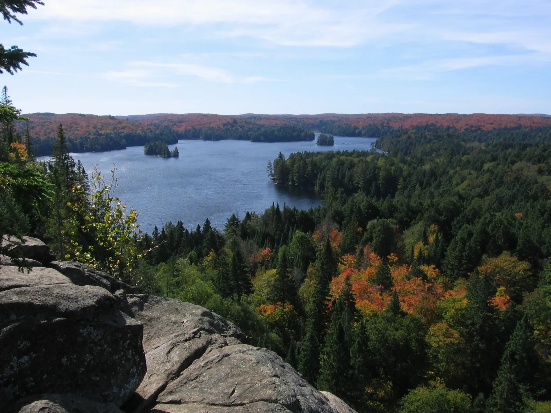
Ontario is a province covering approximately 1,076,395 square kilometres and containing 14,223,942 inhabitants. Toronto, on Lake Ontario, is the provincial capital and Canada’s largest city, while Ottawa on the Ottawa River is the national capital. The province also includes the northern shore of Lake Superior and the Niagara River.

Ontario joined Confederation in 1867. Niagara Falls lies on the border with the United States, and the Great Lakes—Superior, Huron, Erie and Ontario—shape the province’s southern geography and major urban corridor.

City map New Brunswick / Nouveau-Brunswick
User:Magicpiano, CC BY-SA 4.0 – Wikimedia Commons

New Brunswick / Nouveau-Brunswick

New Brunswick is a bilingual Canadian province with an area of approximately 72,908 square kilometres and a population of 775,610. Fredericton on the Saint John River is the provincial capital, while Moncton and Saint John are major urban centres. The province borders the Bay of Fundy, the Gulf of Saint Lawrence and the Northumberland Strait.

New Brunswick became one of the founding provinces of Canada in 1867. The Bay of Fundy is known for some of the highest tidal ranges in the world, and Fundy National Park lies between the coastal communities of Alma and St. Martins.

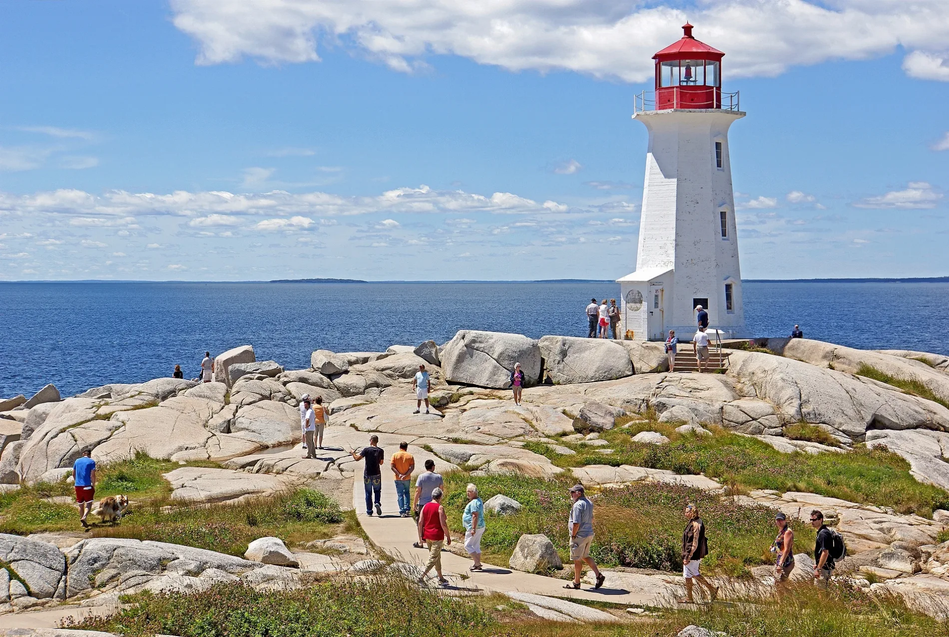
City map Nova Scotia
Dennis G. Jarvis, CC BY-SA 2.0 – Wikimedia Commons

Nova Scotia

Nova Scotia is a maritime province covering approximately 55,283 square kilometres and recording a population of 969,383. Halifax, located on one of the world’s large natural harbours, is the provincial capital and largest city. The province consists of the Nova Scotia peninsula and Cape Breton Island, separated by the Strait of Canso.

Nova Scotia entered Confederation in 1867. The Cabot Trail follows the coast and highlands of Cape Breton Island, while the Bay of Fundy borders the province to the west and the Atlantic Ocean borders its eastern and southern coasts.

City map ᓄᓇᕗᑦ Nunavut
Ansgar Walk, CC BY-SA 2.5 – Wikimedia Commons

ᓄᓇᕗᑦ Nunavut

Nunavut is a Canadian territory covering approximately 2,038,722 square kilometres, making it the largest subnational unit in Canada by area. It had a population of 36,858, and its capital is Iqaluit on southern Baffin Island. The territory includes Baffin Island, Ellesmere Island, Southampton Island and extensive Arctic mainland regions.

Nunavut was established as a separate territory in 1999. Its landscape includes the Arctic Archipelago, Lancaster Sound and parts of the Northwest Passage, while Inuit culture and Inuktitut are central to the territory’s public life.

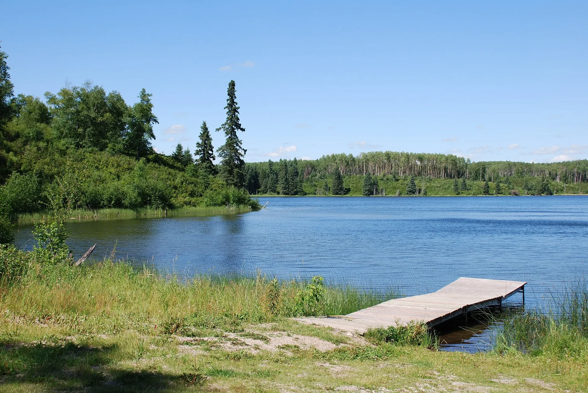
City map Manitoba
Norm Andreiw, CC BY 3.0 – Wikimedia Commons

Manitoba

Manitoba is a Canadian province with an area of approximately 647,797 square kilometres and a population of 1,342,153. Winnipeg, located near the junction of the Red and Assiniboine rivers, is the provincial capital and largest city. The province extends from the agricultural prairie around Winnipeg to Hudson Bay in the north.

Manitoba entered Confederation in 1870. Lake Winnipeg is one of the largest freshwater lakes in Canada, and Churchill on Hudson Bay is known for its location near the annual migration area of polar bears.

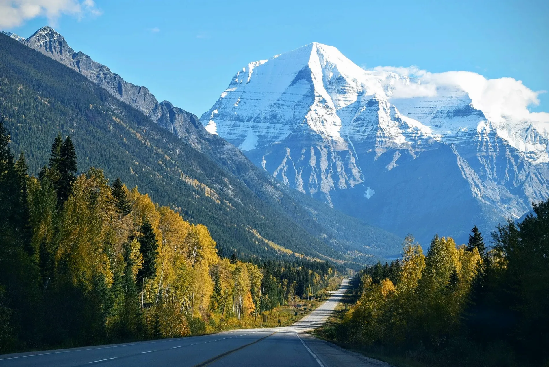
City map British Columbia
Tim Gouw punttim, CC0 – Wikimedia Commons

British Columbia

British Columbia covers approximately 944,735 square kilometres and has a population of 5,000,879. Victoria on Vancouver Island is the provincial capital, while Vancouver on the Strait of Georgia is the largest city. The province includes the Coast Mountains, the Columbia Mountains and the Fraser River basin.

British Columbia joined Canada in 1871. The Pacific coast contains fjords and islands, and the Rocky Mountains form the province’s eastern boundary; Yoho, Glacier and Kootenay national parks lie along this mountain region.

City map Prince Edward Island
Charles Hoffman, CC BY-SA 2.0 – Wikimedia Commons

Prince Edward Island

Prince Edward Island is Canada’s smallest province, with an area of approximately 5,620 square kilometres and a population of 152,784. Charlottetown, on the island’s southern coast, is the provincial capital and largest city. The island lies in the Gulf of Saint Lawrence and is connected to New Brunswick by the Confederation Bridge.

Prince Edward Island entered Confederation in 1873, although the province’s recorded inception is 1769. Red soil, sandstone cliffs and coastal dunes are characteristic features, and Prince Edward Island National Park extends along the northern shore near Cavendish.

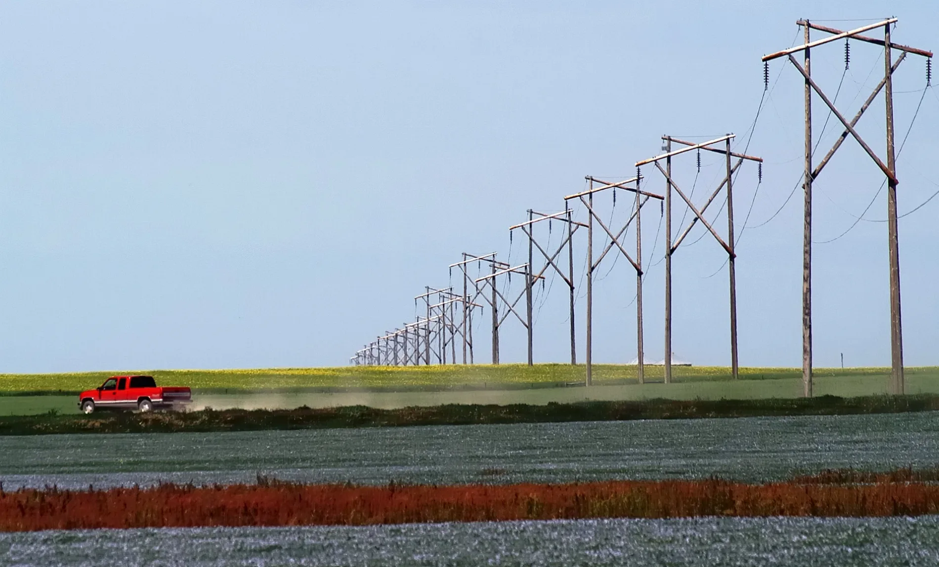
City map Saskatchewan
Saffron Blaze, CC BY-SA 3.0 – Wikimedia Commons

Saskatchewan

Saskatchewan is a prairie province covering approximately 651,900 square kilometres and containing 1,132,505 inhabitants. Regina is the provincial capital, while Saskatoon on the South Saskatchewan River is the largest city. The province extends from the agricultural grasslands in the south to the boreal forest around Lake Athabasca in the north.

Saskatchewan became a province in 1905. The South Saskatchewan River and North Saskatchewan River meet near Prince Albert, and Grasslands National Park protects mixed-grass prairie in the southwestern part of the province.

City map Alberta
Gorgo, Public domain – Wikimedia Commons

Alberta

Alberta covers approximately 661,848 square kilometres and has a population of 4,262,635. Edmonton on the North Saskatchewan River is the provincial capital, while Calgary near the Bow and Elbow rivers is the largest city. The province extends from the Rocky Mountains in the west across foothills and prairie to the Saskatchewan border.

Alberta entered Confederation in 1905. Banff and Jasper national parks lie in the Canadian Rockies, and the Columbia Icefield on the Alberta–British Columbia boundary feeds glaciers and rivers including the Athabasca River.

City map Newfoundland and Labrador
Tango7174, CC BY-SA 4.0 – Wikimedia Commons

Newfoundland and Labrador

Newfoundland and Labrador is an Atlantic province covering approximately 405,212 square kilometres and recording a population of 510,550. St. John’s on the eastern coast of the island of Newfoundland is the provincial capital and largest city. The province includes the island of Newfoundland and the mainland region of Labrador, separated by the Strait of Belle Isle from Québec.

Newfoundland and Labrador joined Canada in 1949. Gros Morne National Park on western Newfoundland is a UNESCO World Heritage Site, and the Labrador coast faces the Labrador Sea while the island’s western shore borders the Gulf of Saint Lawrence.

City map Northwest Territories
Paul Gierszewski, Public domain – Wikimedia Commons

Northwest Territories

The Northwest Territories cover approximately 1,346,106 square kilometres and have a population of 41,070. Yellowknife on the northern shore of Great Slave Lake is the territorial capital and largest community. The territory extends from the Mackenzie Mountains to the Arctic Ocean and includes the Mackenzie River, Canada’s longest river system.

The Northwest Territories were established as a distinct Canadian territory in 1870. Great Bear Lake and Great Slave Lake are major geographic features, and Nahanni National Park Reserve protects the South Nahanni River and Virginia Falls in the western part of the territory.

City map Yukon
Daniel Case, CC BY-SA 3.0 – Wikimedia Commons

Yukon

Yukon is a Canadian territory covering approximately 482,443 square kilometres and recording a population of 40,232. Whitehorse on the Yukon River is the territorial capital and largest community. The territory borders Alaska to the west, British Columbia to the south and the Northwest Territories to the east.

Yukon became a separate territory in 1898 during the Klondike Gold Rush. Kluane National Park and Reserve contains Mount Logan, Canada’s highest mountain at 5,959 metres, while the Yukon River flows westward through Whitehorse toward Alaska.

Data sources: OpenStreetMap (ODbL), Wikidata (CC0) · Image: Wikimedia Commons

Canada – Facts

Inhabitants 36991981
Area 9984670 km²
Subregions 14
Named after Stadacona
Inception 1867
Elevation 487 m
Country Canada
Body of water Atlantic Ocean, Pacific Ocean, Arctic Ocean, Great Lakes, Hudson Bay
Native label Canada
Official name Canada
Significant event Canadian Confederation, Rupert's Land and North-Western Territory Order, British Columbia Terms of Union, Prince Edward Island Terms of Union, Adjacent Territories Order, Statute of Westminster 1931, Newfoundland Act 1949, Patriation
Described by source Jewish Encyclopedia of Brockhaus and Efron, Small Brockhaus and Efron Encyclopedic Dictionary, Sytin Military Encyclopedia, Brockhaus and Efron Encyclopedic Dictionary, The Nuttall Encyclopædia, Encyclopædia Britannica 11th edition, New World Encyclopedia, The American Cyclopædia, The New Student's Reference Work, Granat Encyclopedic Dictionary, Meyer’s Universum, Fünfter Band, New International Encyclopedia
Part of North America
Website https://www.canada.ca

Data source: Wikidata (CC0)

Roads in Canada