
Missinaibi River in Unorganized North Cochrane District
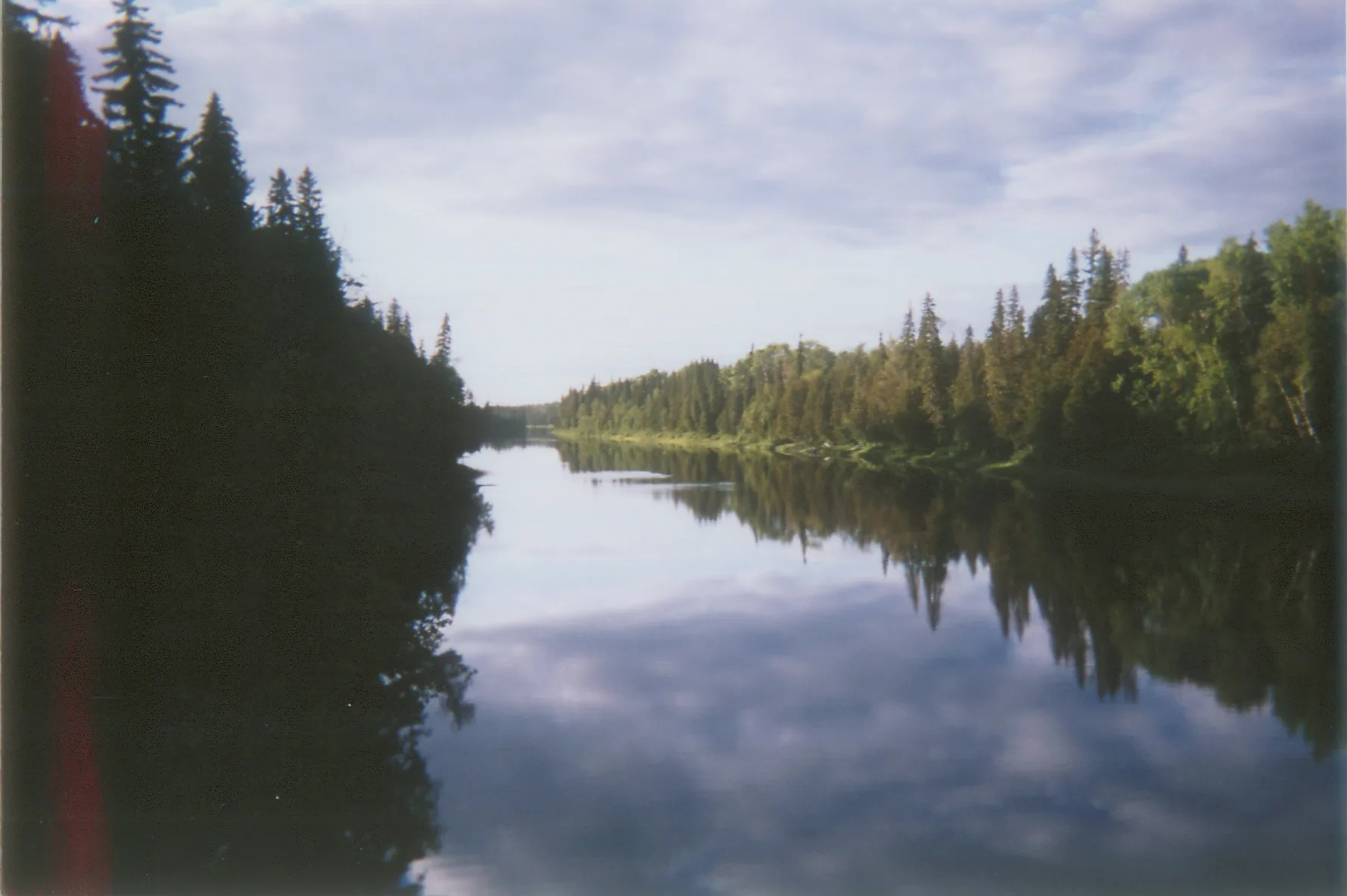
Missinaibi River in Unorganized North Cochrane is a river. Missinaibi River also exists in Algoma District. Ⓦ.
- Waterway Type
- river
Image
Shelter
Tourist information offices
Restaurants
Attraction
Stops
Platforms
Roads nearby
Devil Shoepack Portage1,6 km
Ecclestone Road1,6 km
Devil Cap Portage2,7 km
Pond Portage3,3 km
Csr 5 Rykert3,8 km
Staunton Road5,1 km
Csr 9 Abbott6,9 km
Csr 3A Caithness7,5 km
Csr 3 Abbott8,1 km
Csr 4 Abbott8,3 km
Csr 4 Rykert8,4 km
Csr 3 Magladery8,5 km
Body of waters nearby
Rykert Creek8,8 km
Rapidses nearby
Devil Rapids950 m
Streams nearby
Magladery Creek7,6 km
Bailey Creek7,8 km
Buchanan Creek9,0 km
Waterfalls nearby
Devil Shoepack Falls1,9 km
Devil Cap Falls2,8 km
Pond Falls3,3 km
Two Portages Falls6,4 km
| Length | 426 |
|---|---|
| Located in | Cochrane District, Algoma District, Ontario |
| Country | Canada |
| Mouth | Moose River |
 Public transport map Unorganized North Cochrane Legend
| Railway | |
| Bus | |
| Tram |
 Cycling map Unorganized North Cochrane Legend
| Cycle path | |
| Cycle lane on road | |
| Cycling on bus lane | |
| Bicycle street | |
| Cyclists allowed | |
| Cyclists allowed, good surface | |
| No cycling | |
| Cobblestones |
| Long-distance cycle route | (depending on scale) | |
| Long-distance cycle route |
 Walking map Unorganized North Cochrane Legend
| Path |
| Long-distance hiking trail | (depending on scale) | |
| Long-distance hiking trail | ||
| No pedestrians |