
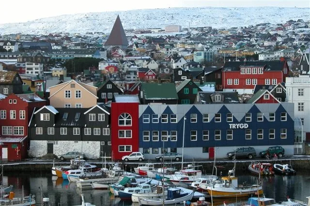
Vaktarhúsbrekka in Tórshavn
Vaktarhúsbrekka in Streymoyar sýsla is a residential street and runs in a northeast-southwest direction and ends at Djóna í Geil gøta, while the other end is a cul-de-sac.
- Road Type
- residential street
- Route
- northeast-southwest
Image
Tourist information offices
Taxi ranks
Stations
Restaurants
Clothing shops
Hotels
Cafés
Roads nearby
Djóna í Geil gøta50 m
Jekaragøta100 m
Hellutún100 m
Heimaratún150 m
Rættartún150 m
Vallaratún150 m
Bókbindaragøta150 m
Krossgøta150 m
Miðtún150 m
Geilartún150 m
Jóan Karls gøta150 m
Í Lon150 m
Lítlatrøð150 m
Vaktarhúsgøta150 m
HavnargøtaBob and Marilyn's Suitcase, Angus Steakhouse
200 m
Handaratún200 m
Trapputún200 m
Abbatrøð200 m
Frúutrøð200 m
Skansavegur200 m
Eysturstræti200 m
Langatún200 m
Jónas Broncks gøtaFrúutrøð, Seven
250 m
Klokkaragøta250 m
Lavagøta250 m
M.A. Winthers gøta250 m
J.H. Schrøters gøta250 m
Vørðslan250 m
Kákagøta300 m
Lützenstrøð300 m
Eystara BryggjaSkansin, Farstøðin, Taxi 323232
300 m
Sólteigur300 m
Undir Ryggi300 m
Dalatrøð300 m
Erlings jals gøta300 m
Tildugøta350 m
HoyvíksvegurÓðinshædd, Føroyaprent, Mannaskarð, Hoyvíksvegur, Bónus
350 m
Bergsvegur400 m
A.C. Evensens gøta400 m
Amenities nearby
Farstøðin250 m
Banks nearby
Betri150 m
Buildings nearby
Starvsfelagið200 m
Smæran250 m
Smyril Blue Water300 m
Sethúsini400 m
Skansapakkhúsið400 m
Sjó- og Vektarbúðin400 m
Grass nearby
Skansin250 m
Hotels nearby
Hotel Djurhuus150 m
Public transport map Tórshavn Legend
| Railway | |
| Bus | |
| Tram |
Cycling map Tórshavn Legend
| Cycle path | |
| Cycle lane on road | |
| Cycling on bus lane | |
| Bicycle street | |
| Cyclists allowed | |
| Cyclists allowed, good surface | |
| No cycling | |
| Cobblestones |
| Long-distance cycle route | (depending on scale) | |
| Long-distance cycle route |
Walking map Tórshavn Legend
| Path |
| Long-distance hiking trail | (depending on scale) | |
| Long-distance hiking trail | ||
| No pedestrians |