Rhône

This page is the City map of Rhône in the Auvergne-Rhône-Alpes region of France, with streets, paths and places shown for the administrative territory. Rhône is divided into two subregions: Métropole de Lyon and the Rhône department. The territory includes Lyon, France’s third-largest city by municipal population, and the Rhône River, which flows through Lyon before continuing south toward the Rhône valley. The map covers an area of approximately 3,249 square kilometres across the metropolitan and departmental administrations.

Plan de la ville Rhône
Wisi eu, CC0 – Wikimedia Commons

Rhône – Faits

Population 1893692
Sous-régions 2
Année de construction 1793
Situé à Auvergne-Rhône-Alpes, Rhône-Alpes, France
Pays France
Nom officiel Rhône
Site web https://www.rhone.gouv.fr/

Source des données: Wikidata (CC0)

Plan de la ville Métropole de Lyon
Otourly, CC BY-SA 3.0 – Wikimedia Commons

Métropole de Lyon

Métropole de Lyon is a French territorial collectivity created in 2015, with the powers of both a metropolis and a département. It has 1,436,354 inhabitants and covers 533.68 square kilometres, including Lyon and municipalities such as Villeurbanne, Vénissieux, Caluire-et-Cuire and Saint-Priest. Lyon stands at the meeting point of the Rhône and Saône rivers, with the historic districts of Vieux Lyon, Fourvière and the Presqu’île forming major urban landmarks.

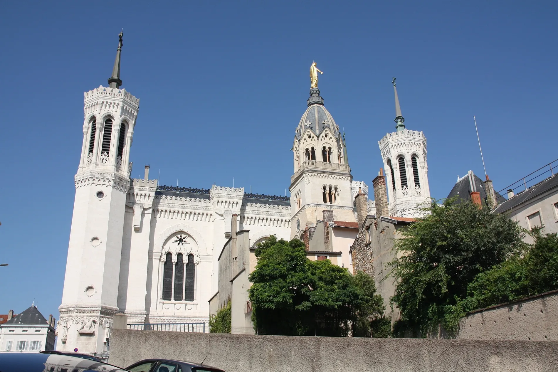
The metropolitan territory includes the Basilica of Notre-Dame de Fourvière and the historic site of Lyon, which is part of the UNESCO World Heritage property. The area also contains large urban centres east of the Rhône, including Villeurbanne, whose Gratte-Ciel district is a notable example of 20th-century urban architecture.

Plan de la ville Rhône
Nouill, CC BY-SA 3.0 – Wikimedia Commons

Rhône

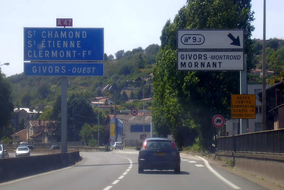
The Rhône is a French department established in 1793, separate from the present Métropole de Lyon since the metropolitan collectivity was created in 2015. It has 451,317 inhabitants and an area of 2,715.11 square kilometres. The department surrounds the metropolitan territory to the north and west and includes towns such as Villefranche-sur-Saône, Tarare, Belleville-en-Beaujolais and Givors.

Its landscapes include the Beaujolais wine region north of Lyon and the Monts du Beaujolais, while the Saône forms part of the eastern departmental boundary near towns such as Belleville-en-Beaujolais. Villefranche-sur-Saône is the departmental administrative centre, and the A6 motorway connects the Rhône department with Lyon to the south and Mâcon to the north.

Sources de données : OpenStreetMap (ODbL), Wikidata (CC0) · Image : Wikimedia Commons