
Town Range in Gibraltar
Town Range in Gibraltar is an asphalted residential street. It runs in a north-south direction starting from Govenor's Street and crosses Library Gardens, George's Lane, Convent Place, Victualling Office Lane and King's Yard Lane and ends at Prince Edward's Road. Town Range is also known as Calle Nueba. In the vicinity, there is a place of worship. The nearest bus stop in the vicinity is Trafalgar Cemetery (approx. 100 m away). Ⓦ.
- Road Type
- residential street
- Route
- north-south
Image
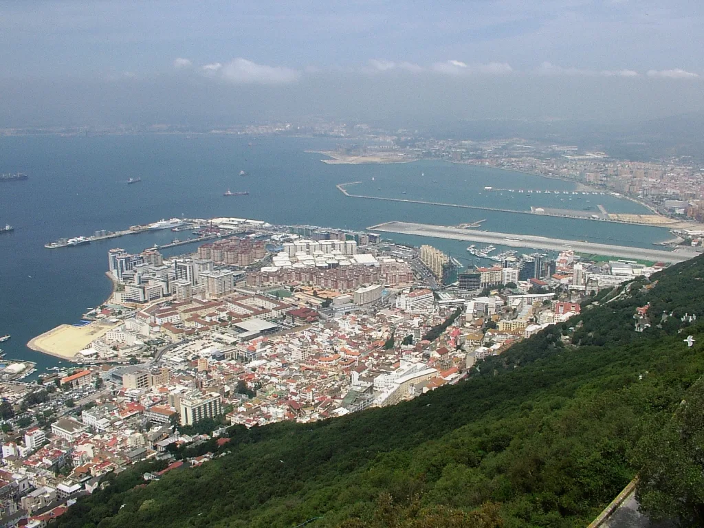
Places of worship
Roads nearby
Prince Edward's RoadPrince edward's gate house, Wilson's Ramp
50 m
Kavanagh's Court50 m
Charles V Ramp100 m
St. Jago's Steps100 m
Morello's Ramp100 m
Booth's Passage22 morellos ramp
100 m
Trafalgar RoadTrafalgar Cemetery, Trafalgar Sports bar, Trafalgar Taxi Rank, Trafalgar Cemetery Top
100 m
Bado's Passage100 m
Hargrave's CourtHargrave Court
100 m
Flat Bastion RoadLower Flat Bastion Road, Morello's Ramp (Astoria), Flat Bastion Road
100 m
King's Yard LaneMoneycorp bank
150 m
Line Wall RoadCathedral Square, Referendum Gates, NatWest, Orange Bastion, King's Bastion, Fish Market Steps, The Mario Finlayson Art Gallery, The Beacon Press, Emile Hostel
150 m
Rosia RoadNew Harbours, Victoria House, 100 Ton Gun, The anchorage, Nelson's view, Piccadilly Garden, BP, Jumper's Building, Bay View Terraces, New Mole Police Station / HQ, New Mole House, Rosia Plaza
150 m
Victualling Office LaneWesley Pharmacy, Vyvov, Capilano House, Vyvov House
150 m
Ragged Staff Magazine200 m
Boyd Street200 m
Gowland's Ramp200 m
Forty Steps200 m
Devil's Gap Footpath200 m
Eliott's WayMama Mia, Eliott's Way
200 m
Ragged Staff RoadHall of Fame
250 m
Baca's Passage250 m
Wilson's Ramp250 m
Europa RoadEuropa Point Café, Rock Hotel, Old Casino, Piscina Rock Hotel, Shorthorn Farm, King George V Ramp, North Gorge, Garrison Gym, Mount Pleasant, Buena Vista, Eliott's Battery, Brympton, Loreto Convent School, 51 A Europa road, Buena Vista Park II, Europa mews, 63 Europa Road, 51 B Europa road
250 m
Gardiner's RoadGardiner's Road, The Magazine Studio Theatre, Gardiners road, Rock Gardens
250 m
Green LaneDevil's Gap Battery, Green Lane Northbound, Green Lane Southbound
300 m
Red Sands RoadCable Car Lower Station, George Don Gates, Governor's Meadow House, Alameda House, Pre-Paid Tickets, Cable Car Tickets, Ross house, Red Sands house, Kingsway house, Alameda house, Picton house, Cable Car Taxi Rank
400 m
Queen's RoadInglis Way, Tovey Battery
450 m
Buildings nearby
Cable Car Lower Station300 m
Apartment buildings nearby
Wesley House200 m
Buildings nearby
Prince Edward's Gate100 m
Environmental Agency100 m
Flat Bastion Magazine150 m
HM Government of Gibraltar200 m
Ragged Staff Gates250 m
Gibraltar Electricity Authority250 m
Bunkers nearby
Flat Bastion100 m
Cemeteries nearby
Trafalgar Cemetery100 m
Fire stations nearby
Gibraltar Fire and Rescue Service350 m
Public buildings nearby
John Mackintosh Hall150 m
Residential buildings nearby
Flat Bastion Mews300 m
School buildings nearby
Gibraltar College150 m
St Mary's First School200 m
Sports pitches nearby
Hargrave's ParadeHargrave Parade
50 m
Swimming pools nearby
Convent Garden200 m
Theatres nearby
Ince's Hall Theatre150 m
Tourist information offices nearby
The Nature Shop400 m
Other nearby
Charles V Wall50 m
South Bastion150 m
Raglan's Battery200 m
| Located in | Gibraltar |
|---|---|
| Country | United Kingdom |
Public transport map Gibraltar Legend
| Railway | |
| Bus | |
| Tram |
Cycling map Gibraltar Legend
| Cycle path | |
| Cycle lane on road | |
| Cycling on bus lane | |
| Bicycle street | |
| Cyclists allowed | |
| Cyclists allowed, good surface | |
| No cycling | |
| Cobblestones |
| Long-distance cycle route | (depending on scale) | |
| Long-distance cycle route |
Walking map Gibraltar Legend
| Path |
| Long-distance hiking trail | (depending on scale) | |
| Long-distance hiking trail | ||
| No pedestrians |