
The Rule Lane in Lezayre
The Rule Lane in Lezayre is a minor road. It runs in a southeast-northwest direction and ends at Sulby Main Road, while the other end is a cul-de-sac. In the vicinity, there is ein Hofladen. The nearest bus stop in the vicinity is Sulby Glen Hotel (approx. 450 m away).
- Road Type
- minor road
- Speed Limit
- none
- Route
- southeast-northwest
Image
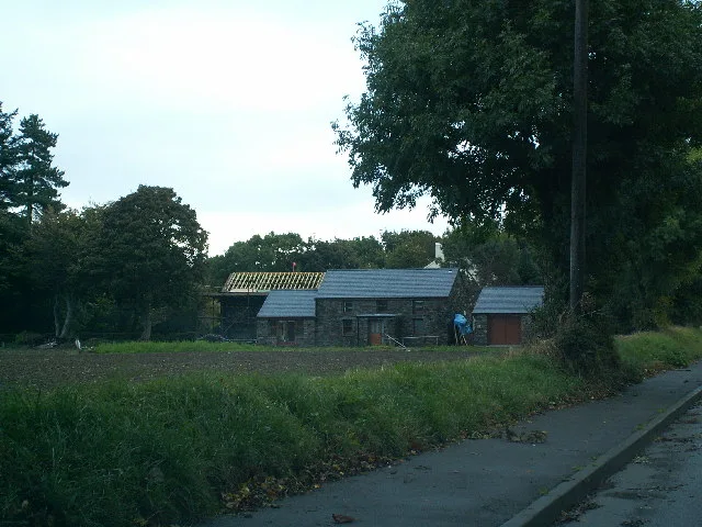
Hofläden
Roads nearby
Clenagh Road450 m
Saint Stephen's Meadow550 m
Sulby Main RoadCaley's, Sulby Village, Sulby, St. Jude's Road, Sulby Village Shelter, Sulby Post Office, Sulby Glen Hotel, Caley's Sulby Stores
650 m
Ballacaley RoadGlendale
650 m
Staward FarmStaward Farm
950 m
Ballabrodie1,1 km
Kella Close1,3 km
Old Sulby RoadEllan Rhennee, Close Moar
1,4 km
Yn Arrey1,4 km
Kella RoadEast Kella, West Kella
1,6 km
Cronk Sumark1,6 km
River Meadow LandSulby Claddagh, Sulby Starch Mill Stones
1,6 km
Sulby Glen RoadSulby School, Bungalow, Killeabraegga Cottage
1,6 km
Carrick ParkThe Ginger Hall, The Ginger Hall Car Park
1,7 km
Bayr Yude Noo1,7 km
Sulby Bridge1,7 km
Ballamanaugh Close1,7 km
Lezayre RoadLezayre, Glentruman, Glentramman, Glen Duff / D.o.I. Depot, Garey Road, Garey Road / Abbey, Silly Moos Campsite, Lezayre War Memorial, Kerrowmoar Chapel, Kerrowmoar, Glen Duff, The Nappin, Abbeyhill
1,9 km
Ballaugh Main RoadBallacrye Corner, Ballacrye Farm, Dub Cottage, Ballacobb, Bishopscourt / Orrisdale Road Junction, Bishopscourt / Orrisdale Road Shelter, Ballacobb Shelter, Hunter's Croft, Ballaugh Village Shelter
2,1 km
Old Windmill RoadWindmill House, Croit-ny-gurrin, White Gables Cottage
2,1 km
Ballacrye Road2,2 km
Dollagh Mooar RoadClose Sartfield
2,3 km
Ballaterson RoadDollaugh Moar
2,4 km
Railways nearby
Orchid Line950 m
Abandoned railways nearby
Manx Northern Railway1,7 km
Bird hides nearby
Bird Observatory1,6 km
Body of waters nearby
Penguins1,1 km
Buildings nearby
Sulby Telephone Exchange450 m
Old Sulby School700 m
The Ark1000 m
Ballamanaugh1,7 km
Cafés nearby
Mangrove Café1,1 km
Campsite nearby
Sulby Claddagh1,2 km
Chalet nearby
Close Taggart Cottages1,7 km
Forests nearby
Ballacuberagh Plantation1,9 km
Ballakerka Plantation2,3 km
Guest house nearby
Ballacowell450 m
Hostel nearby
Lezayre Parish Community Hall500 m
Hotels nearby
The Sulby Glen Hotel500 m
Ginger Hall Hotel1,8 km
Houses nearby
Ballahowin1,6 km
Industrial areas nearby
Clever Marine Services500 m
Nature reserves nearby
The Curragh Nature Reserve1,6 km
Places of worship nearby
Sulby Methodist Church550 m
Saint Stephen Chapelry, Sulby700 m
Rivers nearby
Sulby River1,1 km
Streams nearby
Killane River1,3 km
Zoo nearby
The Curraghs Wildlife Park800 m
Other nearby
Ballamannaugh2,3 km
 Public transport map Lezayre Legend
| Railway | |
| Bus | |
| Tram |
 Cycling map Lezayre Legend
| Cycle path | |
| Cycle lane on road | |
| Cycling on bus lane | |
| Bicycle street | |
| Cyclists allowed | |
| Cyclists allowed, good surface | |
| No cycling | |
| Cobblestones |
| Long-distance cycle route | (depending on scale) | |
| Long-distance cycle route |
 Walking map Lezayre Legend
| Path |
| Long-distance hiking trail | (depending on scale) | |
| Long-distance hiking trail | ||
| No pedestrians |