
Fort Anne Road in Douglas
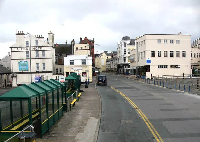
Fort Anne Road in Douglas is a asphalted footpath. This road is part of the bicycle route "1" and the hiking trail "Raad Ny Foillan".
- Road Type
- footpath
Image
Bus stops
Hairdresser's
Public clocks
Tourist information
Post boxes
Newsagent's
Bicycle shops
Restaurants
Café
Viewpoint
Artwork
Ice cream parlours
Fast food restaurants
Roads nearby
Harold Tower150 m
South QuaySwing Bridge, Bridge Road / Harbour Entrance, South Quay / Stone Bridge Junction, Island Tyres & Autocare
150 m
Fort Anne Slipway150 m
Ravens Wharf200 m
Douglas Head Road250 m
Gas Works Steps300 m
Douglas Harbour Lifting Bridge350 m
Battery Pier350 m
Red Pier350 m
Double Corner350 m
North QuaySail Lofts, Hooded Ram, Noa
400 m
Bath PlaceNoa Bakehouse
400 m
Parade Street400 m
Harris Lane450 m
Marine Drive500 m
Land Use nearby
Circus Beach400 m
Shops nearby
Callin & Co. Chartered Accountants200 m
Island Tyres & Autocare200 m
Sadler450 m
Ace Hire500 m
GSF Car Parts500 m
Animal boarding kennels nearby
Comfy K9200 m
Attraction nearby
Marine Drive Old Toll Gate550 m
Body of waters nearby
Douglas Harbour250 m
Buildings nearby
Dohle100 m
The Stables100 m
Douglas Lifeboat Station300 m
Centigrade450 m
Bidvest450 m
Car repair shops nearby
TaylorClarke Automotive Specialists Ltd200 m
Reynolds & Turner Ltd250 m
Goldie's Garage400 m
Carpet shops nearby
Ace Carpets200 m
Commercial areas nearby
Douglas Head Industrial Estate300 m
Houses nearby
The Gate House100 m
Industrial areas nearby
Morris Lubricants250 m
Industrial buildings nearby
Compressed Air Services450 m
Sign and Design Ltd450 m
Party Planet450 m
Brian Connachan Maintenance Ltd450 m
Ash Developments Ltd500 m
Kitchen showrooms nearby
Magnet250 m
Office buildings nearby
Isle of Man Steam Packet Company350 m
Residential areas nearby
Fort William250 m
The Arches300 m
Taubman Terrace350 m
Rivers nearby
River Douglas400 m
Studios nearby
Manx Radio350 m
Theatres nearby
Douglas Head Amphitheatre500 m
 Public transport map Douglas Legend
 | Railway | |
| Bus | |
| Tram |
 Cycling map Douglas Legend
 | Cycle path | |
| Cycle lane on road | |
| Cycling on bus lane | |
| Bicycle street | |
| Cyclists allowed | |
| Cyclists allowed, good surface | |
| No cycling | |
| Cobblestones |
| Long-distance cycle route | (depending on scale) | |
| Long-distance cycle route |
 Walking map Douglas Legend
 | Path |
| Long-distance hiking trail | (depending on scale) | |
| Long-distance hiking trail | ||
| No pedestrians |