
Water Lane in Douglas
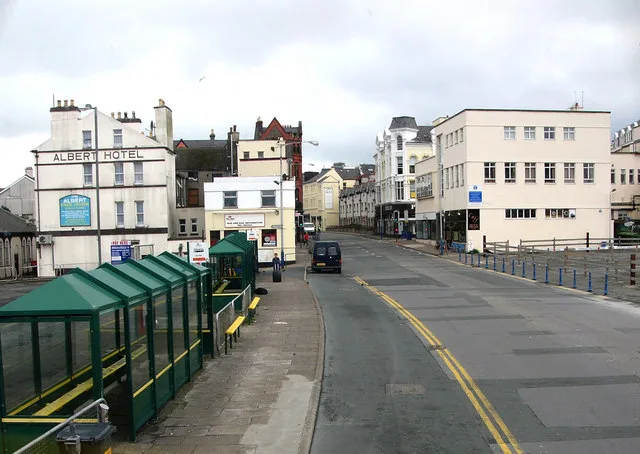
Water Lane in Douglas is a service road. There is a one-way street.
- Road Type
- service road
- Speed Limit
- 30 mph
Image
Hairdresser's
Clothing shops
Dentist
Bank
Café
ATMs
Fast food restaurants
Bus stops
Restaurants
Pub
Roads nearby
Muckles Gate100 m
Cambrian Place100 m
Chapel Row100 m
Chapel Lane100 m
Fort Street150 m
New Bond Street150 m
Harris Lane150 m
Lord StreetMillennium Water Feature, Clinch's House Lord Street, Lord Street, Douglas, Lord Street Bus Station, Lord Street / Salvation Army, Regent Dental, Lord Street, Hanover House
200 m
Parade Street200 m
Victoria StreetVictoria Street, Conister Bank, Lloyds Bank, Tacoma Bar and Kitchen, Victoria Grill, Barclays, The Picnic Basket
250 m
Double Corner250 m
Red Pier250 m
Bath PlaceNoa Bakehouse
250 m
Loch PromenadeJubilee Clock, Regent Street, Loch Promenade, Loch Promenade / Bottleneck Car Park, Douglas Cable Tram Wheel, Snack Shack, Harris Promenade / Gaiety Theatre / The Rendezvous, The Bee Gees, Loch Promenade, Granville Street, Kiki Lounge, Yankees, Ellan Vannin, The Atrium Cafe, La Piazza
250 m
Walpole AvenuePizza Hut Delivery, Gelatory, Drewry's
250 m
Douglas Harbour Lifting Bridge250 m
Gas Works Steps300 m
Sea Terminal300 m
Peveril SquareBikestyle IOM
300 m
Douglas Head Road350 m
Land Use nearby
Circus Beach350 m
Shops nearby
Callin & Co. Chartered Accountants400 m
Bars nearby
The Barbary Coast150 m
Tigh Fitz Irish Bar250 m
Body of waters nearby
Douglas Harbour350 m
Buildings nearby
Unite The Union100 m
The Manx Legion100 m
Former Police Station - Fort Street200 m
Cafés nearby
Aloha100 m
Cafe Laare100 m
Freshly Squeezed150 m
Clothing shops nearby
Adele's Dancewear150 m
Electronics shops nearby
Isle of Gadgets100 m
Fast food restaurants nearby
Peri Peri Chicken Victoria Grill150 m
Furniture shops nearby
Vintage Living150 m
Hairdresser's nearby
House of Holden100 m
Industrial areas nearby
Morris Lubricants300 m
Office buildings nearby
Isle of Man Steam Packet Company300 m
Platforms nearby
Stand A100 m
Stand B100 m
Stand C150 m
Stand D150 m
Stand E150 m
Pubs nearby
The Albert100 m
Nags Head150 m
The Victoria Tavern150 m
Residential areas nearby
The Arches300 m
Fort William350 m
Stations nearby
Isle of Man Sea TerminalIsle of Man Welcome Centre
350 m
Taxi ranks nearby
Telecabs100 m
 Public transport map Douglas Legend
 | Railway | |
| Bus | |
| Tram |
 Cycling map Douglas Legend
 | Cycle path | |
| Cycle lane on road | |
| Cycling on bus lane | |
| Bicycle street | |
| Cyclists allowed | |
| Cyclists allowed, good surface | |
| No cycling | |
| Cobblestones |
| Long-distance cycle route | (depending on scale) | |
| Long-distance cycle route |
 Walking map Douglas Legend
 | Path |
| Long-distance hiking trail | (depending on scale) | |
| Long-distance hiking trail | ||
| No pedestrians |