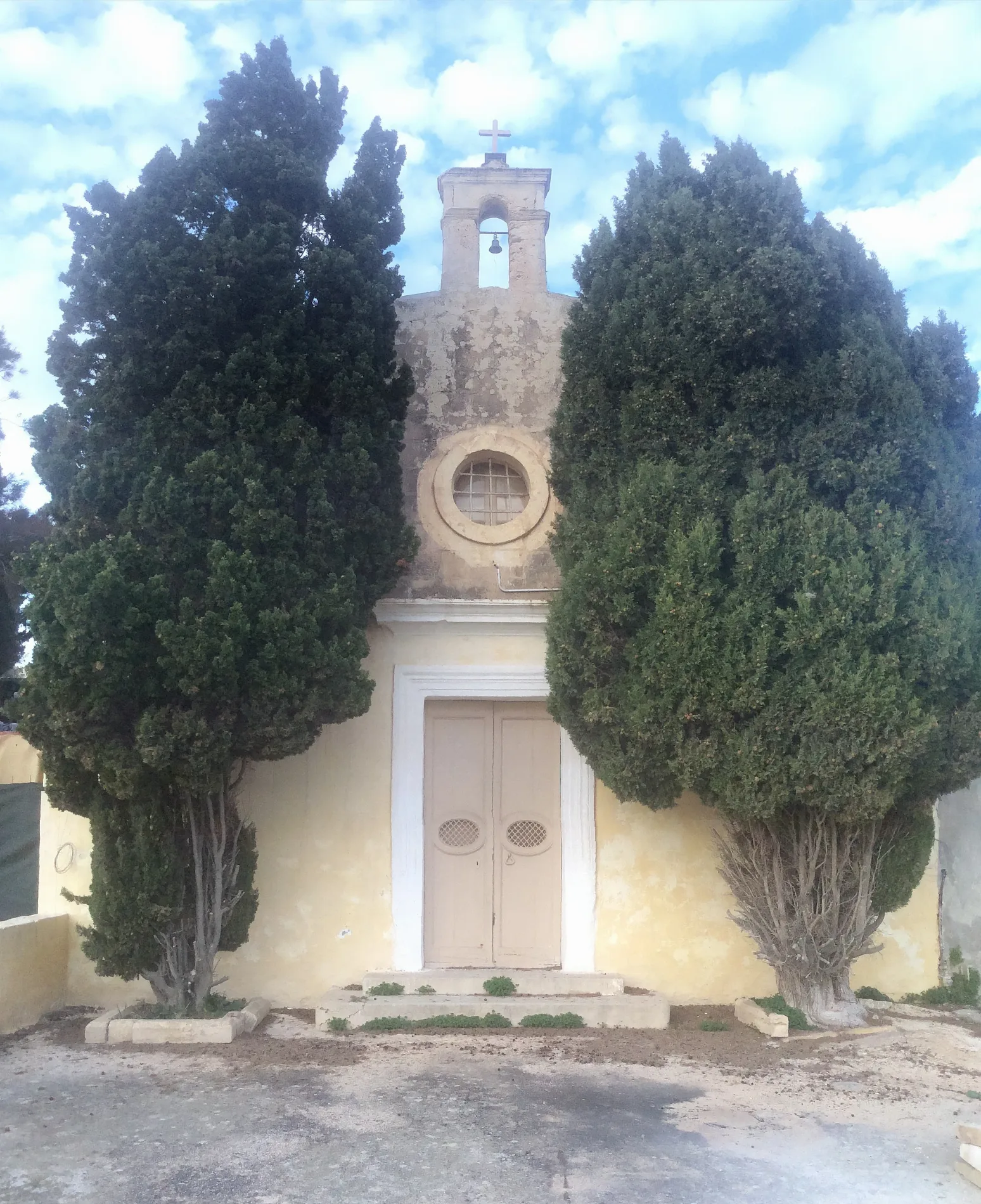
St. Michael Chapel Iklin, Malta – Continentaleurope, CC BY-SA 3.0 – Wikimedia Commons L-Iklin is located in Reġjun tal-Lvant. About 3,130 people live here (as of 2014). Between 2014 and 2024, the population grew from 3,130 to 3,741. The region lies at 112 metres above sea level. Its area extends over around 1.7 square kilometres. L-Iklin has around 133 streets. The region was founded in the year 1954. L-Iklin is village in the centre of Malta. Among other things, L-Iklin has public transport, cafés, clothing stores and hairdressers. For more information, see www.iklin.gov.mt.


 Public transport map L-Iklin Legend
  Cycling map L-Iklin Legend
  Walking map L-Iklin Legend