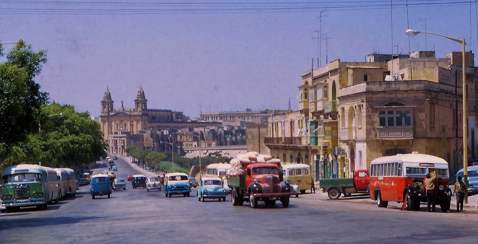
Marsa is located on the western limits if Valletta's Grand Harbour. Back in 1967, the routes and destinations of the eccentric but quaint buses in Malta could be discerned by the colour of their brilliantly coloured livery. e.g. the Red Bus, the Green Bus, the Yellow Bus, the Blue Bus.. Many of these much loved workhorses had stripes. Dominating the skyline is the parish Church of the Holy Trinity. – Brian Harrington Spier from Shanghai, China, CC BY-SA 2.0 – Wikimedia Commons Il-Marsa is located in Reġjun tan-Nofsinhar. Around 5,953 people live here. Between 2014 and 2024, the population grew from 4,401 to 5,953. The region lies at 5 metres above sea level. Its area extends over around 2.8 square kilometres. Il-Marsa has around 296 streets. The postal codes are MRS. The dialling code is 356. Il-Marsa is town in Malta. Among other things, Il-Marsa has public transport, restaurants, cafés, attractions, banks and pharmacies. For more information, see marsalc.gov.mt/en.


 Public transport map Il-Marsa Legend
  Cycling map Il-Marsa Legend
  Walking map Il-Marsa Legend