
Christchurch City
Christchurch City is located in Canterbury. Around 392,100 people live here. Between 2015 and 2019, the population grew from 356,700 to 385,500. The region lies at 78 metres above sea level. Its area extends over around 1,608.6 square kilometres. The region is divided into 7 Municipalities. The dialling code is 03. Christchurch City is territorial authority district of New Zealand.
Christchurch City – Facts
| Inhabitants | 385500 |
|---|---|
| Area | 1608.6 km² |
| Subregions | 7 |
| Elevation | 78 m |
| Located in | Canterbury Region |
| Country | New Zealand |
Data source: Wikidata (CC0)
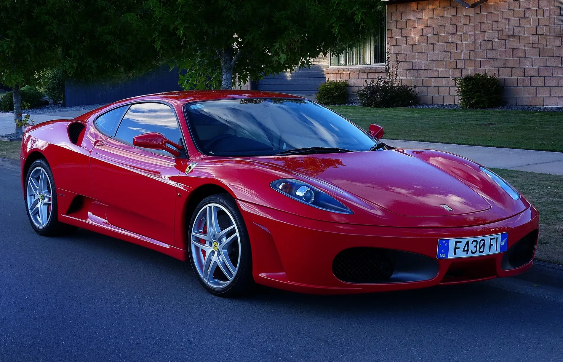
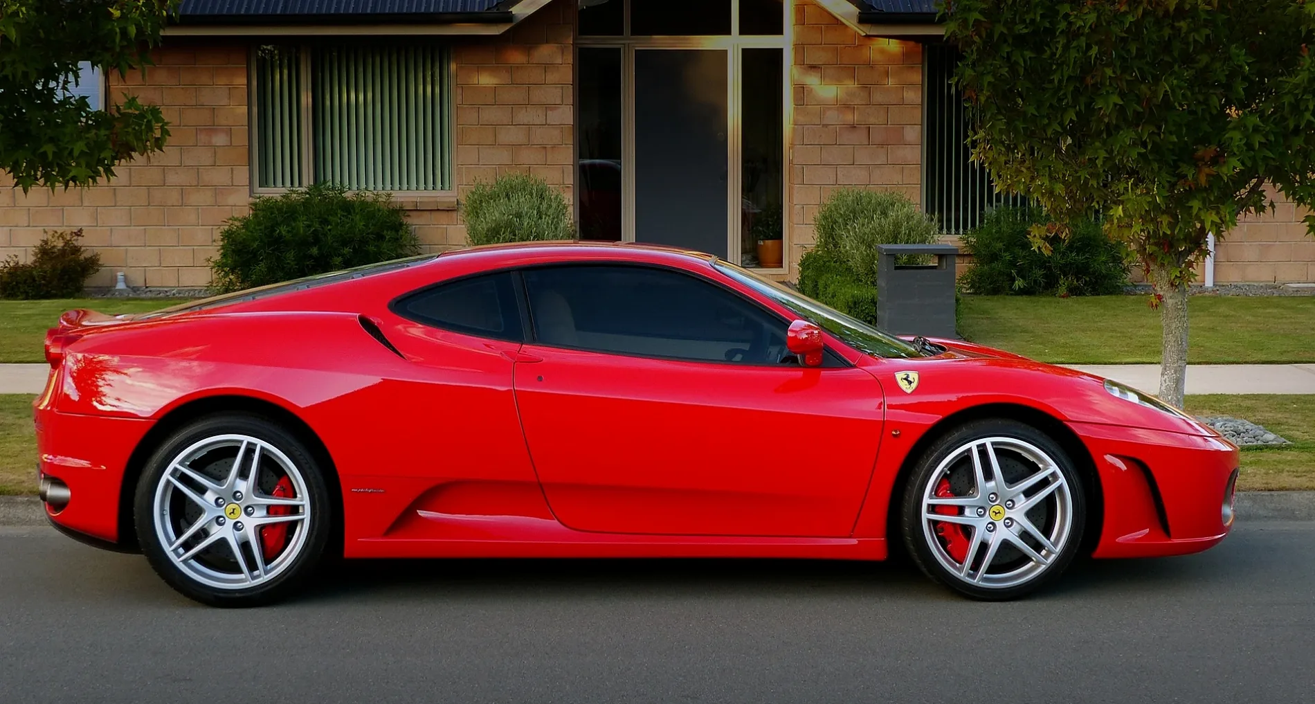
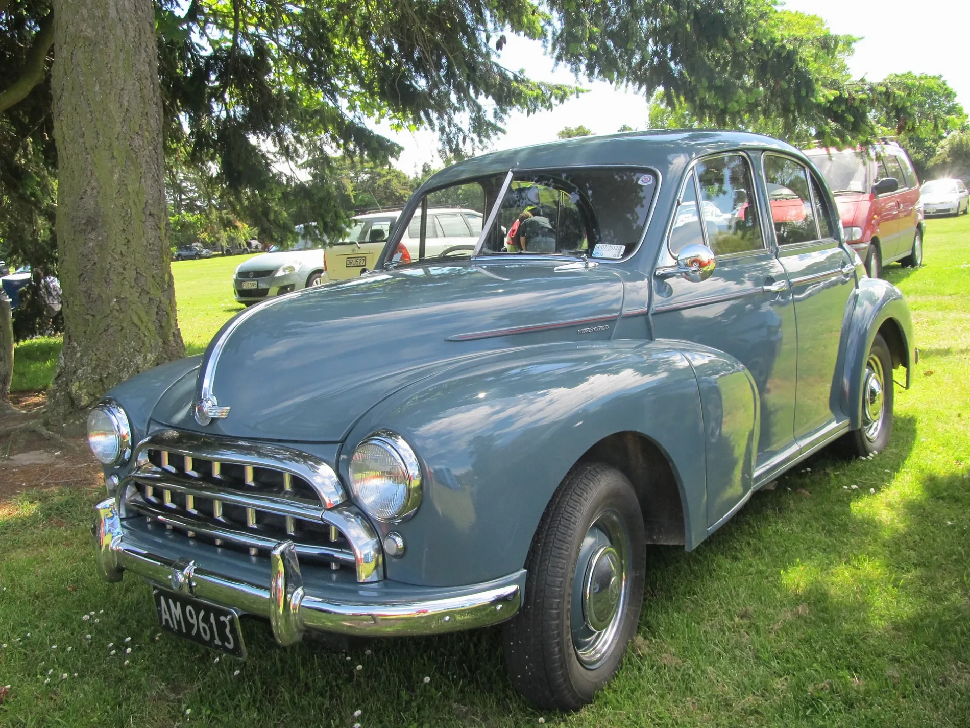
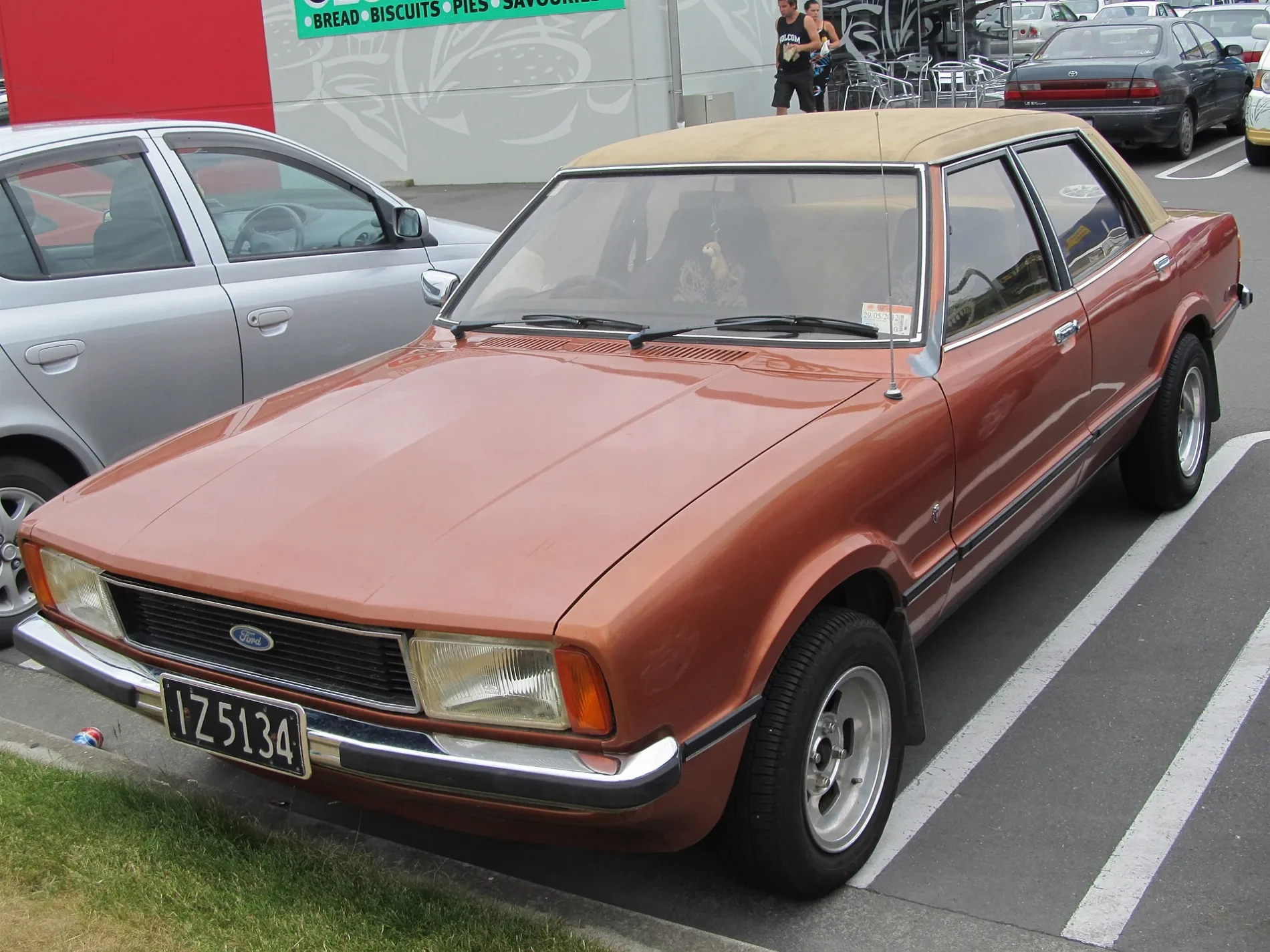
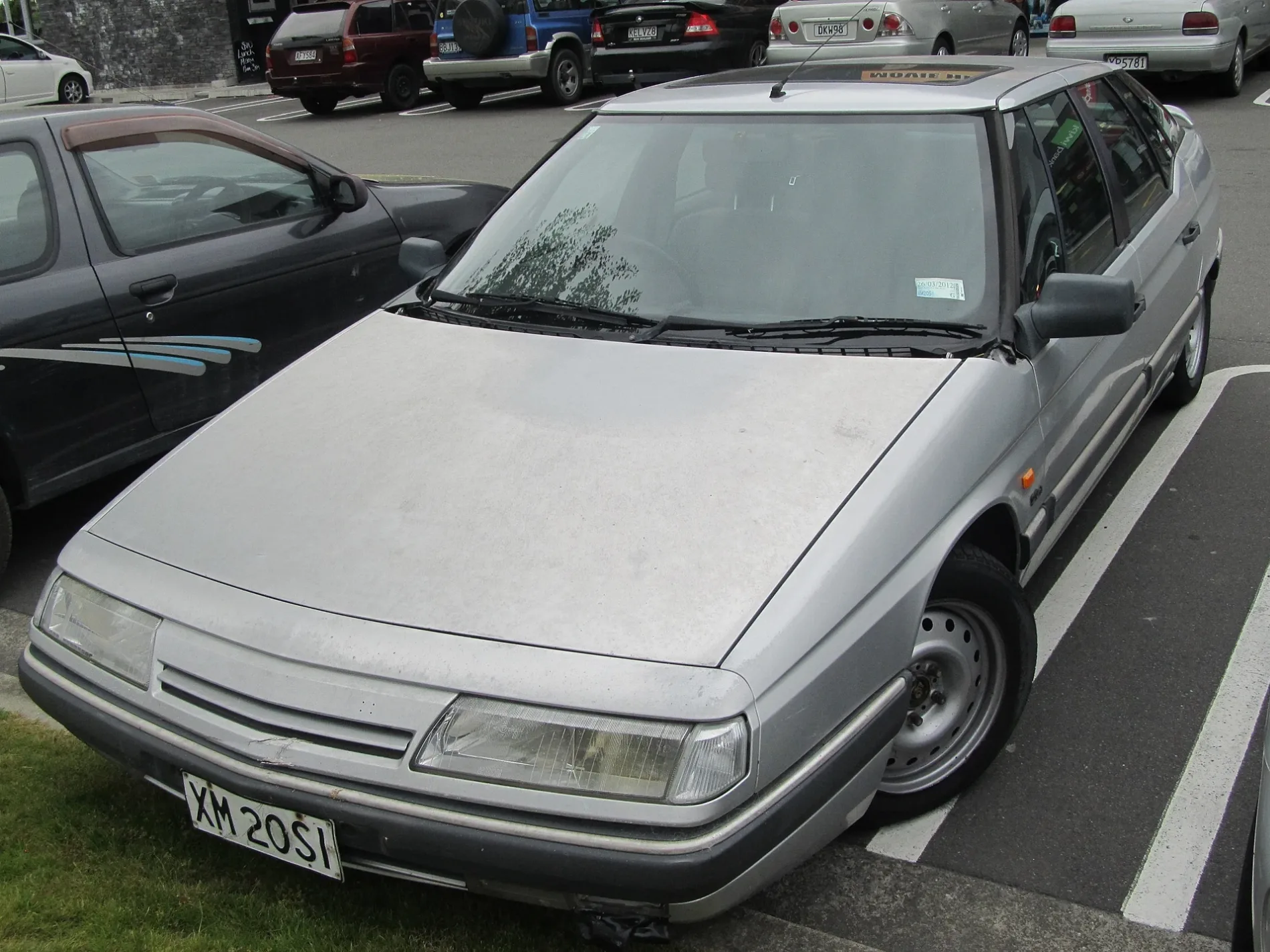
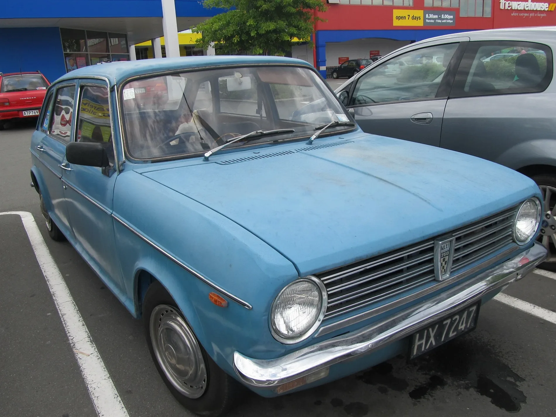
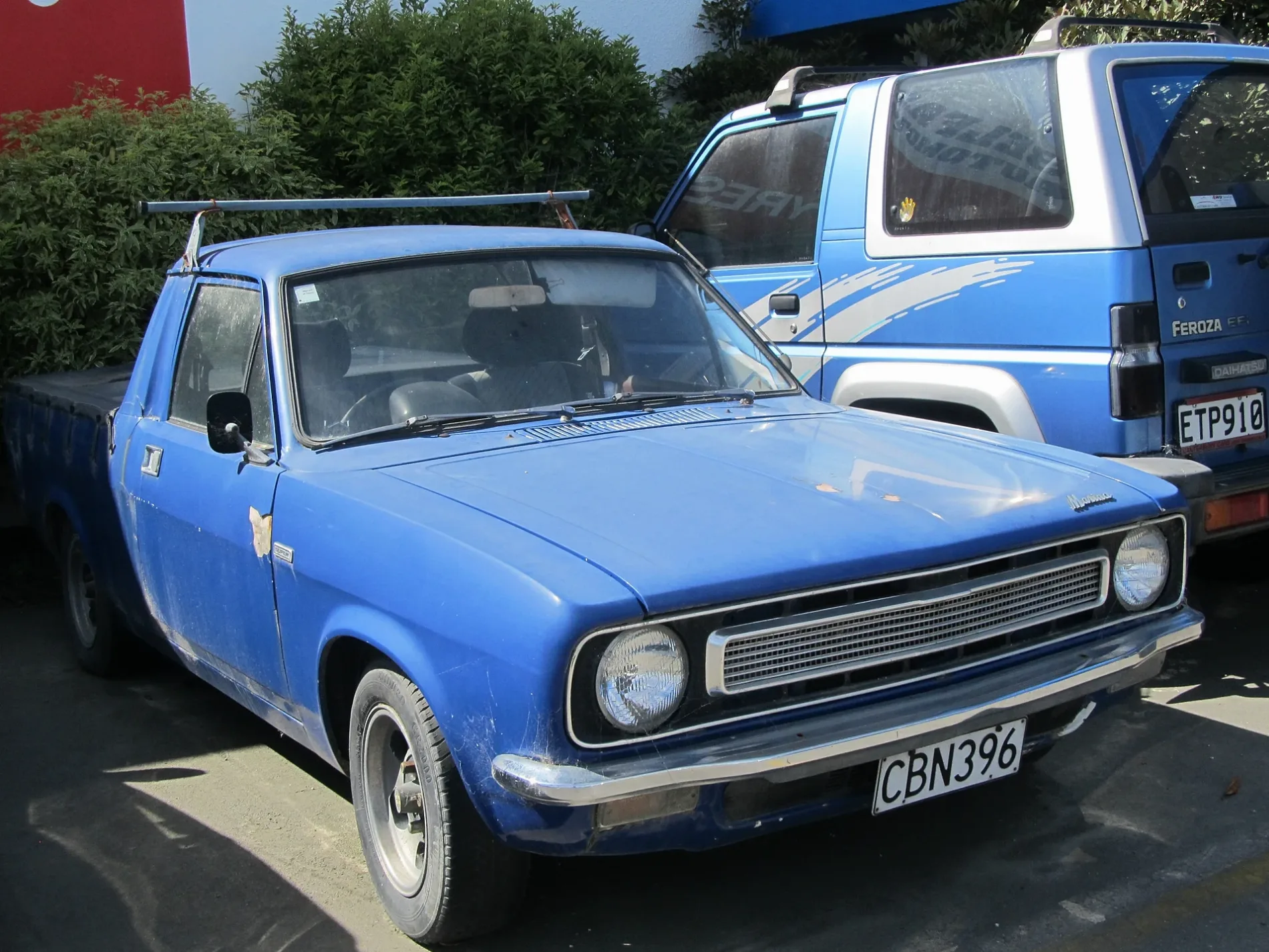
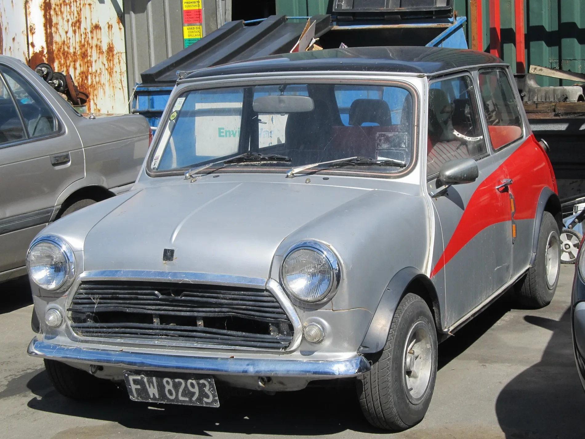
Photos from Christchurch City
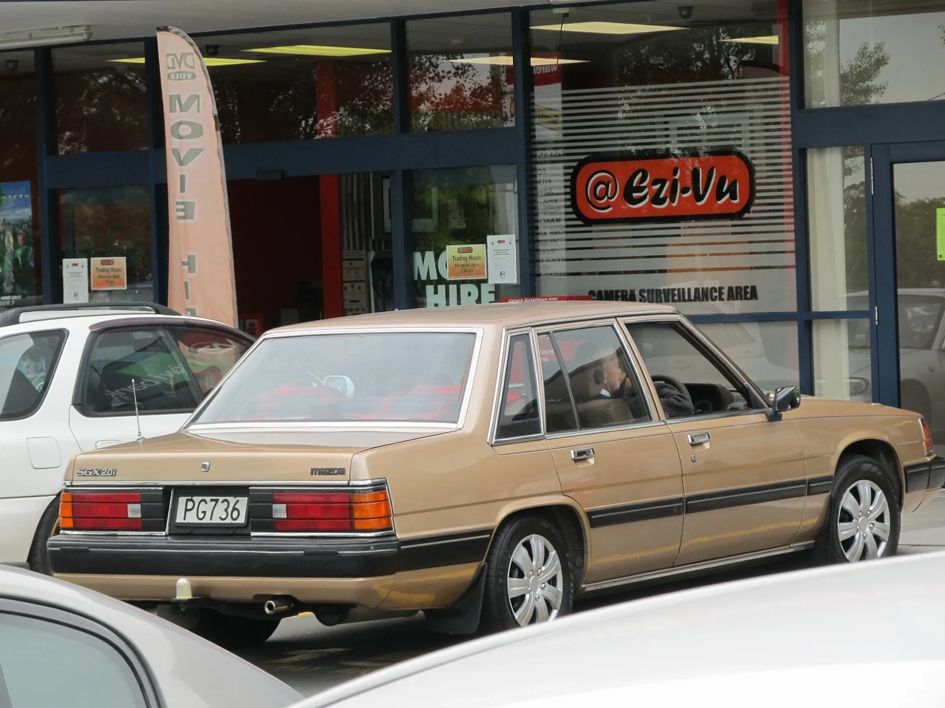
Municipalities in Christchurch City
Roads in Christchurch City
Roads
Rolleston to Templeton Shared Path
25/Main South Line, 25.5/Main South Line
Orongomai TrailLookout Rock, information board
Jones RoadJones Rd (Templeton)
Echo RoadMap
Allegromap, locked
Main South Road
Shands Shared Path
7th Street
Christchurch Southern MotorwayState Highway 1, Shands Road
Totara Trail
McDrurys Road
Robinsons RoadLadbrooks
Holdsworth Track
Meadowlands Road
Claremont Roundabout
Beach Road
Springs Road
Ellesmere Road
Featherstone AvenueKairaki
Alpha Street
Marshs Road
Potters Lane
Horse Path
Horse Track
Summit Road
Early Valley Road
Tai Tapu Road
Hayes Road
Leadleys Road
Carbine Street
Weedons Ross Roadlocked
Shands Road
Barnes Road
Beta Streetlocked
Wroots Road
Dawsons Road
Trices Road
Quarry Trail
6th Street
Crater Rim Walkway
Zeus Roadlocked
Fantail Trail
Main South Stopbanklocked
Little River Rail Trail
Waipuna Road
Burkes Bush RoadCampsite
Disused railways
Streams
Woodlands
Other
 Public transport map Christchurch City Legend
| Railway | |
| Bus | |
| Tram |
 Cycling map Christchurch City Legend
| Cycle path | |
| Cycle lane on road | |
| Cycling on bus lane | |
| Bicycle street | |
| Cyclists allowed | |
| Cyclists allowed, good surface | |
| No cycling | |
| Cobblestones |
| Long-distance cycle route | (depending on scale) | |
| Long-distance cycle route |
 Walking map Christchurch City Legend
| Path |
| Long-distance hiking trail | (depending on scale) | |
| Long-distance hiking trail | ||
| No pedestrians |