
Image
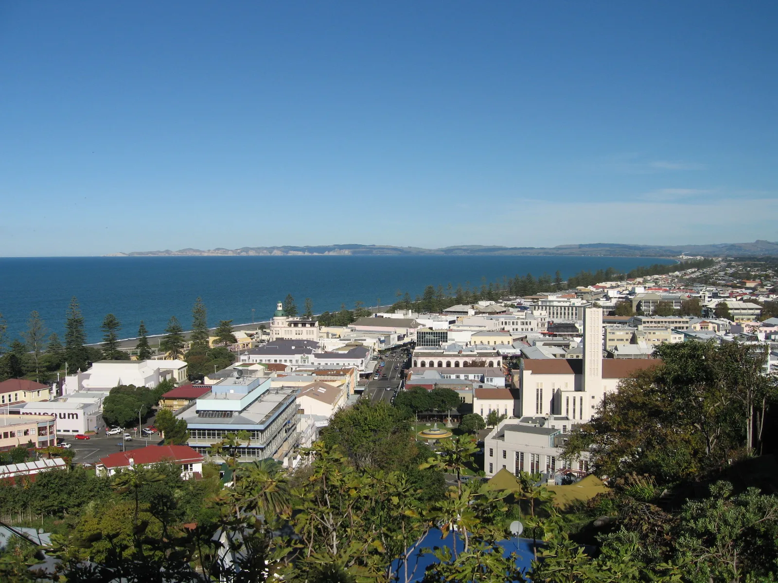
Cafés
Restaurants
Bicycle shops
Florist's
Variety stores
Bus stops
Wine shops
Benches
Tourist information offices
Off-licences
Museum
Collector shops
Fast food restaurants
Roads nearby
Springfield Road650 m
Breckenridge Road1,1 km
Breckenridge Lane1,2 km
Strome Road1,4 km
Churchill Drive to Otatara Loop Track1,4 km
Omarunui Road1,4 km
Rotary Pathway1,7 km
Redclyffe Bridge Replacement1,7 km
Korokipo Road1,8 km
Hawkes Bay Trails Great RideLenox Park, Fernhill, Bunkers Cafe, Ka Pai Cuppa Waka, Wilson Road, near cnr Omahu Road, 102 Wilson Road, opposite Hugh Little Park, 33 Wilson Road, 69 Wilson Road
1,8 km
Gloucester Street89 Gloucester Street, 59 Gloucester Street, Greenmeadows Shops, Greenmeadows School, Gloucester Street, Salvation Army Family Store, Greenmeadows Pharmacy, Orbit Neighbourhood Cafe, Taradale Clock Gloucester Street, Taradale, Four Square, Hair 'n the City, Clearance on Gloucester, Barnaby's Cafe, Taradale Central, PET Essentials Warehouse, Plunket Rooms, 186 Gloucester Street, Thirsty Liquor, AvantiPlus Pedal Power, Atawhai, Gloucester Street, EIT, 401 Gloucester Street, 402 Gloucester Street, 426 Gloucester Street, 444 Gloucester Street, 453 Gloucester Street, 138 Gloucester Street, 145 Gloucester Street, RSA, 150 Gloucester Street, 165 Gloucester Street, Taradale RSA, 4 Gloucester Street, New World, Greenmeadows, Dentiq, Dr. Sundar Jagadeesan, Domino's, Greenmeadows Chippy, Rainbow Fish Supply, Opposite EIT
1,8 km
Poaka Place1,9 km
Kokako Place1,9 km
Ngati Hinewera Lane1,9 km
Churchill Drive1,9 km
Pentar LaneWaiohiki
1,9 km
Victoria Lane2,0 km
Links RoadSilky Oak Chocolates - Chocolate Shop, Silky Oak Chocolate Factory, Links Road, Before RR 1112, Links Road, Past RR 1115, Links Road
2,0 km
Lowther Place2,0 km
Hatas Lane2,0 km
Alley Place2,0 km
Waiohiki RoadJust past Victoria Lane, Waiohiki Road, Opposite Victoria Lane, Waiohiki Road, Marae gate, Waiohiki Road, Opposite Marae, Waiohiki Road
2,0 km
Hetley CrescentOtatara Heights
2,0 km
Webb Place2,1 km
O'Dowd Road2,1 km
Buildings nearby
Ōtātara Outdoor Learning Centre1,7 km
T / Trades Complex1,8 km
R / Viticulture and Wine Science Primary Industries1,8 km
E2 / Center of Veterinary Nursing1,9 km
P11,9 km
E / Winery1,9 km
N2 / Stewart Center1,9 km
N11,9 km
E1 / Science Laboratories1,9 km
F / Ideaschool Studios1,9 km
M / John Rose Building2,0 km
B / Office of Chief Exxecutive2,0 km
C / Computing2,0 km
L1 / Bruce Martin Building2,0 km
G2 / John Harre Building2,0 km
L / Twist Library and Learning Hub2,0 km
K1 / Lecture Theatres 1 and 22,0 km
A / Hetley Building2,0 km
J12,1 km
G / Trades Academy and Allied Trades2,1 km
Community centres nearby
Hau-Te-Ana-Nui Wharenui1,9 km
Golf courses nearby
Waiohiki Golf Course1,5 km
Streams nearby
Upokohino Stream1,2 km
Other nearby
Redclyffe1,5 km
| Area | 106 km² |
|---|---|
| Elevation | 160 m |
| Located in | Napier City |
| Country | New Zealand |
| Population | 62800 |
| Website | http://www.napier.govt.nz/ |
| Native label | Napier |
| Official name | Napier |
| Described by source | Encyclopædia Britannica 11th edition |
 Public transport map Napier City Legend
| Railway | |
| Bus | |
| Tram |
 Cycling map Napier City Legend
| Cycle path | |
| Cycle lane on road | |
| Cycling on bus lane | |
| Bicycle street | |
| Cyclists allowed | |
| Cyclists allowed, good surface | |
| No cycling | |
| Cobblestones |
| Long-distance cycle route | (depending on scale) | |
| Long-distance cycle route |
 Walking map Napier City Legend
| Path |
| Long-distance hiking trail | (depending on scale) | |
| Long-distance hiking trail | ||
| No pedestrians |