
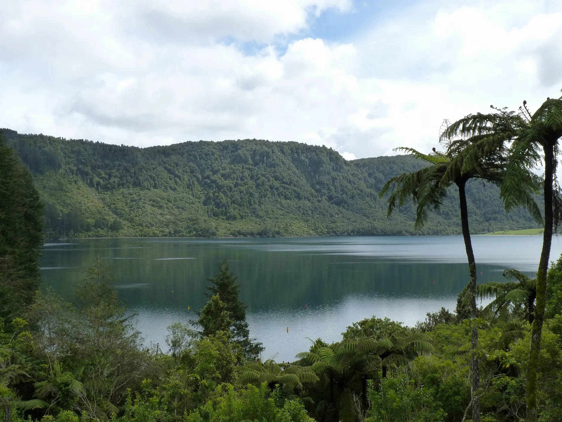
Tikitapu / Blue Lake in Rotorua Lakes District
Tikitapu / Blue Lake in Rotorua Lakes District is a body of water. Tikitapu / Blue Lake is also known as Green Lake. Ⓦ.
- Nature
- body of water
Image
Cafés
Convenience stores
Chalet
Tourist information offices
Attraction
Bicycle shops
Viewpoint
Bus stops
Picnic site
Roads nearby
Tikitapu Road950 m
Tarawera RoadTe Wairoa, Smith & Co, Two lakes lookout, Tuhourangi, La Bonne Bakery and Cafe, Sequoia Eatery, The Landing, Campsite Shop, Air Stream, Tarawera Road - Fronting No. 66
1,1 km
Lake Tikitapu TrailGlowworm Dell
1,2 km
Forest Loop | Tangaroa-mihiWhakarewarewa Forest Mountain Bike Tracks
1,3 km
Forestry1,5 km
Bush Road1,7 km
Forest Loop1,8 km
Tuhoto Ariki2,0 km
Tuhoto to Time Warp2,0 km
Forestry Road2,1 km
Kataore2,3 km
Moerangi Road2,3 km
Hatupatu2,3 km
Forest Loop | Te Kōtukutuku2,3 km
Lake Front Road2,3 km
Kung Fu Walrus2,4 km
Time Warp2,4 km
Dammit Janet2,5 km
Feeder Track2,5 km
Buchanan Road2,5 km
Forest Loop | Feeder Grade 22,5 km
Te Mu Road2,6 km
Frank n' Furter2,6 km
Wattle Grove Road2,6 km
Riff Raff2,7 km
Benn Road2,7 km
Chestnut Link2,7 km
Loop Road2,8 km
Acacia Road2,9 km
Okareka Mistletoe Walk2,9 km
Billy T2,9 km
Forest Loop | Feeder Track2,9 km
Tarawera TrailTe Wairuha, Oneroa, Twin Streams, Hawaiki Bay, Hot Water Beach Campsite
2,9 km
Lake Ōkāreka Walkway3,1 km
Te Pūtake o Tawa Running TrackKārearea Nest
3,1 km
Branch Road3,1 km
Pryce Road3,2 km
Attractions nearby
Pioneer House2,6 km
Attraction nearby
Buried Village2,7 km
Buildings nearby
Recreation Lounge1,6 km
Jayco Cabin1,6 km
Caravan site nearby
Blue Lake Top 10 Holiday Park1,7 km
Fire stations nearby
Lake Okareka Fire Station2,9 km
Museum nearby
Barracks Museum2,6 km
Wairoa Museum2,7 km
Parks nearby
Lake Okareka Reserve3,0 km
Roof structures nearby
Marquee1,7 km
Streams nearby
Wairoa Stream2,1 km
Waipa Stream2,6 km
| Inception | 1150 |
|---|---|
| Length | 1.6 |
| Area | 1.5 km² |
| Elevation | 418 m |
| Located in | Rotorua Lakes District, Bay of Plenty Region |
| Country | New Zealand |
 Public transport map Rotorua Lakes District Legend
| Railway | |
| Bus | |
| Tram |
 Cycling map Rotorua Lakes District Legend
| Cycle path | |
| Cycle lane on road | |
| Cycling on bus lane | |
| Bicycle street | |
| Cyclists allowed | |
| Cyclists allowed, good surface | |
| No cycling | |
| Cobblestones |
| Long-distance cycle route | (depending on scale) | |
| Long-distance cycle route |
 Walking map Rotorua Lakes District Legend
| Path |
| Long-distance hiking trail | (depending on scale) | |
| Long-distance hiking trail | ||
| No pedestrians |