
Kaitake Range in New Plymouth District
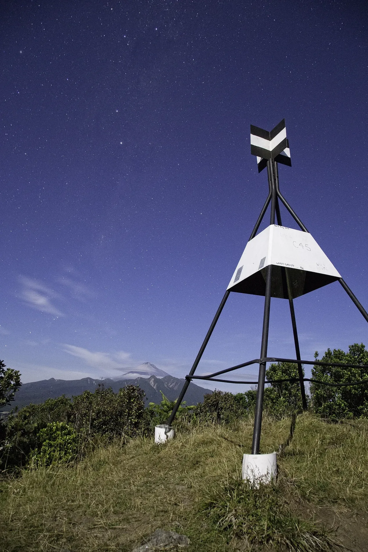
Kaitake Range in New Plymouth District is a ridge. Ⓦ.
- Nature
- ridge
Image
Viewpoint
Charging stations
Library
Doctor's office
Gift shops
Off-licences
Shelter
Bus stops
Campsite
Kindergarten
Attraction
Petrol stations
Restaurants
Parking
Cafés
Artwork
Fast food restaurants
Car repair shops
Hairdressers
Roads nearby
Davies Track2,0 km
Boars Head Mine Track2,4 km
Waimoku TrackFrank's Cafe
2,5 km
Sefton Ridge Track2,6 km
Kirihau Road3,1 km
Weld Road Upper3,7 km
Kaitake Road4,0 km
Timaru Road Upper4,2 km
Koru Road4,2 km
Ekuarangi Place4,5 km
Pahakahaka Drive4,6 km
Upper Pitone Road4,7 km
Harkness Rice Way4,7 km
Ahu Ahu RoadLucy’s Gully, Oraukawa Lodge
4,8 km
Carrington RoadCarrington Street (near 374), Carrington Street (near 387), Hurworth, Kokopu, Waterwheel, Pukeiti, Rainforest Eatery
4,9 km
Surrey Hill Road4,9 km
Wairau RoadKaitake Kindergarten
5,0 km
Plymouth Road5,1 km
Tui Grove5,2 km
South RoadSouth Road (near 67), South Road (near 178), Ōakura, Oakura Fish and Chips, BP, Ōakura Hall South Road, Butlers Reef, Festoon, Toret, Peeking Panda, Oakura Medical Centre, BP Heydon Priest, The Crafty Fox, Butler's Reef, Serial Griller, R&Co Hair and Nails, High Tide, South Road Outside BP, Omata, Carthew St, Old Fire Station, Okato, Carthew Street, Okato (opp Old Fire Station), Tataraimaka, Okato Downtown, South Road (near 128), Spotswood College
5,6 km
Donnelly StreetOakura Library
5,6 km
McKellar Street5,7 km
The Coppice5,7 km
Hussey Street5,7 km
Cunningham Lane5,8 km
Community centres nearby
Ōākura Hall5,8 km
Golf courses nearby
Kaitake Golf Club5,5 km
Guest house nearby
Patuha Lodge3,0 km
Horse ridings nearby
Oakura Pony Club5,7 km
Houses nearby
Rosewood5,9 km
Ngā Kereru6,0 km
Industrial areas nearby
Oakura delivery point4,3 km
Gas Gate4,6 km
Gas Valve5,4 km
Places of worship nearby
Saint James Church5,8 km
Sports centres nearby
Oakura Bowling Club5,9 km
Streams nearby
Pirongiha Stream1,1 km
Te Pikiwati Stream1,2 km
Ōakura River2,3 km
Pikiwati Stream2,6 km
Te Maketu Stream3,6 km
Kiri Stream3,7 km
Wakamure Stream4,3 km
Waimoku Stream5,0 km
Ngutumoki Stream5,2 km
Mangaone Stream5,4 km
Oraukawa Stream5,4 km
Swimming pools nearby
Oakura School pool5,6 km
Valleies nearby
Lucys Gully3,6 km
| Elevation | 684 m |
|---|---|
| Protected area | Egmont National Park |
| Located in | Taranaki Region |
| Country | New Zealand |
 Public transport map New Plymouth District Legend
| Railway | |
| Bus | |
| Tram |
 Cycling map New Plymouth District Legend
| Cycle path | |
| Cycle lane on road | |
| Cycling on bus lane | |
| Bicycle street | |
| Cyclists allowed | |
| Cyclists allowed, good surface | |
| No cycling | |
| Cobblestones |
| Long-distance cycle route | (depending on scale) | |
| Long-distance cycle route |
 Walking map New Plymouth District Legend
| Path |
| Long-distance hiking trail | (depending on scale) | |
| Long-distance hiking trail | ||
| No pedestrians |