
Poet's Bridge in New Plymouth District
Poet's Bridge in New Plymouth District is a footpath and is a footbridge. Poet's Bridge is also known as The Poet's Bridge. Ⓦ.
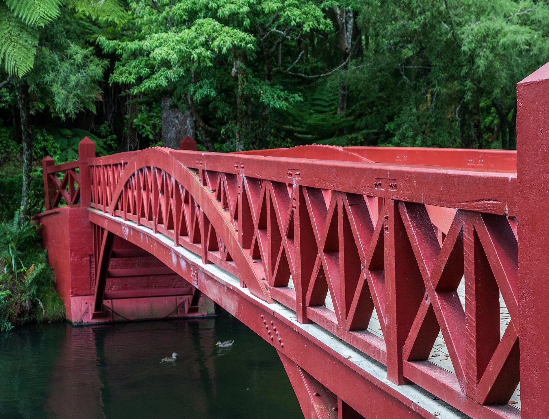
- Road Type
- footpath
- Route
- east-west
Bus stops
Artwork
Shelter
Stages
Fast food restaurants
Ice cream parlours
Viewpoint
Cafés
Drinking water fountains
Fountains
Dairy shops
Roads nearby
Boat Shed Bridge150 m
Shortland Street250 m
George Street250 m
Brooklands RoadBrooklands Road (near 70), St Pius/Brooklands, Opposite 141 Brooklands Road
300 m
Flight Place300 m
Azalea Place300 m
Brooklands Park DriveKunming Garden Moongate, The Wonky Cone
300 m
Holsworthy Street350 m
Rogan Street400 m
Liardet StreetLiardet Street (near 50/58), Liardet Street (near 47), New Plymouth Fire Station, Belhams Interiors, Liardet Street (near 85)
450 m
Norman Street450 m
Bowl Lake BridgeAotearoa
450 m
Fillis StreetSanders Gates
500 m
Gilbert StreetGilbert Street (near 3)
500 m
Bright Way500 m
Victoria RoadVictoria Road (near 32)
550 m
Mill RoadWindmill Dairy, Lower Vogeltown
550 m
Fairgray Row600 m
Carrington StreetCarrington Street (near 1/297), Four Square, Carrington Street (near 327), Fānau, Carrington Street (near 185), Carrington Street (near 233), Carrington Street (near 61), Kingfish Fish and Chips, Carrington Street (near 109), Carrington Street (near 131), G.A.S. Vogeltown, TSB, Carrington St (near 275), Vogeltown Pharmacy
600 m
Penny Lane600 m
Ballance Street650 m
Dale Street750 m
Animal enclosures nearby
Cotton-top Tamarin550 m
Meerkat550 m
Aviary600 m
Farmyard650 m
Attraction nearby
Pukekura Railway550 m
Bowl of Brooklands550 m
Body of waters nearby
Main Lake50 m
Fountain Lake250 m
Upper Lake300 m
Lily Lake400 m
Bowl Lake500 m
Buildings nearby
The Gables Colonial Hospital450 m
Brooklands Stage450 m
Brooklands Enviro-Hub550 m
Pukekura Station550 m
New Plymouth Observatory600 m
Community centres nearby
New Plymouth Brass Bandrooms300 m
Grass nearby
Fred Parker Lawn200 m
Hatchery Lawn250 m
Hotels nearby
Carrington Motel300 m
Parks nearby
Pukekura Park300 m
Truby King Dell600 m
Recreation grounds nearby
Vogeltown Park750 m
Shelters nearby
Kunming Garden Spring Pavilion400 m
Stadiums nearby
TSB Stadium300 m
Wetlands nearby
Stainton Dell250 m
Zoo nearby
Brooklands Zoo500 m
| Located in | New Plymouth District |
|---|---|
| Country | New Zealand |
 Public transport map New Plymouth District Legend
| Railway | |
| Bus | |
| Tram |
 Cycling map New Plymouth District Legend
| Cycle path | |
| Cycle lane on road | |
| Cycling on bus lane | |
| Bicycle street | |
| Cyclists allowed | |
| Cyclists allowed, good surface | |
| No cycling | |
| Cobblestones |
| Long-distance cycle route | (depending on scale) | |
| Long-distance cycle route |
 Walking map New Plymouth District Legend
| Path |
| Long-distance hiking trail | (depending on scale) | |
| Long-distance hiking trail | ||
| No pedestrians |