
Lake Sylvester in Tasman District
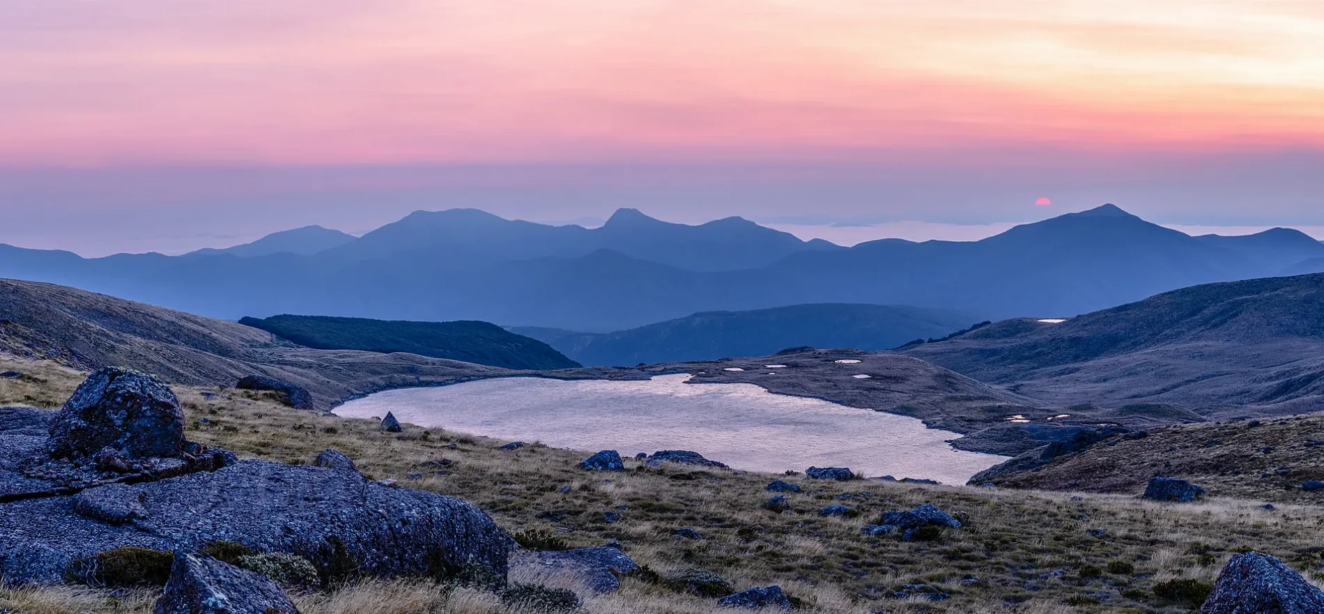
Lake Sylvester in Tasman District is a body of water. Ⓦ.
- Nature
- body of water
Image
Viewpoint
Shelter
Cafés
Caravan site
Tourist information offices
Attraction
Campsite
Public toilet
Parking
Guest house
Roads nearby
BULLOCK TRACK3,7 km
Lake Peel Track4,0 km
Cobb Ridge to Bullock Track4,3 km
Bullock Track to Lake Peel4,4 km
Cobb Valley TrackChaffey Hut, Trilobite Hut, Cobb Hut, Tent Camp
5,1 km
Track to Cobb Ridge (unmaintained)6,8 km
swingbridge6,9 km
Cobb Dam RoadCobb Dam Information Point, Cobb Hostel, Apple Tree Flat
7,0 km
Balloon Hut Track7,4 km
Kill Devil Track7,5 km
Mt Arthur Tablelands TrackGrowler Rock Shelter, Old Takaka Track, Gridiron Rock Shelters, Dry Rock Shelter Track
7,8 km
Old Takaka TrackAsbestos Hut Track, Lower Junction, Upper Junction, Old Takaka Track
8,3 km
Body of waters nearby
Little Sylvester Lake850 m
Iron Lake1,1 km
Lake Lillie1,8 km
Diamond Lake2,3 km
Lake Lockett3,1 km
Ruby Lake4,6 km
Cobb Reservoir4,9 km
Lake Peel5,2 km
Surge Chamber7,5 km
Camp Lake9,0 km
Buildings nearby
Cobb Power Station9,0 km
Dams nearby
Cobb Dam5,0 km
Ridges nearby
Lockett Range3,6 km
Peel Range6,5 km
Starvation Ridge8,7 km
Rivers nearby
Cobb River6,7 km
Waingaro River6,8 km
Tākaka River6,9 km
Stanley River8,2 km
Shelters nearby
Dry Rock Shelter8,5 km
Streams nearby
Thorn's Creek3,1 km
Bullock Creek4,4 km
Hannah Creek5,0 km
Chaffey Stream5,2 km
Camp Creek6,3 km
Mātaki Stream6,8 km
Balloon Stream7,9 km
Growler Creek8,4 km
Camp Stream8,8 km
Valleies nearby
Peat Valley5,1 km
Wilderness huts nearby
Sylvester Hut1,4 km
Trilobite Hut3,3 km
Myttons Hut3,5 km
Asbestos Cottage6,1 km
Balloon Hut7,2 km
Waingaro Forks Hut7,6 km
| Length | 855 m |
|---|---|
| Area | 28.2 ha |
| Elevation | 1325 m |
| Protected area | Kahurangi National Park |
| Located in | Tasman District |
| Country | New Zealand |
 Public transport map Tasman District Legend
| Railway | |
| Bus | |
| Tram |
 Cycling map Tasman District Legend
| Cycle path | |
| Cycle lane on road | |
| Cycling on bus lane | |
| Bicycle street | |
| Cyclists allowed | |
| Cyclists allowed, good surface | |
| No cycling | |
| Cobblestones |
| Long-distance cycle route | (depending on scale) | |
| Long-distance cycle route |
 Walking map Tasman District Legend
| Path |
| Long-distance hiking trail | (depending on scale) | |
| Long-distance hiking trail | ||
| No pedestrians |