
Riuwaka River in Tasman District
Riuwaka River in Tasman District is a river. Riuwaka River is also known as Riwaka River. Ⓦ.
- Waterway Type
- river
Image
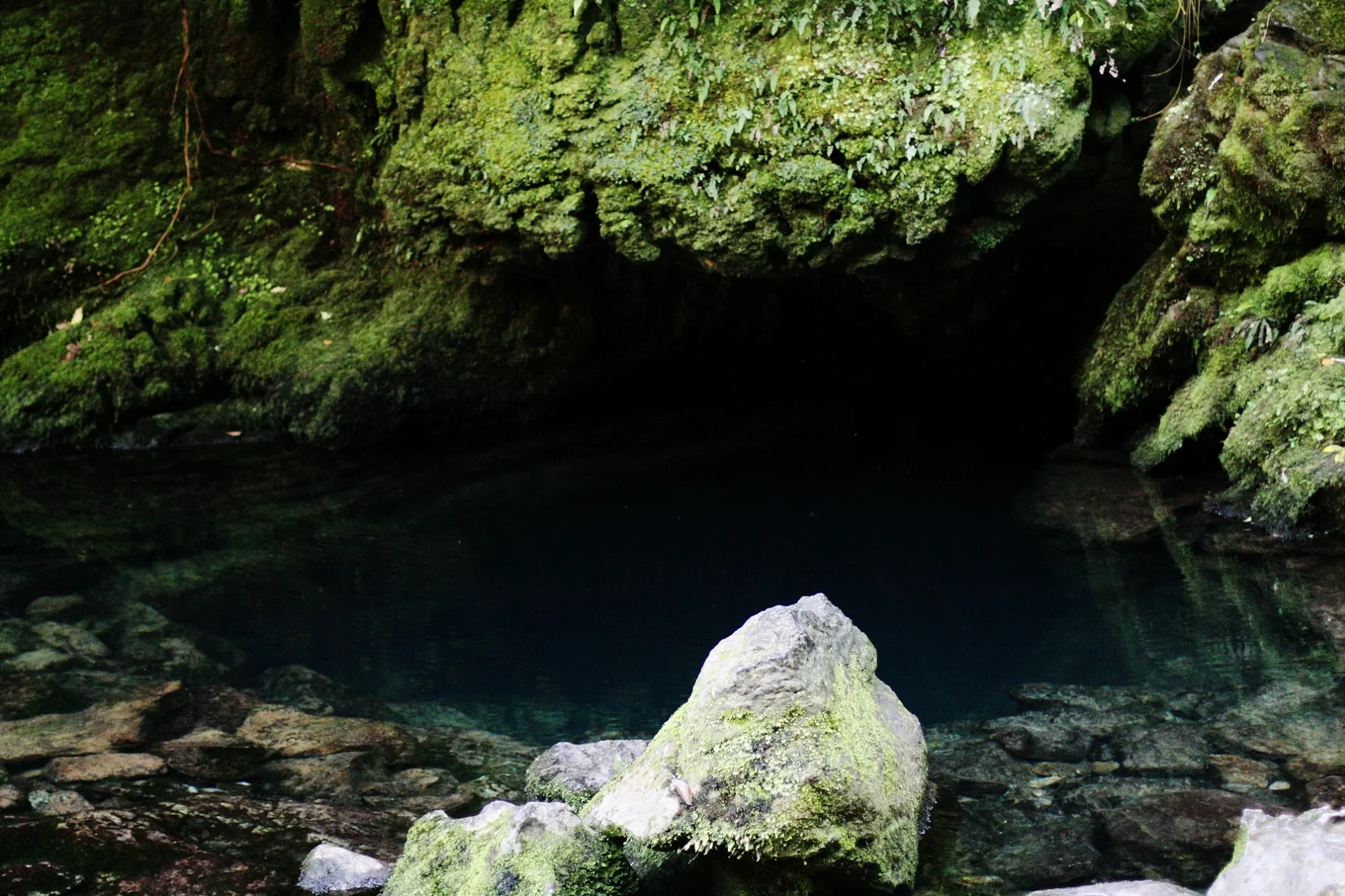
Guest house
Cafés
Petrol stations
Fire station
Fast food restaurants
Campsite
Hostels
Beverage stores
Hotels
Viewpoint
Bus stops
Restaurants
Farm shops
Bar
Chalet
Places of worship
Motel
Ticket shops
Roads nearby
Rimu Valley Walk1,9 km
Riwaka - Sandy Bay Road2,0 km
Hill Road2,3 km
Takaka Hill HighwayUpper Tākaka, Upper Takaka Shoe Fence, Overnight Parking for SC-vehicles, Bobs Lookout, Frasers Orchard
2,4 km
Main Road RiwakaHop Federation, Challenge, Mrs. Smiths Cafe and Vegetables, Riwaka, Riwaka Church
2,4 km
Dehra Doon Road2,8 km
No Brainer2,8 km
Riwaka Valley Road2,8 km
GST2,9 km
Swamp Road2,9 km
Velocity3,0 km
Bumble Bee3,0 km
Horizon Way3,1 km
Riwaka Valley Left Branch RoadWF Moss Scenic Reserve, W F Moss Scenic Reserve Picnic Area
3,1 km
Piki ki te Rā3,1 km
Rockface3,2 km
Flamin' Nora3,2 km
Jaws3,2 km
Karmakaze3,4 km
Little Sydney Road3,4 km
Riwaka - Kaiteriteri RoadCook's Corner, The Heaphy Bus, Bonnie's Place
3,5 km
Settlers Road3,6 km
Corkscrew3,6 km
Goodall Road3,6 km
Up The Wahs3,6 km
Big Ups3,7 km
Treehugger3,7 km
Trapdoor3,8 km
Skull Duggery3,8 km
Factory Road3,8 km
Glade Runner3,9 km
Great Taste TrailAccent House, Tasman Village opposite Kina Beach Road, Tapawera Volunteer Fire Brigade
3,9 km
Ziggy3,9 km
Shady Lady3,9 km
Cheeky Weka3,9 km
Revelation4,0 km
Huff4,0 km
School Road4,1 km
Cemeteries nearby
Riwaka Cemetery2,8 km
Industrial areas nearby
Heywood Orchards1,8 km
Tasman Bay Herbs2,0 km
Thomas Bros Orchards2,2 km
Parks nearby
James Park1000 m
Petrol stations nearby
Allied3,2 km
Rivers nearby
Raiuwaka River3,7 km
Riuwaka River South Branch3,8 km
Sports centres nearby
Riwaka Rugby Club2,5 km
Riwaka Touch Grounds2,8 km
Streams nearby
Jordan River1,3 km
| Length | 20 |
|---|---|
| Located in | Tasman District |
| Country | New Zealand |
 Public transport map Tasman District Legend
| Railway | |
| Bus | |
| Tram |
 Cycling map Tasman District Legend
| Cycle path | |
| Cycle lane on road | |
| Cycling on bus lane | |
| Bicycle street | |
| Cyclists allowed | |
| Cyclists allowed, good surface | |
| No cycling | |
| Cobblestones |
| Long-distance cycle route | (depending on scale) | |
| Long-distance cycle route |
 Walking map Tasman District Legend
| Path |
| Long-distance hiking trail | (depending on scale) | |
| Long-distance hiking trail | ||
| No pedestrians |