
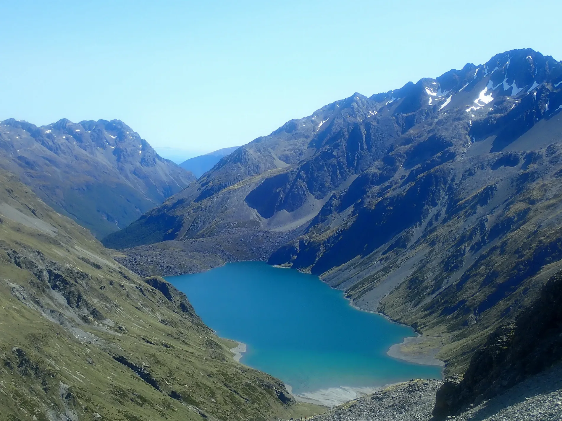
Rotopōhueroa / Lake Constance in Tasman District
Rotopōhueroa / Lake Constance in Tasman District is a body of water. Rotopōhueroa / Lake Constance is also known as Lake Constance. Ⓦ.
- Nature
- body of water
Image
Motel
Artwork
Hostel
Bakeries
Campsite
Restaurants
Petrol stations
Cafés
Viewpoint
Guest house
Shelter
Laundries
Roads nearby
Waiau Pass Route1,8 km
Moss Pass Route2,0 km
Blue Lake TrackRock Bivy
4,1 km
D'Urville Track4,8 km
(route only - unmarked)6,7 km
Waiau Pass Track8,3 km
Travers Saddle Track8,5 km
Body of waters nearby
Rotomairewhenua / Blue Lake1,0 km
Lake Thompson6,4 km
Lake Ella6,5 km
Ridges nearby
Franklin Ridge2,7 km
Mahanga Range5,4 km
Ella Range7,6 km
Rivers nearby
Sabine River West Branch1,4 km
Sabine River East Branch3,5 km
Waiau Uwha River5,7 km
Waiau Toa / Clarence River7,8 km
Streams nearby
Rainbow River7,1 km
D'Urville River8,2 km
Travers River8,3 km
Caroline Creek8,6 km
Mātakitaki River East Branch9,1 km
Wilderness huts nearby
Blue Lake Hut1,3 km
George Lyon Hut5,2 km
Upper D'Urville Hut6,3 km
West Sabine Hut7,1 km
Paske Hut9,1 km
| Area | 0.9 km² |
|---|---|
| Elevation | 1338 m |
| Protected area | Nelson Lakes National Park |
| Located in | Tasman District |
| Country | New Zealand |
| Official name | Rotopōhueroa / Lake Constance |
 Public transport map Tasman District Legend
| Railway | |
| Bus | |
| Tram |
 Cycling map Tasman District Legend
| Cycle path | |
| Cycle lane on road | |
| Cycling on bus lane | |
| Bicycle street | |
| Cyclists allowed | |
| Cyclists allowed, good surface | |
| No cycling | |
| Cobblestones |
| Long-distance cycle route | (depending on scale) | |
| Long-distance cycle route |
 Walking map Tasman District Legend
| Path |
| Long-distance hiking trail | (depending on scale) | |
| Long-distance hiking trail | ||
| No pedestrians |