
Saxon Hut in Tasman District
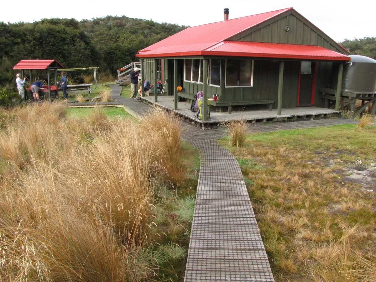
Saxon Hut in Tasman District is a building. Saxon Hut is near Heaphy Track.
- Building Type
- building
- Operator
- Department of Conservation
- Tourism
- wilderness hut
- Website
- https://doc.govt.nz/link/e0f74224da17469da64a8cd3ac4cc208
Image
Attraction
Tourist information offices
Bus stops
Gallery
- Estuary Arts (web) at Takaka-Collingwood Highway (7182) – approx. 36,1 km.
Campsite
Shelter
Hofläden
Viewpoint
Cafés
Museum
Ridges nearby
Slate Range2,1 km
Tubman Range4,6 km
Gouland Range7,9 km
Saxon Ridge8,3 km
Rivers nearby
Big River2,2 km
Perry Creek5,3 km
Corkscrew Creek5,5 km
Gorge Creek8,2 km
Saddle Creek8,6 km
Brown River9,1 km
Streams nearby
Saxon River100 m
Blue Duck Creek950 m
Weka Creek2,1 km
Shiner Brook3,3 km
Cave Brook4,0 km
Blue Shirt Creek4,7 km
Anaweka River5,8 km
Monument Creek6,1 km
Horrible Creek6,6 km
Bluffy Creek6,8 km
Lewis River7,1 km
Deception Creek8,3 km
Turimawiwi River8,9 km
Kahurangi River9,3 km
Wilderness huts nearby
Gouland Downs Hut3,8 km
Ministry of Works Historic Hut7,4 km
James Mackay Hut7,6 km
Mackay Wardens Hut7,7 km
Perry Saddle Wardens Hut8,1 km
Perry Saddle Hut8,1 km
Other nearby
James Mackay Hut Helipad7,6 km
| Protected area | Kahurangi National Park |
|---|---|
| Located in | Tasman District |
| Country | New Zealand |
 Public transport map Tasman District Legend
| Railway | |
| Bus | |
| Tram |
 Cycling map Tasman District Legend
| Cycle path | |
| Cycle lane on road | |
| Cycling on bus lane | |
| Bicycle street | |
| Cyclists allowed | |
| Cyclists allowed, good surface | |
| No cycling | |
| Cobblestones |
| Long-distance cycle route | (depending on scale) | |
| Long-distance cycle route |
 Walking map Tasman District Legend
| Path |
| Long-distance hiking trail | (depending on scale) | |
| Long-distance hiking trail | ||
| No pedestrians |