
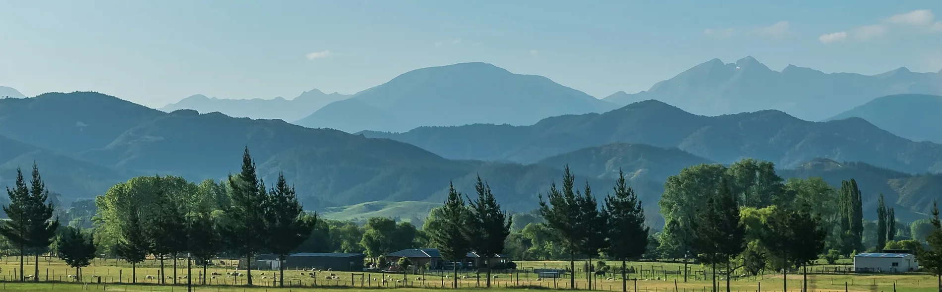
Wharepapa / Arthur Range in Tasman District
Wharepapa / Arthur Range in Tasman District is a ridge. Wharepapa / Arthur Range is also known as Arthur Range. Ⓦ.
- Nature
- ridge
Image
Shelter
Attraction
Guest house
Farm shops
Supermarkets
Tourist information offices
Fire station
Campsite
Cafés
Parking
Public toilet
Car repair shops
Petrol stations
Roads nearby
Mount Arthur (Poled Route only)950 m
Gordons Pyramid (Poled Route only)Gordon's Pyramid Track, Horseshoe Basin
1,1 km
Ellis Basin Route2,1 km
Cloustons Mine Track2,6 km
Mount Arthur Hut TrackFlora Hut Track
2,6 km
Flora Track3,4 km
Gordons Pyramid TrackGordon's Pyramid Track
3,8 km
Potholes Track (Sphinx Valley)3,9 km
Lodestone track4,5 km
Mt Arthur Tablelands TrackGrowler Rock Shelter, Old Takaka Track, Gridiron Rock Shelters, Dry Rock Shelter Track
5,3 km
Ellis Hut Track6,0 km
Graham Valley South Branch RoadFlora Carpark
6,3 km
Karamea TrackSplugeons Rock
6,8 km
Old Takaka TrackAsbestos Hut Track, Lower Junction, Upper Junction, Old Takaka Track
7,1 km
swingbridge7,2 km
Balloon Hut Track7,5 km
Bullock TrackPeat Flat Track
8,0 km
Track to Cobb Ridge (unmaintained)8,2 km
Bullock Track to Lake Peel8,8 km
Loveridge Spur Route8,8 km
Grasslands nearby
Hicky Clearing7,4 km
Ridges nearby
Pearse Ridge1,6 km
Pyramid Ridge2,9 km
Starvation Ridge5,1 km
Paddy Ridge6,7 km
Rivers nearby
Leslie River5,1 km
Tākaka River8,7 km
Scrublands nearby
Price Clearing6,7 km
Shelters nearby
Dry Rock Shelter4,6 km
Flora car park shelter4,9 km
Splugeons Rock Shelter7,2 km
Streams nearby
Horseshoe Creek3,1 km
Ellis River3,2 km
Gridiron Creek3,3 km
Flora Stream4,2 km
Growler Creek4,6 km
Balloon Stream5,1 km
Mātaki Stream6,2 km
Graham River South Branch6,3 km
Bullock Creek8,2 km
Camp Creek8,6 km
Valleies nearby
Peat Valley8,0 km
Wilderness huts nearby
Mt Arthur Hut2,2 km
Ellis Hut3,2 km
Flora Hut4,3 km
Upper Gridiron Hut4,4 km
Salisbury Lodge4,7 km
Balloon Hut7,6 km
Asbestos Cottage8,9 km
| Elevation | 1809 m |
|---|---|
| Protected area | Kahurangi National Park |
| Located in | Tasman District, Buller District |
| Country | New Zealand |
| Has part | Mount Arthur, Lodestone, The Twins |
 Public transport map Tasman District Legend
| Railway | |
| Bus | |
| Tram |
 Cycling map Tasman District Legend
| Cycle path | |
| Cycle lane on road | |
| Cycling on bus lane | |
| Bicycle street | |
| Cyclists allowed | |
| Cyclists allowed, good surface | |
| No cycling | |
| Cobblestones |
| Long-distance cycle route | (depending on scale) | |
| Long-distance cycle route |
 Walking map Tasman District Legend
| Path |
| Long-distance hiking trail | (depending on scale) | |
| Long-distance hiking trail | ||
| No pedestrians |