
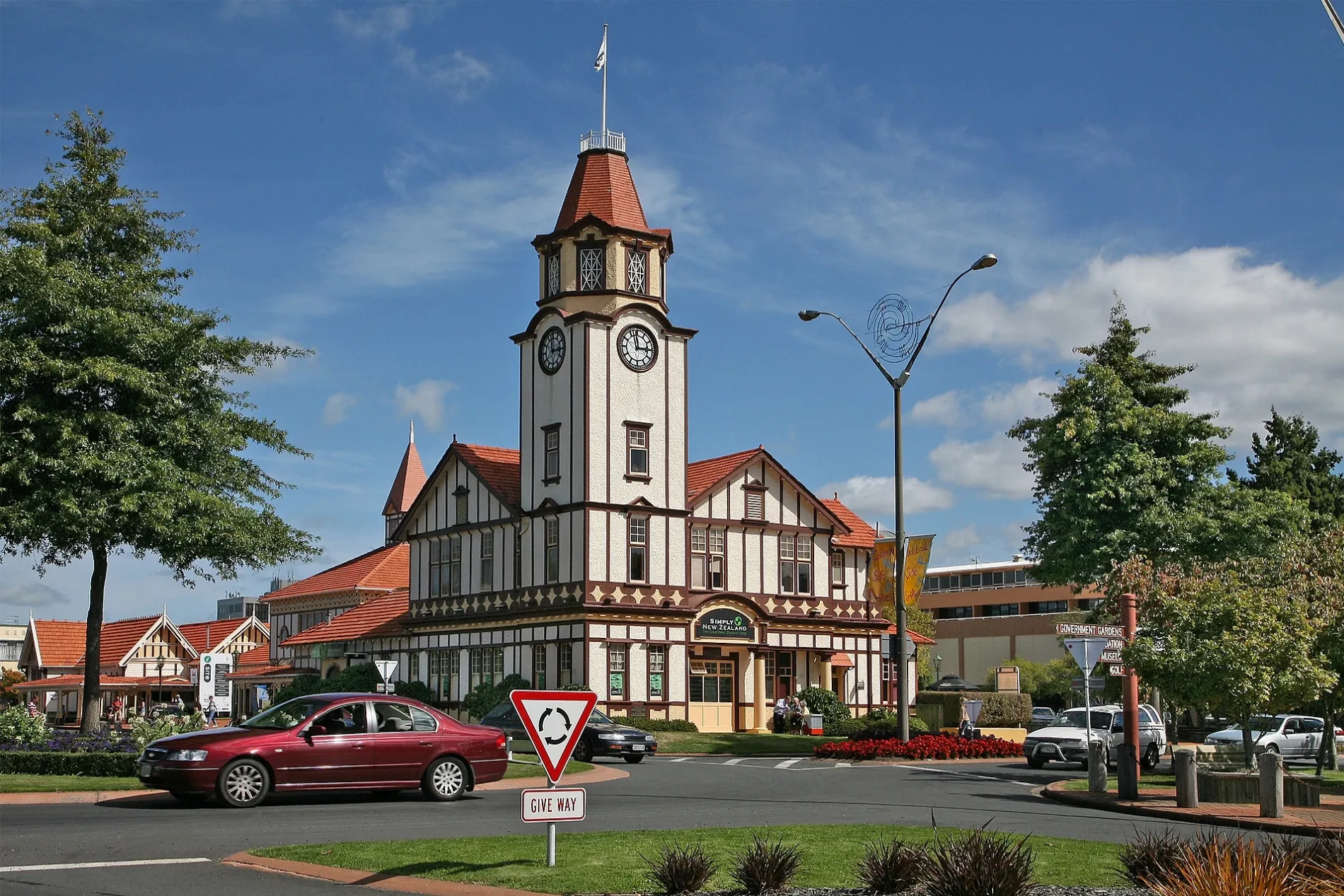
Rotorua in Rotorua Lakes District
Bus stops
Self-storages
Museum
Roads nearby
Willow AvenueTickled Trout Bed and Breakfast, Waingaehe Reserve
200 m
Wyndham Road300 m
Williton RoadHannahs Bay
350 m
Middleton Road500 m
Cooper Avenue550 m
Robinson AvenueMokoia Restaurant, Holdens Bay, Te Amorangi Museum, Robinson Avenue - Fronting No.69, Robinson Avenue - Fronting No. 30
700 m
Farnworth Avenue750 m
Stonebridge Park Drive800 m
Te Ngae RoadTe Nga Rd - Wahanga A Rangi Cr, Te Ngae Road - Fronting No. 542, Te Ngae Road - Fronting No. 524, Te Ngae Road - Fronting No. 18, Rotorua Samoan/Tokelauan (AOG), Save Barn, Red Cross Store, Te Ngae Rd - Fronting No 488, Te Ngae Road - Fronting No. 551, Owhata Pharmacy, Te Ngae Road - Opposite Lee Road, Te Ngae Road - Fronting No.634 (SH 30/30a), Te Ngae Road - Fronting No.626 (SH 30/30a), Kiwibank, Kwang Chow restaurant, Papa's Cafe, Fruit Monster, EmbroidMe, Rotorua Airport, East Side Laundromat, Tiaho Medical Centre, Te Ngae Road - Fronting No. 572, Thirsty Liquor, Great Spice Indian Takeaway, East Side Price Cutter
850 m
Charles Road850 m
Lee RoadLee Road - Fronting No. 57, Lee Road - Fronting No. 3
850 m
Alfred Road850 m
Holden Avenue900 m
Hannah Road900 m
Wahanga-A-Rangi Crescent950 m
Katoro DriveNational Storage
950 m
Pohutukawa DrivePohutukawa Drive - Fronting No. 109, Pohutukawa Drive - Opposite No. 56
1,0 km
Gee Road Realignment1,1 km
Te Huaki CrescentStorage King, Eastgate
1,1 km
Totara Ave1,2 km
Station Lane1,2 km
Rimu Street1,2 km
Body of waters nearby
Lake Rotokawa1,2 km
Buildings nearby
IMG900 m
Checkmate Precision Cutting Tools950 m
Arrivals Terminal1,0 km
Total Control Drilling1,0 km
Fonterra1,0 km
Dash Fabrications1,0 km
Departures Terminal1,1 km
Bidfood1,1 km
Damar1,1 km
Fire and Emergency NZ National Training Centre1,1 km
Campsite nearby
Keswick Christian Camp450 m
Holdens Bay Holiday Park & Conference Centre900 m
Caravan site nearby
All Seasons Holiday Park300 m
Convenience stores nearby
Jeram's Superette1000 m
Farm supplies shops nearby
CLAAS Harvest Centre Bay of Plenty950 m
Fast food restaurants nearby
McDonald's1,1 km
Hotels nearby
Waiora Lakeside Spa Resort650 m
Industrial areas nearby
Eastgate Business Park1,2 km
Motel nearby
Cedarwood Lakeside Resort900 m
Parks nearby
Hannahs Bay Reserve400 m
Waingaehe Reserve500 m
Pohutukawa Drive Reserve1,0 km
Residential areas nearby
Kakahoroa Papakāinga1,3 km
Streams nearby
Waingaehe Stream1,2 km
Other nearby
Hannahs Bay350 m
Eastgate700 m
| Inception | 1883 |
|---|---|
| Area | 2614.9 km² |
| Elevation | 280 m |
| Located in | Rotorua Lakes District |
| Postal code | 3010 |
| Country | New Zealand |
| Body of water | Lake Rotorua / Te Rotorua nui ā Kahumatamomoe |
| Population | 54500 |
| Website | http://www.rotoruanz.com/ |
| Official name | Rotorua |
| Described by source | Encyclopædia Britannica 11th edition |
Public transport map Rotorua Lakes District Legend
| Railway | |
| Bus | |
| Tram |
Cycling map Rotorua Lakes District Legend
| Cycle path | |
| Cycle lane on road | |
| Cycling on bus lane | |
| Bicycle street | |
| Cyclists allowed | |
| Cyclists allowed, good surface | |
| No cycling | |
| Cobblestones |
| Long-distance cycle route | (depending on scale) | |
| Long-distance cycle route |
Walking map Rotorua Lakes District Legend
| Path |
| Long-distance hiking trail | (depending on scale) | |
| Long-distance hiking trail | ||
| No pedestrians |