
Springfield in Rotorua Lakes District
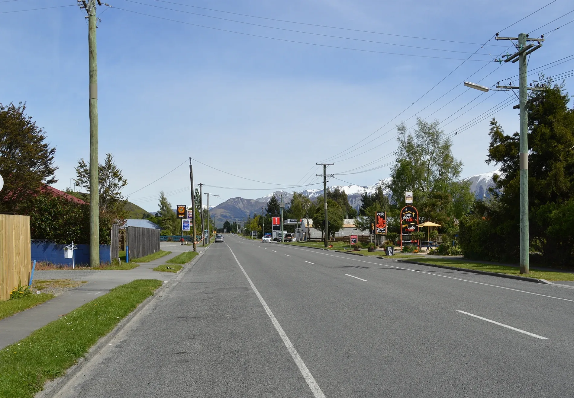
Bus stops
Guest house
Convenience stores
Hairdressers
Petrol stations
Pubs
Fast food restaurants
Kindergarten
Beauty salons
Bakeries
Off-licences
Roads nearby
Erlam Place100 m
Gillam Crescent200 m
Solly Place250 m
Baxendale Drive250 m
Brook Place300 m
Utuhina Stream Shared PathBest-Start, Pukuatua Street - Opposite Rotorua Boys High School, Old Taupo Road - Fronting No.120 (SH 5), Gui Doughs Bakery
300 m
Pukehangi RoadPukehangi Road - Fronting No. 130, Pukehangi Road - Opposite No. 310, Pukehangi Road - Fronting No. 8, Mitchell Downs
350 m
Regent Street400 m
Raniera Place400 m
Utuhina Road400 m
Luxor Place450 m
Miranda Place450 m
Great West Road450 m
Linden PlaceRotorua Views, Matipo Heights
450 m
Gallagher Street450 m
Taiporutu Place500 m
Mildred Place500 m
Windsor Street500 m
Douglas Street550 m
Cobbe Place550 m
Matipo AvenueKaranda BnB
600 m
Carter Drive650 m
Haratua Place650 m
Bata Place650 m
Florey Heights650 m
Devon Street WestDevon Street West - Opposite Smallbone Park, Devon Street West - Opposite No. 186, Devon Street West - Fronting No. 165
700 m
Neri CrescentNeri Crescent - Fronting No. 36
700 m
Westbourne Avenue700 m
Tihi Road750 m
Simmonds Crescent750 m
Petrie StreetPetrie St - Fronting No 27
750 m
Hathor Street850 m
Hapi Street900 m
McDowell StreetMcDowell Street - Fronting No. 40, McDowell Street - Fronting No. 6
900 m
Amun Place900 m
Springfield RoadJackson Park Kindergarten, Springfield Takeaways, Crazy Beautiful, Naked Beauty, Springfield Road - Fronting No.133, Springfield Road - Fronting No. 114
950 m
Hunt Crescent1,1 km
Golf courses nearby
Springfield Golf Course750 m
Greenfields nearby
Matipo Heights Extent500 m
Parks nearby
Brook Place Reserve250 m
Tihi Road Reserve800 m
Ray Boord Park1,1 km
Recreation grounds nearby
Smallbone Park900 m
Residential areas nearby
`800 m
Stadiums nearby
Rotorua International Stadium700 m
Streams nearby
Utuhina Stream550 m
Other nearby
Matipo Heights50 m
Pomare700 m
Hillcrest1,1 km
| Located in | Rotorua Lakes District, Bay of Plenty Region |
|---|---|
| Country | New Zealand |
Public transport map Rotorua Lakes District Legend
| Railway | |
| Bus | |
| Tram |
Cycling map Rotorua Lakes District Legend
| Cycle path | |
| Cycle lane on road | |
| Cycling on bus lane | |
| Bicycle street | |
| Cyclists allowed | |
| Cyclists allowed, good surface | |
| No cycling | |
| Cobblestones |
| Long-distance cycle route | (depending on scale) | |
| Long-distance cycle route |
Walking map Rotorua Lakes District Legend
| Path |
| Long-distance hiking trail | (depending on scale) | |
| Long-distance hiking trail | ||
| No pedestrians |