
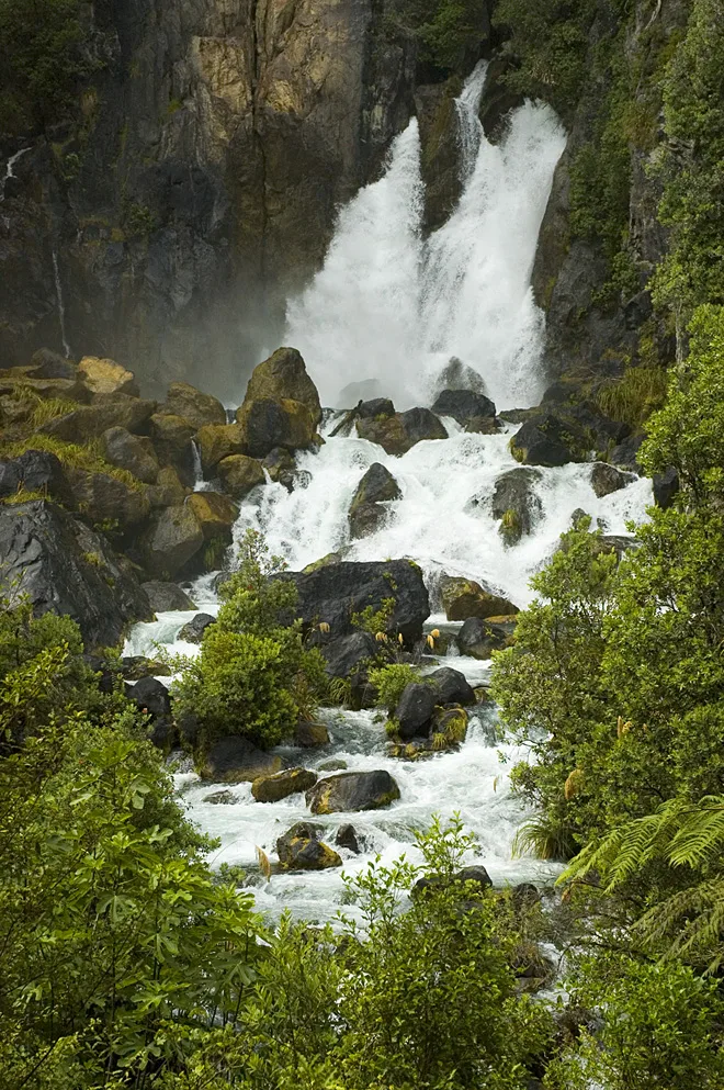
Tarawera River in Rotorua Lakes District
Tarawera River in Rotorua Lakes District is a body of water. Ⓦ.
- Nature
- body of water
Campsite
Fire station
Petrol stations
Places of worship
Bus stops
Viewpoint
Picnic site
Guest house
Public baths
Cafés
Attraction
Convenience stores
Tourist information offices
Roads nearby
Tarawera Road2,8 km
Northern Tarawera TrackHumphries Bay Campsite
5,1 km
Fenton Mill RoadFenton Mill Road - Fronting No. 76
8,6 km
State Highway 30G.A.S., Rotomas Roadhouse Cafe, Rotoma Fire Station, Hells Gate Thermal Park, Guthrie, Waireka, Lake Rotoiti, Emery Store and Takeaway, Wishing Tree
9,1 km
Body of waters nearby
Tarawera River1,7 km
Streams nearby
Korutu Stream3,5 km
Waiwhakapa Stream3,6 km
Kaipara Stream4,4 km
Waiaute Stream4,9 km
Kaipara5,3 km
Otuhangu Stream5,6 km
Buddles Creek5,6 km
Waikanapiti Stream5,7 km
Okahiri Stream6,3 km
Mangawhio Stream6,4 km
Ohakiri Stream6,9 km
Mangakotukutuku Stream7,2 km
Mangate Stream8,6 km
Rere Stream8,8 km
| Length | 65 |
|---|---|
| Located in | Rotorua Lakes District, Whakatāne District, Bay of Plenty Region, Kawerau District |
| Country | New Zealand |
| Origin | Lake Tarawera |
| Mouth | Bay of Plenty |
| Tributary | Mangakotukutuku Stream, Kaipara Stream, Waiaute Stream, Mangawhio Stream, Mangate Stream, Korutu Stream, Buddles Creek, Ruruanga Stream, Lake Rotoroa, Mangaone Stream, Waikamihi Stream, Awakaponga Canal, Awaiti Canal, Te Awa o te Atua / Matatā Lagoon, Old Rangitaiki Channel |
| Has part | Tarawera Cascades, Tarawera Falls |
Public transport map Rotorua Lakes District Legend
| Railway | |
| Bus | |
| Tram |
Cycling map Rotorua Lakes District Legend
| Cycle path | |
| Cycle lane on road | |
| Cycling on bus lane | |
| Bicycle street | |
| Cyclists allowed | |
| Cyclists allowed, good surface | |
| No cycling | |
| Cobblestones |
| Long-distance cycle route | (depending on scale) | |
| Long-distance cycle route |
Walking map Rotorua Lakes District Legend
| Path |
| Long-distance hiking trail | (depending on scale) | |
| Long-distance hiking trail | ||
| No pedestrians |