
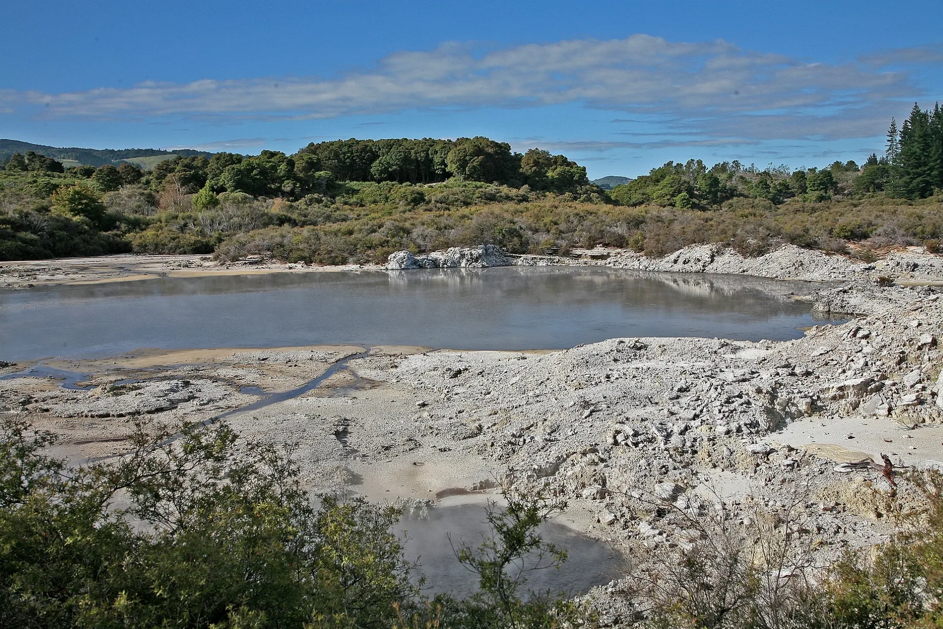
Tikitere in Rotorua Lakes District
Bus stops
Attraction
Social facility
Restaurants
Places of worship
Roads nearby
Cookson Road550 m
Te Ngae RoadTe Ngae Road - Fronting No. 542, Te Ngae Road - Fronting No. 524, Te Ngae Road - Fronting No. 18, Rotorua Samoan/Tokelauan (AOG), Save Barn, Red Cross Store, Te Ngae Rd - Fronting No 488, Te Nga Rd - Wahanga A Rangi Cr, Te Ngae Road - Fronting No. 551, Owhata Pharmacy, Te Ngae Road - Opposite Lee Road, Te Ngae Road - Fronting No.634 (SH 30/30a), Te Ngae Road - Fronting No.626 (SH 30/30a), Kiwibank, Kwang Chow restaurant, Papa's Cafe, Fruit Monster, EmbroidMe, Rotorua Airport, East Side Laundromat, Tiaho Medical Centre, Te Ngae Road - Fronting No. 572, Thirsty Liquor, Great Spice Indian Takeaway, East Side Price Cutter
1,2 km
State Highway 30Hells Gate Thermal Park, Guthrie, Waireka, G.A.S., Rotomas Roadhouse Cafe, Rotoma Fire Station, Lake Rotoiti, Emery Store and Takeaway, Wishing Tree
1,5 km
Te Ngae Roundabout1,5 km
Old Mātaikōtare Road1,5 km
Rangiteaorere Road1,5 km
Mātaikōtare RoadMātaikōtare
1,5 km
Hawthornden DriveHawthornden
1,7 km
Fitzroy Place1,7 km
State Highway 33Mourea, Tokerau, Mourea Mini Mart, Mourea Kitchen, The Happy Angler, Mourea Coffee, Ōkere Falls
1,7 km
Essendon Place1,9 km
Rotokawa RoadRotokawa
2,0 km
Brunswick Drive2,1 km
Coburg Place2,2 km
Okahu Lane2,3 km
Glenroy Place2,5 km
Flemington Place2,6 km
Wahanga-A-Rangi Crescent2,7 km
Station Lane2,8 km
Rimu Street2,8 km
Totara Ave2,8 km
Te Huaki CrescentStorage King, Eastgate
2,8 km
Parkcliff Road2,8 km
Collingwood Drive2,9 km
Ascot Vale2,9 km
Banksia PlaceMoanarua
3,0 km
Amenities nearby
Waiohewa Marae1,5 km
Beaches nearby
Waiōhewa Beach800 m
Body of waters nearby
Lake Maui1,5 km
Lake Rotokawa2,3 km
Buildings nearby
Departures Terminal2,3 km
Arrivals Terminal2,4 km
Bidfood2,7 km
Dash Fabrications2,8 km
Fonterra2,8 km
Fire and Emergency NZ National Training Centre2,8 km
IMG2,8 km
Farm supplies shops nearby
CLAAS Harvest Centre Bay of Plenty2,8 km
Industrial areas nearby
Eastgate Business Park2,7 km
Residential areas nearby
Kakahoroa Papakāinga2,2 km
Streams nearby
Waiohewa Stream1,6 km
Wairewarewa Stream1,8 km
Vehicle inspection centres nearby
Commerical Vehicle Safety Centre1,6 km
Other nearby
Ruamata550 m
Rotorua Regional Airport1,2 km
Mātaikōtare1,5 km
Hawthornden2,0 km
Pikirangi2,0 km
Moanarua2,9 km
| Located in | Bay of Plenty Region, Rotorua Lakes District |
|---|---|
| Country | New Zealand |
| Population | 702 |
Public transport map Rotorua Lakes District Legend
| Railway | |
| Bus | |
| Tram |
Cycling map Rotorua Lakes District Legend
| Cycle path | |
| Cycle lane on road | |
| Cycling on bus lane | |
| Bicycle street | |
| Cyclists allowed | |
| Cyclists allowed, good surface | |
| No cycling | |
| Cobblestones |
| Long-distance cycle route | (depending on scale) | |
| Long-distance cycle route |
Walking map Rotorua Lakes District Legend
| Path |
| Long-distance hiking trail | (depending on scale) | |
| Long-distance hiking trail | ||
| No pedestrians |