
Surge Chamber Road in Taupō District
Surge Chamber Road in Taupō District is an unpaved service road and runs in an east-west direction.
- Road Type
- service road
- Route
- east-west
Image
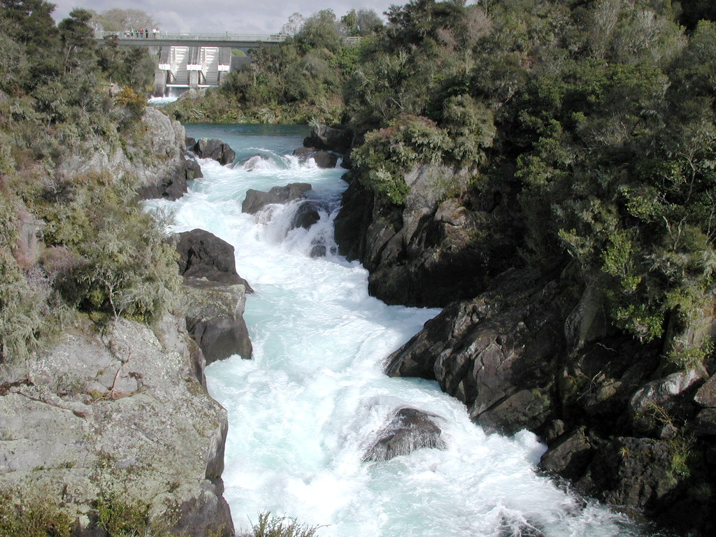
Attraction
Gallery
- Lava Glass (opening hours: Mon–Sun 9–17, web) – approx. 2,4 km.
Restaurants
Petrol stations
Bus stops
Caravan site
Cafés
Bar
Charging stations
Viewpoint
Tourist information offices
Convenience stores
Hotels
Roads nearby
Aratiatia RoadWelcome to Aratiatia, Aratiatia Dam Lookout
650 m
Rapids RoadAratiatia
1,3 km
Aratiatia WalkwayHuka Falls, Ice-blue, SNOW-WHITE, Wairakei Tourist Park, Huka Falls River Cruises, Aratiatia Freedom Camping
1,6 km
State Highway 5Tahorakuri, Waimahana, Rangitaiki (Rangitaiki Lodge), Lava Glass Blowing Studio (and Cafe)
2,7 km
View Road2,9 km
Hīnau Crescent3,0 km
Nīkau Street3 Nikau St (Wairakei Village)
3,1 km
Ngaio Place3,1 km
Maire StreetOpp 15 Maire St (Wairakei Village)
3,3 km
Rata StreetJCs Sports Bar, 36 Rata St (Proposed), 3 Rata Street (Wairakei Village)
3,3 km
Kamu Crescent3,3 km
Tawa Place3,3 km
Raukawa Crescent3,4 km
Rangiora Crescent3,4 km
Service Lane 273,4 km
Kauri DriveWairakei Food Market, Wairākei Village, 14 Kauri Drive (Wairakei Village)
3,5 km
Nga Awa Purua Road3,6 km
Wairakei Roundabout3,7 km
Te Aro RoadWairākei Geothermal Power Station
3,7 km
East Taupō ArterialCentennial Drive, Thermal area, Broadlands Road, Suga Mammas, Cafe Lacus
4,1 km
Oak Drive4,1 km
Palmer Mill Road4,3 km
Wairakei Thermal Valley Road4,3 km
State Highway 1Delta Coffee, Challenge, Lake Front Accommodation, Waitahanui (Te Kura O Waitahanui), Waitahanui (Opp School), Mount Ngauruhoe, Motuoapa Lodge, Motuoapa - Southbound, Motuoapa - Northbound, Gull, Tonys Lodge, Waiketoto Marae, Waiketoko (Opp Marae), The Hungry Trout, Lake Taupo Lookout, Freedom Camping for Self Contained Vehicles, Hinemaiaia, Motutere, Motutere Bay (opp Holiday Park), Motutere Holiday Park
4,4 km
Rau Hoata Road4,4 km
Wairakei DriveWairakei, Control Gates Hill
4,6 km
The AvenueBP Wairakei
4,7 km
Karetoto RoadPrawn Farm, Huka Falls Jet, Volcanic Activity Centre, Huka Falls Jet (Taupo), Huka Honey Hive, huka Honey Hive
4,7 km
Attraction nearby
Maze3,5 km
Huka Prawn Park3,8 km
Body of waters nearby
Aratiatia Surge Tank250 m
Ngaawapurua Rapids3,9 km
Lake Rotokawa4,4 km
Buildings nearby
Aratiatia powerhouse300 m
Nga Awa Purua geothermal power station3,8 km
Dams nearby
Aratiatia Dam600 m
Hot springs nearby
Wairakei Thermal Valley4,9 km
Industrial areas nearby
Aratiatia Power Station350 m
Wairākei Power Station3,6 km
Ngā Awa Pūrua Power Station3,8 km
Rotokawa Power Station4,6 km
Industrial buildings nearby
Wairakei B power station3,3 km
Wairakei A power station3,4 km
Miniature golfs nearby
Mini Golf3,5 km
Petrol stations nearby
BP4,7 km
Resorts nearby
Wairakei Resort4,5 km
Sports centres nearby
Taupo Wake Park4,4 km
Streams nearby
Wairākei Stream3,6 km
Otawheta Stream4,3 km
Public transport map Taupō District Legend
| Railway | |
| Bus | |
| Tram |
Cycling map Taupō District Legend
| Cycle path | |
| Cycle lane on road | |
| Cycling on bus lane | |
| Bicycle street | |
| Cyclists allowed | |
| Cyclists allowed, good surface | |
| No cycling | |
| Cobblestones |
| Long-distance cycle route | (depending on scale) | |
| Long-distance cycle route |
Walking map Taupō District Legend
| Path |
| Long-distance hiking trail | (depending on scale) | |
| Long-distance hiking trail | ||
| No pedestrians |