
Crimonmogate in Aberdeenshire
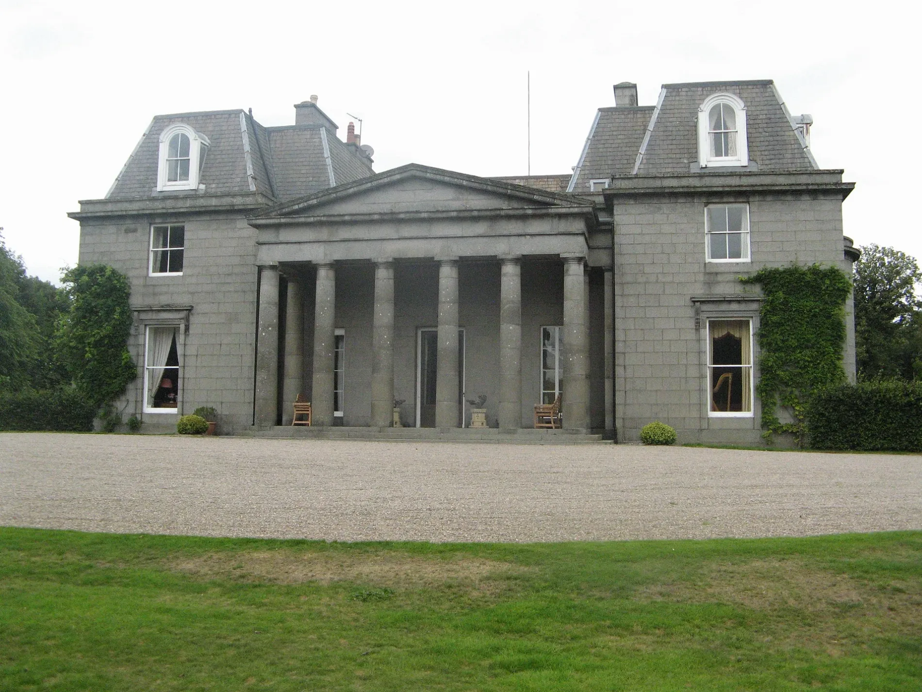
Crimonmogate in Aberdeenshire is a residential building. Crimonmogate is near Lang Stracht. Ⓦ.
- Building Type
- residential building
Image
Roads nearby
Lang Stracht1,1 km
Dunbar & Tower Hide Path1,2 km
Reserve Management Path 1,7 km
Summer Path OnlyStarnafin
1,9 km
Anvil Place2,1 km
Logie Avenue WestLogie Road
2,1 km
Loch View2,2 km
Logie RoadCrimond
2,2 km
Cowie Gardens2,2 km
Logie Avenue EastStarnafin Road, Logie Road
2,2 km
Footpath Summer Only2,3 km
The CorseAnvil Place, Irvine Place, Logie Drive, Russell Court
2,3 km
The Row2,3 km
Irvine Place2,3 km
Dickie Drive2,3 km
Leys Drive2,3 km
Russell Court2,4 km
Logie Drive2,4 km
Louisa Crescent2,4 km
Norman Road2,4 km
Mansefield Place2,4 km
Attraction nearby
RSPB Loch of Strathbeg1,8 km
Body of waters nearby
Flight Pond2,2 km
Buildings nearby
Crimonmagate House150 m
Mains of Lonmay1,3 km
Lonmay Telephone Exchange2,2 km
Craigellie House2,2 km
Coralhill2,6 km
Churches nearby
Lonmay Parish Church1,5 km
Lonmay Old Parish Church1,7 km
Farmyards nearby
Tyakesnook750 m
Elliewell2,1 km
Mosstown2,2 km
Barnyards2,5 km
Houses nearby
Savoch700 m
Mosstown of Lonmay1,8 km
Starnafin1,9 km
Middleton2,1 km
Quarryhill2,2 km
Netherton2,6 km
Parks nearby
The Corse Playpark2,2 km
Crimond School2,3 km
Russell Court Park2,4 km
Places of worship nearby
Crimond Church2,4 km
Residential areas nearby
Braeside1,8 km
Rivers nearby
Burn of Savoch1,3 km
Streams nearby
Ellie Burn1,1 km
Woodlands nearby
Rookery1,5 km
Wildlife Garden1,9 km
| Located in | Aberdeenshire |
|---|---|
| Country | United Kingdom |
| Has part | Crimonmogate House |
 Public transport map Aberdeenshire Legend
| Railway | |
| Bus | |
| Tram |
 Cycling map Aberdeenshire Legend
| Cycle path | |
| Cycle lane on road | |
| Cycling on bus lane | |
| Bicycle street | |
| Cyclists allowed | |
| Cyclists allowed, good surface | |
| No cycling | |
| Cobblestones |
| Long-distance cycle route | (depending on scale) | |
| Long-distance cycle route |
 Walking map Aberdeenshire Legend
| Path |
| Long-distance hiking trail | (depending on scale) | |
| Long-distance hiking trail | ||
| No pedestrians |