
Thornton in Aberdeenshire
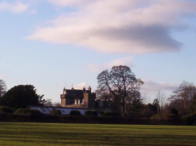
Thornton in Aberdeenshire is a building. Thornton is near Landends. Ⓦ.
- Building Type
- building
Image
Roads nearby
Landends700 m
Couper's Road1,9 km
Lyall Terrace2,2 km
Buchan Park2,2 km
Lyall Street2,2 km
Lyall Crescent2,2 km
Adamson Way2,2 km
Fordyce Place2,3 km
Reed Crescent2,3 km
Oatyhill Bridge2,3 km
Lyall Way2,3 km
Laurencekirk BypassMobile Speed Camera Location
2,3 km
Railway Road2,3 km
Farmyards nearby
Mains of Thornton550 m
Thornton Home Farm600 m
Haughhead700 m
Waterside of Thornton1000 m
Blackiemuir Farm1,0 km
Bent1,0 km
Waterside of Newton1,3 km
Little Thornton1,4 km
Mill of Thornton1,7 km
Burnroot1,9 km
Woodside of Thirnton1,9 km
Coldstream2,1 km
Pitnamoon2,4 km
Easthills2,5 km
Inchgray Farm2,8 km
Forests nearby
Knowlies Plantation250 m
Lady Jane's Plantaiton1,8 km
Muiredge Belt1,8 km
Greenbottom Wood2,0 km
Hillside Scouts Woods2,2 km
Thornton Wood2,2 km
Landends Plantation2,5 km
Little Thornton Wood2,5 km
Plant nurseries nearby
The Flower Field2,3 km
Railway lines nearby
Edinburgh to Aberdeen Line2,5 km
Residential areas nearby
Brigton1,9 km
Royal Arch Riverside Park2,0 km
Middleton2,6 km
Streams nearby
Black Burn300 m
Dowrie Burn1,6 km
Gaugers Burn1,9 km
Woodlands nearby
Denlethen Wood1,6 km
Thornton Birchwood2,1 km
Hillside Scouts Birchwood2,2 km
Craigmoston Mains Plump2,4 km
Middleton Strip2,7 km
| Heritage designation | category B listed building |
|---|---|
| Located in | Aberdeenshire, Marykirk |
| Country | United Kingdom |
 Public transport map Aberdeenshire Legend
 | Railway | |
| Bus | |
| Tram |
 Cycling map Aberdeenshire Legend
 | Cycle path | |
| Cycle lane on road | |
| Cycling on bus lane | |
| Bicycle street | |
| Cyclists allowed | |
| Cyclists allowed, good surface | |
| No cycling | |
| Cobblestones |
| Long-distance cycle route | (depending on scale) | |
| Long-distance cycle route |
 Walking map Aberdeenshire Legend
 | Path |
| Long-distance hiking trail | (depending on scale) | |
| Long-distance hiking trail | ||
| No pedestrians |