
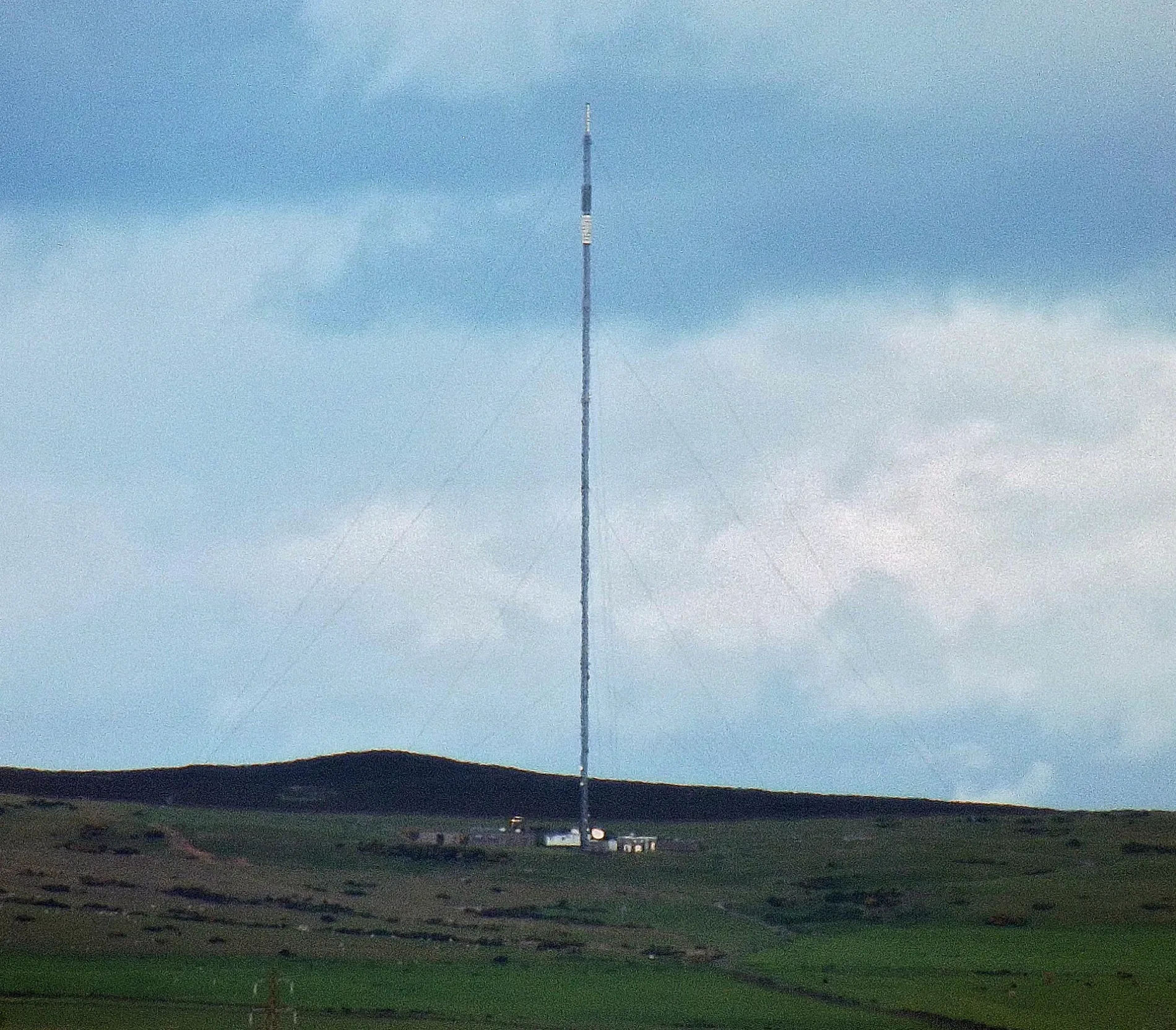
Angus transmitting station in Angus, Scotland
Angus transmitting station in Angus is a fence. Angus transmitting station is near Mansefield. Ⓦ.
- Land Use
- industrial area
- Operator
- Arqiva
Image
Roads nearby
Mansefield2,1 km
School RoadTealing School, Hospitalfield
2,5 km
Huntingfaulds RoadBalgray, Huntingfaulds
2,6 km
Coralden Bridge2,7 km
Old Forfar RoadTodhills, Tealing Holdings, Newbigging, Balmuir
3,0 km
The MillMilton of Ogilvie
3,2 km
Attraction nearby
Tealing Earth House3,1 km
Tealing House Dovecot3,2 km
Buildings nearby
Tealing House3,3 km
Churches nearby
Tealing Parish Church3,0 km
Farmlands nearby
Milton Field3,3 km
Farmyards nearby
Coldstream1,2 km
Balcalk1,7 km
Huntingfaulds1,8 km
Over Finlarg2,0 km
Dryburn2,1 km
Prieston2,1 km
New Mains of Tealing2,5 km
Meikle Kilmundie2,6 km
Nether Handwick2,7 km
Balkemback2,7 km
Tarbrax2,8 km
Tinkletap Farm2,8 km
North Balluderon2,9 km
Mill of Tealing3,0 km
Newlandhead3,2 km
Tealing Home Farm3,2 km
Little Kilmundie3,3 km
Upper Handwick3,3 km
Nether Middleton3,3 km
Upper Middleton3,4 km
South Balluderon3,5 km
Forests nearby
Calfward Wood1,5 km
Tealinghill Wood2,8 km
Tarbrax Wood3,0 km
Houses nearby
Mansfield2,1 km
Sunnyview2,4 km
The Manse2,5 km
Ryehill3,2 km
Industrial areas nearby
Gas Installation Station2,2 km
Quarries nearby
Kilmundie Quarry2,8 km
Streams nearby
Ward Burn1,7 km
Curmand Burn1,8 km
Breadie Burn2,6 km
Piperden Burn2,9 km
Tealing Burn3,7 km
Woodlands nearby
Fallen Den1,6 km
Coral Den3,0 km
Balkello Community Woodland3,4 km
| Located in | Angus |
|---|---|
| Country | United Kingdom |
 Public transport map Angus Legend
 | Railway | |
| Bus | |
| Tram |
 Cycling map Angus Legend
 | Cycle path | |
| Cycle lane on road | |
| Cycling on bus lane | |
| Bicycle street | |
| Cyclists allowed | |
| Cyclists allowed, good surface | |
| No cycling | |
| Cobblestones |
| Long-distance cycle route | (depending on scale) | |
| Long-distance cycle route |
 Walking map Angus Legend
 | Path |
| Long-distance hiking trail | (depending on scale) | |
| Long-distance hiking trail | ||
| No pedestrians |