
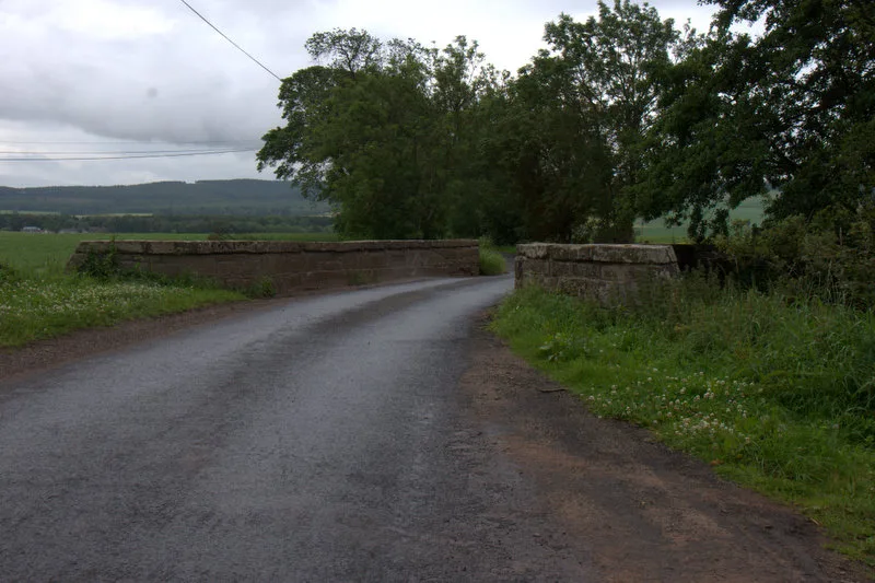
Bridge of Cookstoun in Angus, Scotland
Bridge of Cookstoun in Angus is a tertiary road. It runs in a north-south direction and ends in a cul-de-sac. Ⓦ.
- Road Type
- tertiary road
- Route
- north-south
Image
Roads nearby
Eassie Bridge1,3 km
Linross Farm CottagesLinross
1,9 km
Kaims CottagesAirlie
3,2 km
Balkeerie CottagesCottages
3,2 km
Baitland Cottages3,3 km
North Nevay Cottages3,4 km
Abandoned railways nearby
Kinnaber Junction and Stanley Junction Line2,6 km
Buildings nearby
Quarry Cottage3,7 km
Churches nearby
Eassie Old Church1,4 km
Moberty United Free Church1,4 km
Community centres nearby
Eassie and Nevay Hall2,9 km
Farmyards nearby
Cookston Farm250 m
Inglewood1,2 km
Blackhills Farm1,3 km
Eassie Farm1,4 km
Eassie Mill1,8 km
Linross Farm1,8 km
Hatton of Eassie2,0 km
Nether Logie2,1 km
Newmill2,2 km
Ingliston Farm2,3 km
Murleywell2,5 km
Kinalty Haughs2,6 km
Ewnie2,8 km
Carlingwell2,8 km
North Nevay3,5 km
East Nevay3,7 km
Forests nearby
Muir Plantation1,3 km
Lendrick Bank2,4 km
Inglistonhill Wood2,9 km
Murleywell Strip3,0 km
Guest house nearby
Arndean B&B1,9 km
Houses nearby
Eassie Mill Cottage1,8 km
School House2,8 km
Old School House2,9 km
Kirkgate3,1 km
Industrial areas nearby
Potato Processing Plant1,4 km
Airlie Sawmill2,5 km
Places of worship nearby
Eassie and Nevay Parish Church3,1 km
Quarries nearby
Ingliston Quarry2,8 km
Denoon Quarry3,7 km
Rivers nearby
Dean Water650 m
Service buildings nearby
Craigton Telephone Exchange2,9 km
Streams nearby
Eassie Burn1,9 km
Camno Burn2,0 km
Baikie Burn2,4 km
Valleies nearby
Strathmore900 m
Woodlands nearby
Swirl Wood2,6 km
Balgownie Muir Plantation2,7 km
| Located in | Airlie, Angus |
|---|---|
| Country | United Kingdom |
| Crosses | Dean Water |
| Carries thoroughfare | unclassified road |
 Public transport map Angus Legend
| Railway | |
| Bus | |
| Tram |
 Cycling map Angus Legend
| Cycle path | |
| Cycle lane on road | |
| Cycling on bus lane | |
| Bicycle street | |
| Cyclists allowed | |
| Cyclists allowed, good surface | |
| No cycling | |
| Cobblestones |
| Long-distance cycle route | (depending on scale) | |
| Long-distance cycle route |
 Walking map Angus Legend
| Path |
| Long-distance hiking trail | (depending on scale) | |
| Long-distance hiking trail | ||
| No pedestrians |