
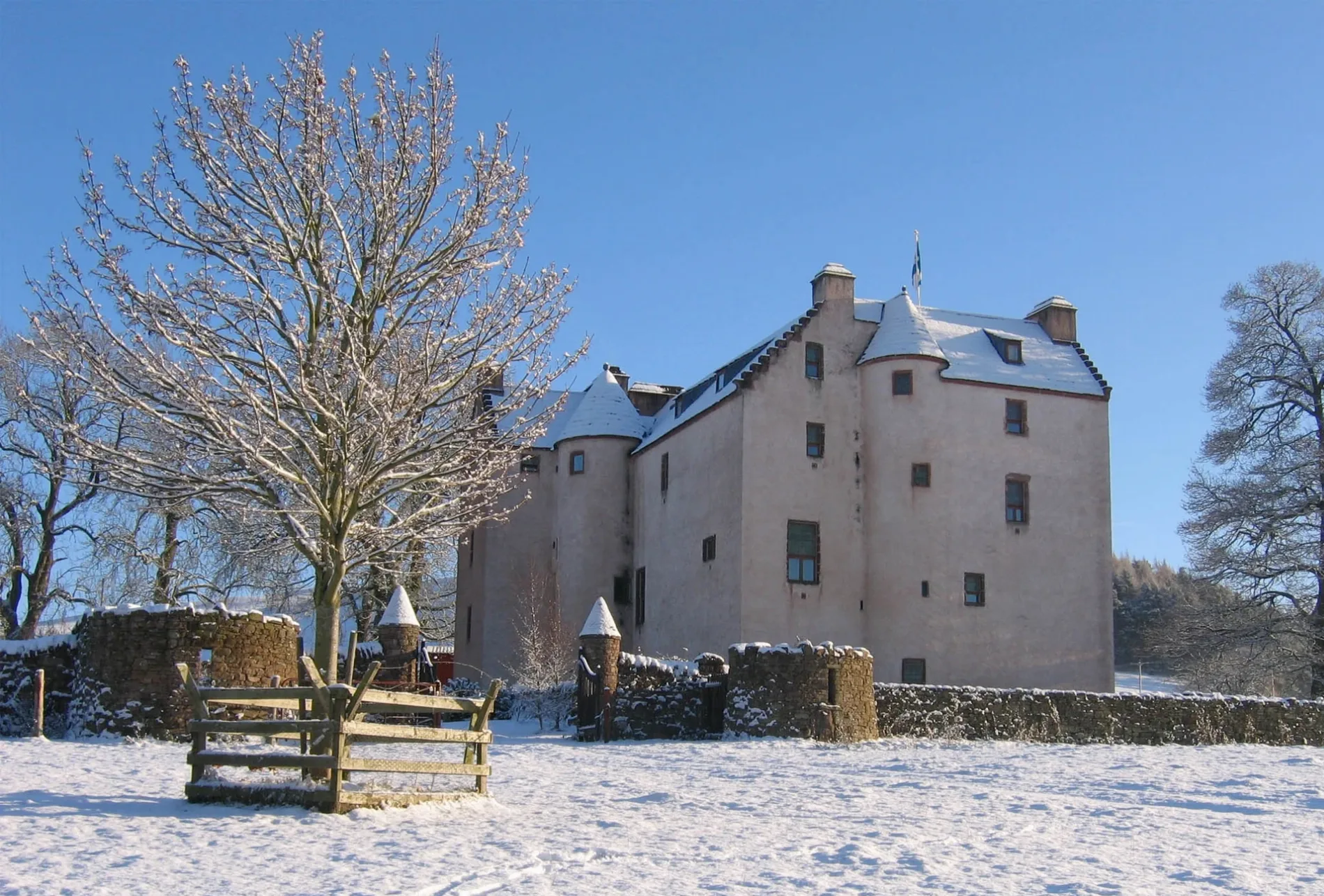
Hatton Castle in Angus, Scotland
Hatton Castle in Angus is a castle (manor house) (PH12 8UN). Hatton Castle is near Kinpurnie Gardens. Ⓦ.
- Postal Code
- PH12 8UN
- Building Type
- castle
Image
Roads nearby
Dunarn Street350 m
Knox Close350 m
Dunarn Terrace350 m
Bulb Farm Road400 m
South StreetThe Commercial, Monifieth, Glamis Road
400 m
Kinpurnie Gardens450 m
Castle StreetNewtyle, Westwood
450 m
Belmont StreetThe Mill Shop
450 m
Commercial Street500 m
Church StreetJ. Pirie & Son, Mechanics Institute, Brechin Town House Museum, Dino's Kebab House, Dalhousie Street, Church Street, Church Street at Aboukir Hotel
500 m
Dundee RoadThe Newtyle Garage, Red Lion Caravan Park, Red Lion, Ice Cream Bar, HomeBargain Bus Stop, Asda, Newtyle Church, Glamis Village, Glamis School, Mary Countess Way, Kerr's Miniature Railway, Elliot Caravan Park
500 m
Bulb Park550 m
Monteith Place550 m
North StreetMontrose Playhouse
650 m
Kirkton RoadKirkton of Newtyle, Park View, Kirkton Shops, Cairnie Loan, Aikman Road, Millfield Kitchens & Chinese Takeaway, Primary School, Kirkton of Airlie, Grange of Airlie, Kirkton Road, Hunter Road, East Kirkton Road
650 m
Smiddy Road700 m
Coupar Angus RoadSchool Wynd, Birkhill Inn, Sidlaw Gardens, Post Office, Edward Place, Dronley Road, Post Box Road, Five Mile House Post Office, Davidsons Chemists
800 m
Strathmore Gardens850 m
Bonnyton RoadFauldiehill, Fauldiehill Grange, Hallacre, Davidston Cottage, Bonnyton, Westwood
2,0 km
Abandoned railways nearby
Newtyle Goods Branch600 m
Dundee & Newtyle Railway1,8 km
Kinnaber Junction and Stanley Junction Line2,2 km
Body of waters nearby
Hunkrum Dubs1,7 km
Buildings nearby
Former Newtyle Railway Station350 m
Newtyle Telephone Exchange650 m
Bannatyne House850 m
Edderty1,8 km
Community centres nearby
Newtyle Legion Hall400 m
Wharncliffe Hall550 m
Farmyards nearby
Hatton150 m
Burnmouth1,1 km
Millhole1,6 km
Kinpurney1,6 km
Davidston1,8 km
Forests nearby
The Den1,2 km
The Birks1,3 km
Millhole Strip1,8 km
Nethermill Wood2,0 km
Houses nearby
East Kinpurney1,3 km
Places of worship nearby
Newtyle Parish Church650 m
Playgrounds nearby
Newtyle Park Play Space650 m
Post offices nearby
Newtyle Post Office & Village Store600 m
Quarries nearby
Burnside Quarry (disused)1,0 km
Razed railways nearby
Alyth Fork Line2,0 km
Recreation grounds nearby
Newtyle Park650 m
Sports pitches nearby
Newtyle Bowling Club650 m
Streams nearby
Newtyle Burn450 m
Denend Burn1,2 km
Valleies nearby
Glack of Newtyle650 m
| Heritage designation | category B listed building |
|---|---|
| Located in | Angus, Newtyle |
| Country | United Kingdom |
 Public transport map Angus Legend
 | Railway | |
| Bus | |
| Tram |
 Cycling map Angus Legend
 | Cycle path | |
| Cycle lane on road | |
| Cycling on bus lane | |
| Bicycle street | |
| Cyclists allowed | |
| Cyclists allowed, good surface | |
| No cycling | |
| Cobblestones |
| Long-distance cycle route | (depending on scale) | |
| Long-distance cycle route |
 Walking map Angus Legend
 | Path |
| Long-distance hiking trail | (depending on scale) | |
| Long-distance hiking trail | ||
| No pedestrians |