
Little Herdhill Way in Angus, Scotland
Little Herdhill Way in Angus is a lit residential street. It runs in a north-south direction and ends in a cul-de-sac.
- Road Type
- residential street
- Speed Limit
- 30 mph
- Route
- north-south
Image
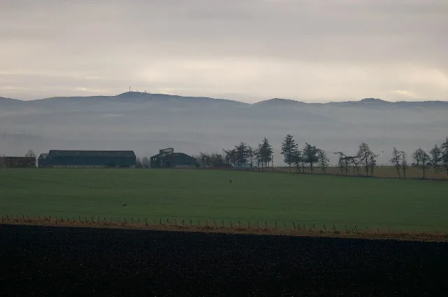
Roads nearby
Westfield550 m
Ferrier Fields600 m
Slade RoadSlade Gardens, Knowehead Crescent, Viewfield
650 m
Middlefield Avenue650 m
Slade Gardens650 m
Muir Street700 m
Clova Road700 m
Isla Road700 m
KnoweheadBook Swap Box
700 m
Knowehead Crescent750 m
Denfield Court800 m
Lindsay StreetIsla Road, Newton Hotel, Lindsay Street, Lindsay Street Shops, Autosales, Southmuir, Spar
800 m
Thrums Gardens800 m
Mill Street850 m
Lochmill850 m
Sunnyside850 m
Court Hillock Gardens900 m
Henry Street900 m
Denbrae900 m
Kinnordy Avenue950 m
Tannage Brae950 m
Denacre950 m
Cortachy RoadKinnordy Road, Mid Road, Cortachy Road, Woodend Dtive, Cairn Road
950 m
Stiven Crescent1000 m
Barrie's Land1000 m
Kinnordy Place1000 m
Kilnbank Lane1000 m
Wilkie's Land1000 m
Orchard Brae1,0 km
GlengateLiquorice Tattoo, Because of Birds, Colin M Smith, King Kong Tattoo, Visions, Gentlemen's Hairdresser, Glengate Larder & Deli, The Nook & Cranny
1,0 km
WellgateArbroath Level Crossing
1,0 km
Gordon Park1,0 km
Gladstone Place1,0 km
Park Place1,0 km
Kinnordy Road1,1 km
Farmyards nearby
Little Herdhill100 m
Balbrydie750 m
Fire stations nearby
Kirriemuir Fire Station1000 m
Grandstands nearby
Raymond Dyce Stand400 m
Parks nearby
Martin Park500 m
The Den900 m
Playgrounds nearby
Martin Park Play Area500 m
Knowehead Play Area700 m
The Den Play Area850 m
Pubs nearby
Kirriemuir Thistle Social Club500 m
Recreation grounds nearby
Westview Park500 m
Sports centres nearby
Webster's Sports Centre900 m
Sports pitches nearby
Kirriemuir Thistle F.C.500 m
Streams nearby
Gairie Burn950 m
 Public transport map Angus Legend
| Railway | |
| Bus | |
| Tram |
 Cycling map Angus Legend
| Cycle path | |
| Cycle lane on road | |
| Cycling on bus lane | |
| Bicycle street | |
| Cyclists allowed | |
| Cyclists allowed, good surface | |
| No cycling | |
| Cobblestones |
| Long-distance cycle route | (depending on scale) | |
| Long-distance cycle route |
 Walking map Angus Legend
| Path |
| Long-distance hiking trail | (depending on scale) | |
| Long-distance hiking trail | ||
| No pedestrians |