
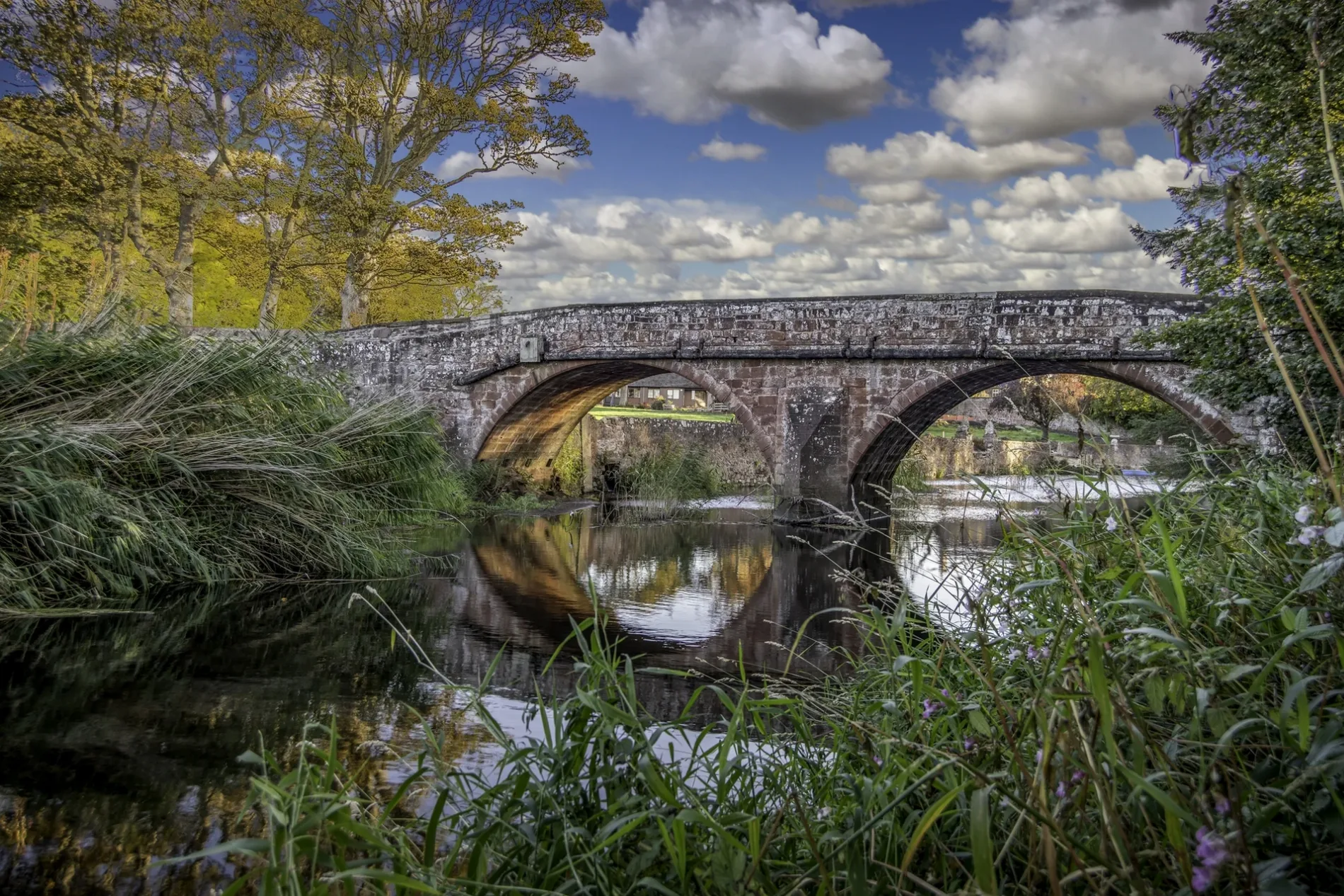
Lunan Bridge in Angus, Scotland
Lunan Bridge in Angus is a asphalted tertiary road. This road is part of the bicycle routes NCN 1 Dundee to Tain and EuroVelo 12 - North Sea Cycle Route - part United Kingdom 7.
- Bicycle
- yes
- Road Type
- tertiary road
Image
Roads nearby
Imrie CrescentImrie Crescent, Braehead of Lunan
1,2 km
Balnabrechan Drive1,4 km
Kirkton CottagesKirkton of Kinettles, Kirkton
2,9 km
Kirkton RoadKirkton of Newtyle, Park View, Kirkton Shops, Cairnie Loan, Aikman Road, Millfield Kitchens & Chinese Takeaway, Primary School, Kirkton of Airlie, Grange of Airlie, Kirkton Road, Hunter Road, East Kirkton Road
2,9 km
Lunan Avenue3,0 km
Main RoadHillside, Main Road, Westmuir Shoppie & Post Office, Westmuir, Post Office, Hillhead of Hedderwick
3,0 km
Station RoadInverkeilor, Chance Inn, Inverkeilor School, Carnoustie, Station Road Taxi Rank, Old Post Office, Barry Parish Church, Friockheim Road End, Toll House, Barry Links, Barry West Level Crossing, Sutties Garage
3,1 km
Teapot LaneChance Inn, Gordon's Restaurant with Rooms
3,1 km
Myreside Drive3,2 km
Redcastle Road3,2 km
Keilor Way3,3 km
Railways nearby
Inverkeilor Signal Box3,2 km
Attraction nearby
Lunan Bay450 m
Arbikie Distillery1,5 km
Buildings nearby
Inverkeilor Telephone Exchange3,2 km
Dunninald Castle3,2 km
Cafés nearby
Lunan Bay Cafe300 m
Caravan site nearby
Lunan Bay Campsite300 m
Chalet nearby
Fishermens' Bothy500 m
Community centres nearby
Inverkeilor Village Hall3,1 km
Detached houses nearby
Lunan Bothies350 m
Farmyards nearby
Lunan Home Farm300 m
Lunan Bay Farm500 m
Courthill Farm1,2 km
Red Castle Farm1,3 km
Buckiemill1,7 km
Cothill1,9 km
Upper Dysart1,9 km
Ironshill2,0 km
Nether Dysart2,1 km
Arbikie2,6 km
Boddin3,3 km
Mains of Dunninald3,3 km
East Mains of Dysart3,4 km
Inchock3,6 km
Raesmill3,7 km
Guest house nearby
Balnabrechan Lodge Bed and Breakfast1,3 km
Heaths nearby
Buckie Den1,3 km
Industrial areas nearby
Inverkeilor Wastewater Treatment Works3,1 km
Parks nearby
The Park2,9 km
Places of worship nearby
Lunan Parish Church100 m
Inverkeilor Parish Church3,0 km
Pubs nearby
Chance Inn3,1 km
Railway lines nearby
Edinburgh to Aberdeen Line750 m
Rivers nearby
Lunan Water2,2 km
Streams nearby
Keilor Burn2,7 km
Woodlands nearby
Drumbertnot Wood1,8 km
Dunninald Den2,6 km
Govanhill Wood2,8 km
| Heritage designation | category B listed building |
|---|---|
| Located in | Angus, Lunan |
| Country | United Kingdom |
| Crosses | Lunan Water |
| Carries thoroughfare | unclassified road |
 Public transport map Angus Legend
 | Railway | |
| Bus | |
| Tram |
 Cycling map Angus Legend
 | Cycle path | |
| Cycle lane on road | |
| Cycling on bus lane | |
| Bicycle street | |
| Cyclists allowed | |
| Cyclists allowed, good surface | |
| No cycling | |
| Cobblestones |
| Long-distance cycle route | (depending on scale) | |
| Long-distance cycle route |
 Walking map Angus Legend
 | Path |
| Long-distance hiking trail | (depending on scale) | |
| Long-distance hiking trail | ||
| No pedestrians |