
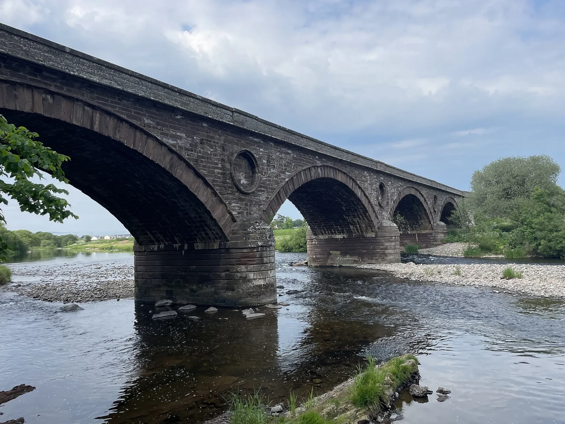
Marykirk Bridge in Angus, Scotland
Marykirk Bridge in Angus is a unlit main road. Ⓦ.
- Road Type
- main road
- Speed Limit
- 60 mph
Image
Roads nearby
Mill PlaceCraigo Village, Castle Cottages, Craigo
650 m
Centre Cottages750 m
Ryehill Cottages750 m
Kirktonhill RoadMarykirk, Hotel, Marykirik Hotel
800 m
Wester Balmanno Way850 m
Kirktonhill Place850 m
Esk DriveNapier Lodge
950 m
Blyth Place950 m
Napier Place950 m
Gallery RoadPert
1,3 km
Mains of Logie Farm Cottages2,5 km
Cattle Rake2,9 km
Railways nearby
Craigo Signal Box650 m
Buildings nearby
Gallery1,4 km
Balmakewan House2,3 km
Little Craigo2,3 km
Craigo House2,4 km
Chalet nearby
Rowanlea Lodge1,4 km
Community centres nearby
Marykirk Village Hall900 m
Farmyards nearby
Broomely450 m
Mains of Gallery1,0 km
Ardoch1,3 km
Craigo Estate2,2 km
Hattonlea2,2 km
Mains of Logie2,3 km
Balmakewan2,4 km
Bank of Gallery2,4 km
Hatton Mains2,8 km
East Ballochy Farm3,2 km
Forests nearby
Quarry Wood1,7 km
March Bank Wood2,4 km
Balmakewan Wood2,4 km
Glen Wood3,2 km
Muir of Logie Wood3,2 km
Houses nearby
Bellcote House2,1 km
Industrial areas nearby
Craigo Jute Mill600 m
Grampian Growers2,9 km
Places of worship nearby
Aberluthnott Parish Church650 m
Railway lines nearby
Edinburgh to Aberdeen Line150 m
Residential areas nearby
Law of craigo1,6 km
Craigesk1,6 km
Forge Dykes2,0 km
Ruins nearby
Logie Church2,5 km
Kirktonhill Tower2,9 km
Streams nearby
Gallery Burn2,0 km
Burn of Balmakelly2,5 km
Town halls nearby
Craigo Community Hall600 m
Woodlands nearby
North Wood1,5 km
Logie Den1,9 km
| Inception | 1814 |
|---|---|
| Located in | Angus, Aberdeenshire, Logie Pert, Marykirk |
| Country | United Kingdom |
| Crosses | River North Esk |
| Carries thoroughfare | A937 road |
| Connects with | Tollhouse, Marykirk Bridge |
| Significant event | start of construction |
| Location | Marykirk |
 Public transport map Angus Legend
 | Railway | |
| Bus | |
| Tram |
 Cycling map Angus Legend
 | Cycle path | |
| Cycle lane on road | |
| Cycling on bus lane | |
| Bicycle street | |
| Cyclists allowed | |
| Cyclists allowed, good surface | |
| No cycling | |
| Cobblestones |
| Long-distance cycle route | (depending on scale) | |
| Long-distance cycle route |
 Walking map Angus Legend
 | Path |
| Long-distance hiking trail | (depending on scale) | |
| Long-distance hiking trail | ||
| No pedestrians |