
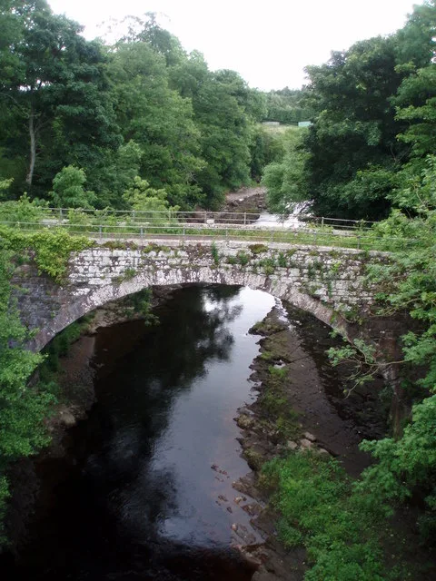
Shielhill Old Bridge in Angus, Scotland
Shielhill Old Bridge in Angus is a track. It runs in a north-south direction and ends in a cul-de-sac. Shielhill Old Bridge is also known as Shielhill Bridge, Old Bridge. The nearest bus stop in the vicinity is Shielhill Bridge (approx. 50 m away).
- Road Type
- track
- Route
- north-south
Image
Bus stops
Roads nearby
Shielhill BridgeShielhill Bridge
50 m
Church TerraceVillage Hall
1,0 km
Smiddy HaughVillage Hall, Memus
1,1 km
Crieff TerraceCrieff Terrace
2,1 km
Inshewan AvenueRoad End
2,4 km
Cortachy Bridge3,6 km
Abandoned railways nearby
Forfar and Brechin Railway3,2 km
Body of waters nearby
Den of Ogil Reservoir3,5 km
Buildings nearby
Inverquharity Castle1,6 km
Foreside Telephone Exchange2,7 km
Cortachy Castle3,2 km
Cemeteries nearby
Cortachy Castle Burial Ground3,5 km
Chalet nearby
Downie Park House1,9 km
Wellbank Cottage2,6 km
Community centres nearby
Memus and the Glens Community Hall1,1 km
Detached houses nearby
Airlie Lodge2,8 km
Farmyards nearby
Auchleuchrie1,1 km
Inverquharity Mill1,1 km
Turfachie1,2 km
Eskhill1,4 km
Burnside Farm1,5 km
Newton of Inshewan1,6 km
West Memus1,7 km
Drumclune1,9 km
Sturt1,9 km
Mains of Coul2,0 km
East Memus2,1 km
Strone2,2 km
Crieff2,2 km
Miltonbank2,2 km
Inverquharity2,3 km
Newbarns2,7 km
Cortachy Mains3,0 km
Longbank3,0 km
Cowhillock3,1 km
Boghaugh3,2 km
Derachie3,3 km
Kilnhill3,4 km
Reisk3,5 km
Gardens nearby
Walled Garden3,1 km
Guest house nearby
Cortachy House3,6 km
Houses nearby
Inverquharity Cottage2,0 km
Cossacks House2,9 km
Industrial areas nearby
Kirriemuir Gas Compressor Station3,4 km
Places of worship nearby
Cortachy Parish Church3,6 km
Pubs nearby
Drovers Inn950 m
Residential areas nearby
The Glens1,2 km
Streams nearby
White Burn2,7 km
Woodlands nearby
Woodland Garden3,2 km
| Inception | 1770 |
|---|---|
| Located in | Angus, Kirriemuir |
| Country | United Kingdom |
| Crosses | River South Esk |
| Carries thoroughfare | footpath, unclassified road |
 Public transport map Angus Legend
| Railway | |
| Bus | |
| Tram |
 Cycling map Angus Legend
| Cycle path | |
| Cycle lane on road | |
| Cycling on bus lane | |
| Bicycle street | |
| Cyclists allowed | |
| Cyclists allowed, good surface | |
| No cycling | |
| Cobblestones |
| Long-distance cycle route | (depending on scale) | |
| Long-distance cycle route |
 Walking map Angus Legend
| Path |
| Long-distance hiking trail | (depending on scale) | |
| Long-distance hiking trail | ||
| No pedestrians |