
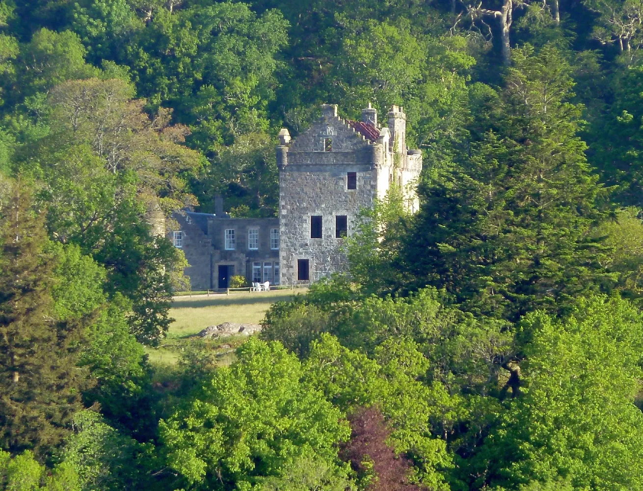
Dunmore House in Argyll and Bute
Dunmore House in Argyll and Bute is a building (listed building). Dunmore House is near Achavalich Drive.
- Building Type
- building
Image
Roads nearby
Yellow Foot Path5,1 km
Achavalich DriveAchavallich
5,8 km
Balinakill DriveBalinakill
5,9 km
Long Rigg6,1 km
Tarbert RoadBrae Road junct, Corriechrevie Vista, Corriechrevie, Kilchenzie, Clachan, opposite Ronachan House, Clachan Filling Station, Tayinloan, Rhunahaorine, Muasdale, Drum, the Putechan, Low Ballevain, Westport, Killean, Glenbarr, Bellochantuy, Men of Kilcalmonell War Memorial Gateway, Clachan, Bus Shelter, Whitehouse, West Kintyre Community Council, The Putechan
6,2 km
Nature nearby
Eilean nan Craobh1,5 km
Carraig na Graisge5,7 km
Eilean dà Ghallagain6,0 km
Attraction nearby
Dun Skeig5,6 km
Body of waters nearby
Loch Cille an Aonghais1,5 km
Loch a'Bharra Leathain2,2 km
Loch Freasdail2,9 km
Lochan Maol Moraig3,0 km
Lochan Laoigh3,4 km
Loch nan Gad4,5 km
Loch Racadal4,5 km
Lochan Liath4,5 km
Loch Lurach4,8 km
Loch a'Chaoruinn5,1 km
Lochan Sgreagach5,8 km
Buildings nearby
Whitehouse Telephone Exchange2,5 km
Grassfield3,2 km
Dun Skeig, dun5,6 km
Hall6,0 km
Clachan Telephone Exchange6,1 km
Balinakill Lodge6,2 km
Community centres nearby
Clachan Village Hall6,2 km
Convenience stores nearby
Clachan Filling Station6,0 km
Farmyards nearby
Gartnagrenach2,1 km
Strathnafeannag5,6 km
Guest house nearby
Achavalich Cottage5,8 km
Balinakill Country House6,0 km
the Old Smithy B&B6,1 km
Houses nearby
Achnaclaod Cottage1,8 km
Lounges nearby
Kennacraig Ferry Terminal Lounge2,8 km
Places of worship nearby
Kilcalmonell Parish Church6,3 km
Residential areas nearby
Whitehouse2,5 km
Rivers nearby
Amhuinn Learg an Uinnsinn5,2 km
Rocks nearby
Sgeirean Dubh1,3 km
Sands nearby
Tràigh Bhàn5,6 km
Streams nearby
Lochan na Moine-cioba650 m
Machair Loin1,9 km
Eas Torrantuirc4,0 km
Altt Caoi-rain4,1 km
Redhouse Burn4,2 km
Allt Raineach5,5 km
Clachan Burn5,6 km
Eas a'Chais5,6 km
Woodlands nearby
Millbrae Plantation2,5 km
| Located in | Argyll and Bute, South Knapdale |
|---|---|
| Country | United Kingdom |
 Public transport map Argyll and Bute Legend
| Railway | |
| Bus | |
| Tram |
 Cycling map Argyll and Bute Legend
| Cycle path | |
| Cycle lane on road | |
| Cycling on bus lane | |
| Bicycle street | |
| Cyclists allowed | |
| Cyclists allowed, good surface | |
| No cycling | |
| Cobblestones |
| Long-distance cycle route | (depending on scale) | |
| Long-distance cycle route |
 Walking map Argyll and Bute Legend
| Path |
| Long-distance hiking trail | (depending on scale) | |
| Long-distance hiking trail | ||
| No pedestrians |