
Geilston Hall in Argyll and Bute
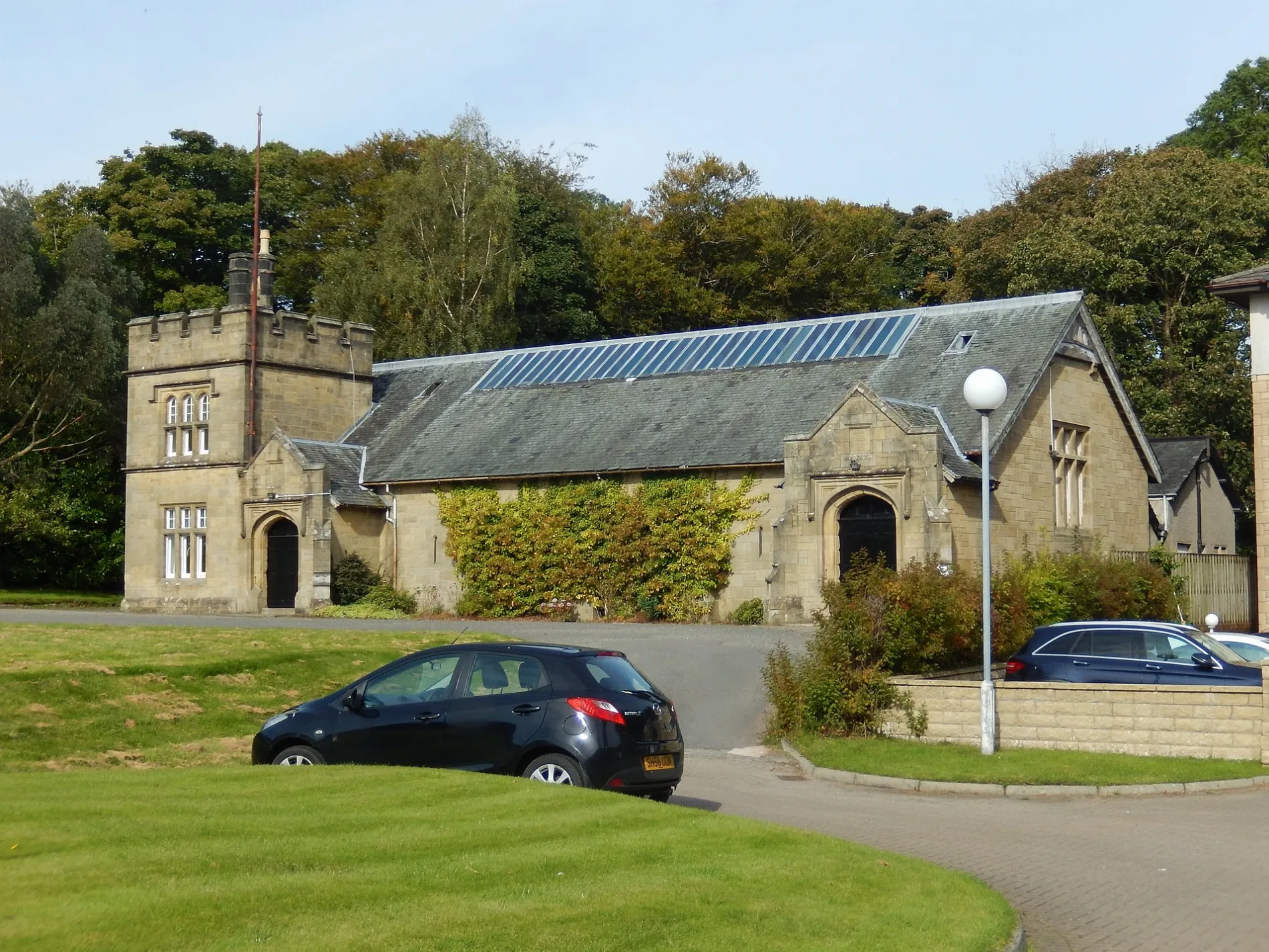
Geilston Hall in Argyll and Bute is a building (listed building). Geilston Hall is also known as Cardross Drill Hall. Geilston Hall is near Darleith Road.
- Building Type
- building
Image
Roads nearby
Darleith Road100 m
Kirkton Crescent150 m
Mill Road150 m
Kirkton Road200 m
Barrs Terrace200 m
Barrs Road250 m
Smithy Road300 m
Smithy Court300 m
Fair Way350 m
Richie Avenue350 m
Barrs Court350 m
Reay Avenue350 m
Scott Gardens400 m
Kilmahew Court400 m
Kilmahew Drive400 m
Hillside Road400 m
Muirend Road450 m
Kilmahew Avenue450 m
Kilmahew Grove450 m
Church AvenueThe Cardross Trust, Cardross Village Park
450 m
Main RoadCardross, Lomond Soap, Bloom & Beauty, Drinking Fountain, Garelochhead, Ali Fish & Chips & Curry Club
500 m
River View Crescent500 m
Park Terrace550 m
Park Grove600 m
Station RoadCraigendoran, Garelochhead, Cardross, Oban Station, Costa, Semichem, Café Shore
600 m
Braid Avenue650 m
Geilston Park700 m
Sea Wall750 m
Amenities nearby
Scout Hall400 m
Buildings nearby
Propergation house300 m
Glasshouse350 m
Garden Room350 m
Gardners Cottage350 m
Lean to Shed400 m
Cardross Telephone Exchange650 m
Community centres nearby
Church Hall700 m
Convenience stores nearby
Co-op Food300 m
Cardross Post Office600 m
Gardens nearby
Geilston Garden400 m
Kindergartens nearby
Nursery Rhymes Childcare300 m
Libraries nearby
Cardross Library600 m
Newsagent's nearby
Star Newsagent500 m
Outbuildings nearby
Doocoot350 m
Stable Buildings400 m
Pharmacies nearby
Cardross Pharmacy250 m
Places of worship nearby
Cardross Parish Church650 m
School buildings nearby
Cardross Primary School250 m
Sheds nearby
Ticket Kisok350 m
Streams nearby
Geilston Burn350 m
| Inception | 1889 |
|---|---|
| Located in | Argyll and Bute, Cardross |
| Country | United Kingdom |
 Public transport map Argyll and Bute Legend
| Railway | |
| Bus | |
| Tram |
 Cycling map Argyll and Bute Legend
| Cycle path | |
| Cycle lane on road | |
| Cycling on bus lane | |
| Bicycle street | |
| Cyclists allowed | |
| Cyclists allowed, good surface | |
| No cycling | |
| Cobblestones |
| Long-distance cycle route | (depending on scale) | |
| Long-distance cycle route |
 Walking map Argyll and Bute Legend
| Path |
| Long-distance hiking trail | (depending on scale) | |
| Long-distance hiking trail | ||
| No pedestrians |