
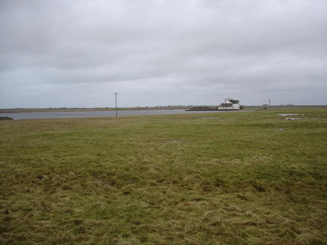
Loch an Eilein in Argyll and Bute
Loch an Eilein in Argyll and Bute is a body of water. Loch an Eilein also exists in Na h-Eileanan Siar.
- Nature
- body of water
Image
Roads nearby
Reef TerraceCrosabol - Crossapol
950 m
Sruthan TerraceCrossapol Post Office
1000 m
Struthan Terrace1,0 km
Shore StreetBaile Mhàrtainn - Balemartine, Farmhouse Cafe, Whale Song, OG2GO, Oban, The Claredon, Scotrail, The Kelvin Hotel, Peacocks, Bonmarché, Made in Argyll Arts and Crafts, Earadale Bed And Breakfast, Home Wok, Whisky Mac's, Portnahaven Post Office, The Celtic House, Taj Mahal, The Islay Whisky Shop, Alasdair Porter, Peatzeria, Cafe Life, The Island Bear
2,3 km
Bare rocks nearby
Creag an Eathair1,4 km
Bogh' an Roin1,5 km
Na h-lseanan2,6 km
Traigh nan Siolaig2,7 km
Eilean nan Siolag2,7 km
Body of waters nearby
Loch a'Chlair750 m
Loch Stànail2,3 km
Loch na Faing2,5 km
Loch Gàrradh nan Chapall2,6 km
Buildings nearby
Island House250 m
Crossapol Farm950 m
Heylipol House1,1 km
Greenacres1,2 km
Heylipol Farm1,5 km
Balinoe House1,5 km
Struthan Cottage2,8 km
Campsite nearby
Balinoe Campsite2,1 km
Chalet nearby
Skerry View2,0 km
Community centres nearby
An Talla950 m
The Island Centre1,2 km
Farmyards nearby
Main Road Farm3,1 km
Gift shops nearby
Chocolates & Charms1,3 km
Houses nearby
The Bungalow900 m
41000 m
31000 m
21,0 km
51,0 km
1Port Askaig Stores & Post Office, Port Askaig
1,0 km
61,0 km
71,0 km
81,0 km
9Caledonian MacBrayne
1,0 km
101,0 km
111,1 km
121,1 km
131,1 km
141,1 km
An Airidh2,3 km
Sunny Brae2,8 km
Industrial areas nearby
Tiree Power Station1,3 km
Places of worship nearby
Tiree Parish Church2,3 km
Streams nearby
Crossapol Burn650 m
Allt a' Gheadain1,2 km
An Dobhar Mhòr3,1 km
Other nearby
Port-Adhair Thiriodh - Tiree airport1,4 km
| Area | 15.4 ha |
|---|---|
| Located in | Argyll and Bute |
| Country | United Kingdom |
 Public transport map Argyll and Bute Legend
| Railway | |
| Bus | |
| Tram |
 Cycling map Argyll and Bute Legend
| Cycle path | |
| Cycle lane on road | |
| Cycling on bus lane | |
| Bicycle street | |
| Cyclists allowed | |
| Cyclists allowed, good surface | |
| No cycling | |
| Cobblestones |
| Long-distance cycle route | (depending on scale) | |
| Long-distance cycle route |
 Walking map Argyll and Bute Legend
| Path |
| Long-distance hiking trail | (depending on scale) | |
| Long-distance hiking trail | ||
| No pedestrians |