
Image
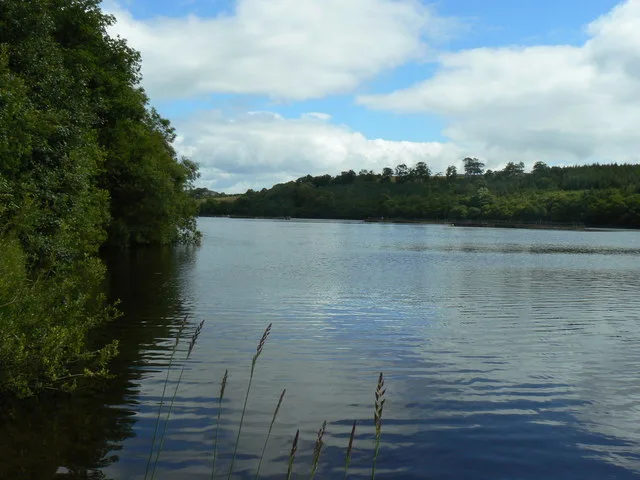
Roads nearby
Bruchag RoadKingarth Hotel, Manse
3,1 km
Mount Stuart RoadKerrycroy
3,3 km
Mount Stuart Overflow Parking3,5 km
Limetree Avenue3,7 km
TownheadRocket Composter, Townhead
3,8 km
Mount Stuart Staff Car Park3,8 km
Mount Stuart Car Park3,8 km
Carriage DriveMount Stuart House
3,9 km
Shops nearby
Mount Stuart Visitor Centre3,5 km
Beaches nearby
Scalpsie Bay2,3 km
St Ninian’s Bay3,5 km
Body of waters nearby
Loch Dhu1,5 km
Loch Ascog3,0 km
Calvary Pond3,7 km
Kirk Dam3,7 km
Buildings nearby
Scoulag Cottage3,1 km
The Kennels3,7 km
Kennel Cottages3,8 km
Kerrylamont Cottage3,9 km
Farmyards nearby
Birgidale Knock800 m
Ambrismore1,7 km
Meikle Kilmory2,0 km
Little Grenach2,3 km
Ardnahoe2,4 km
Gallachan2,5 km
Quogach2,6 km
Kerrymenoch2,9 km
Ballycurrie2,9 km
Ballianlay3,1 km
Greenan Mill3,4 km
Langalbuinoch3,6 km
Quochag3,9 km
Meikle Kilchattan3,9 km
Forests nearby
Quien Plantation450 m
Bardarrach Wood1,2 km
Barnmore Wood1,6 km
Birgidale Crieff Belt1,7 km
Barnauld Wood1,9 km
Lochend Wood2,6 km
Stewarthall Wood2,7 km
Achamor Wood3,0 km
Chapelton Wood3,3 km
Orchards nearby
Bute Produce3,4 km
Places of worship nearby
St Ninians Chapel (ruin)3,5 km
School buildings nearby
Rothesay Academy3,6 km
Streams nearby
Quien Burn1,5 km
Greenan Burn2,5 km
Mill Burn4,1 km
Woodlands nearby
Ballianlay Wood3,6 km
| Located in | Argyll and Bute |
|---|---|
| Country | United Kingdom |
 Public transport map Argyll and Bute Legend
| Railway | |
| Bus | |
| Tram |
 Cycling map Argyll and Bute Legend
| Cycle path | |
| Cycle lane on road | |
| Cycling on bus lane | |
| Bicycle street | |
| Cyclists allowed | |
| Cyclists allowed, good surface | |
| No cycling | |
| Cobblestones |
| Long-distance cycle route | (depending on scale) | |
| Long-distance cycle route |
 Walking map Argyll and Bute Legend
| Path |
| Long-distance hiking trail | (depending on scale) | |
| Long-distance hiking trail | ||
| No pedestrians |