
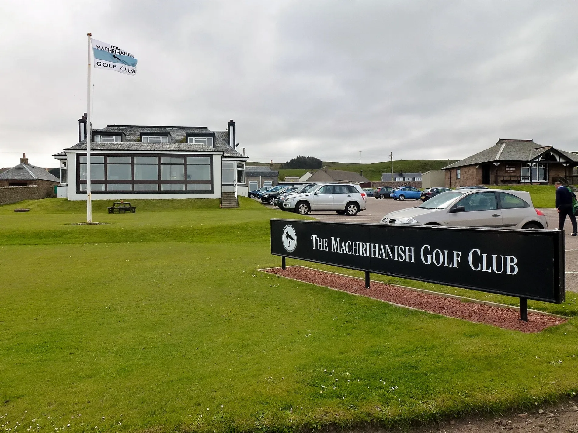
Machrihanish Golf Club in Argyll and Bute
Machrihanish Golf Club in Argyll and Bute is a building (PA28 6PT). Machrihanish Golf Club is near Bayview. Ⓦ.
- Postal Code
- PA28 6PT
- Building Type
- building
Roads nearby
Bayview150 m
Front Row2,4 km
Burnbank CottagesDrumlemble
2,5 km
Rhudal Cottages2,5 km
Sound of KintyreSound of Kintyre
4,0 km
Islay View4,0 km
Tarbert RoadDrum, Brae Road junct, Corriechrevie Vista, Corriechrevie, Kilchenzie, Clachan, opposite Ronachan House, Clachan Filling Station, Tayinloan, Rhunahaorine, Muasdale, the Putechan, Low Ballevain, Westport, Killean, Glenbarr, Bellochantuy, Men of Kilcalmonell War Memorial Gateway, Clachan, Bus Shelter, Whitehouse, West Kintyre Community Council, The Putechan
5,5 km
Body of waters nearby
Loch an t-Olais1,6 km
Killypole Loch3,0 km
Loch Orodail4,5 km
Buildings nearby
Machrihanish Telephone Exchange250 m
Control Tower3,0 km
Kennels3,0 km
Ordnance Compound (Site 2)3,3 km
Campbeltown Airport Terminal4,6 km
Oatfield House4,9 km
Kilkenzie Telephone Exchange5,4 km
Community centres nearby
Machrihanish Village Hall250 m
Drumlemble Village Hall2,5 km
Farmyards nearby
Lossit Home Farm650 m
West Drumblemble2,3 km
East Drumblemble Farm3,0 km
West Darlochan3,9 km
Aros4,2 km
West Backs4,6 km
Fire stations nearby
Campbeltown Airport Fire Station3,0 km
Golf courses nearby
Machrihanish Dunes Golf Course2,4 km
Machrihanish Links2,6 km
Hotels nearby
Ugadale Hotel100 m
Ugadale Cottages200 m
Houses nearby
Ardell House300 m
Lossit House800 m
Industrial areas nearby
CS Wind UK3,4 km
Playgrounds nearby
Machrihanish Play Park250 m
Post offices nearby
Drumlemble Post Office2,5 km
Pubs nearby
The Old Clubhouse150 m
Quarries nearby
Kilkivan Quarry1,5 km
McFadyens Quarry4,4 km
Rivers nearby
Machrihanish Water750 m
Sports shops nearby
Pro Shop100 m
Streams nearby
Tirfergus Burn2,9 km
Craigaig Water3,1 km
Allt a Ghellean Duibh4,7 km
Allt Brandon4,9 km
Killconan Burn5,2 km
Backs Water5,2 km
Kilchenzie Burn5,6 km
Other nearby
Navy Seal Compound2,3 km
Campbeltown Airport3,7 km
| Inception | 1876 |
|---|---|
| Located in | Argyll and Bute |
| Country | United Kingdom |
 Public transport map Argyll and Bute Legend
| Railway | |
| Bus | |
| Tram |
 Cycling map Argyll and Bute Legend
| Cycle path | |
| Cycle lane on road | |
| Cycling on bus lane | |
| Bicycle street | |
| Cyclists allowed | |
| Cyclists allowed, good surface | |
| No cycling | |
| Cobblestones |
| Long-distance cycle route | (depending on scale) | |
| Long-distance cycle route |
 Walking map Argyll and Bute Legend
| Path |
| Long-distance hiking trail | (depending on scale) | |
| Long-distance hiking trail | ||
| No pedestrians |